
Hraničky, village in Jeseník District of Olomouc region
Location: Uhelná
Elevation above the sea: 696 m
GPS coordinates: 50.31667,16.98333
Latest update: March 7, 2025 15:55
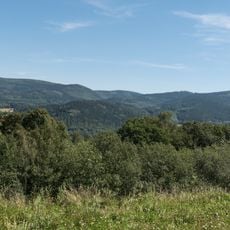
Góry Bialskie
6.1 km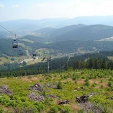
Landschaftsschutzpark Schneegebirge
3.6 km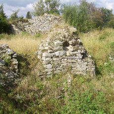
Karpień Castle
4.5 km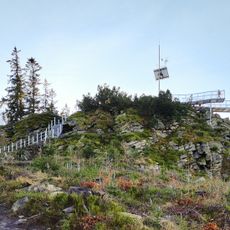
Góra Trojak
5.7 km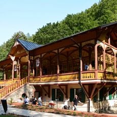
Tančírna v Račím údolí
5.9 km
Račí údolí
5.6 km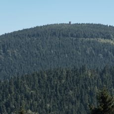
Czernica
5.1 km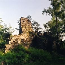
Reichenštejn
5.3 km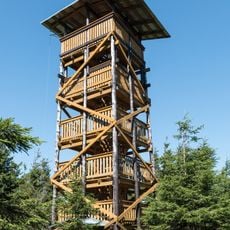
Observation tower on Czernica
5.1 km
Čertovy kazatelny
5.8 km
Karpiak
4.5 km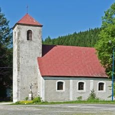
Saint Vincent church in Bielice, Lower Silesian Voivodeship
5.1 km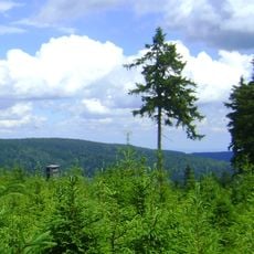
Płoska
4.8 km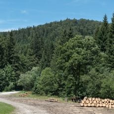
Szeroka Kopa
5.7 km
Królówka
4.9 km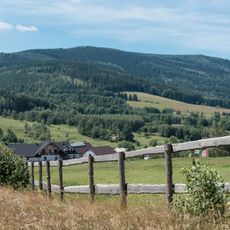
Gołogrzbiet
4.6 km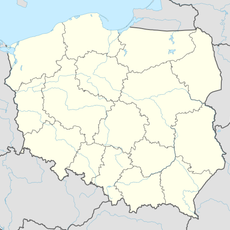
Jawornik Kobyliczny
5.4 km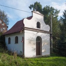
Roadside chapel in Stary Gierałtów
5.8 km
Zawodzisko
6.1 km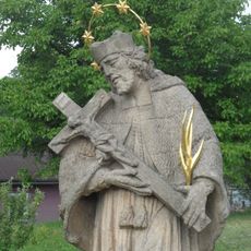
Socha svatého Jana Nepomuckého
5.3 km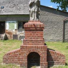
Socha svatého Jana Nepomuckého
6 km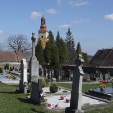
Saint Bartholomew Church in Vlčice
5.7 km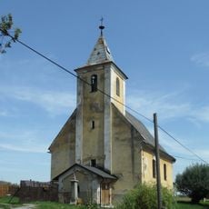
Church of Saint Ignatius in Vojtovice
3.4 km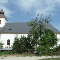
Church of Saint Catherine in Uhelná
6.4 km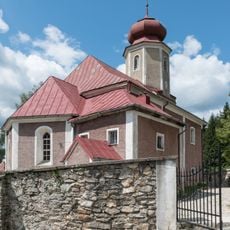
Saint John the Baptist church in Nowy Gierałtów
1.9 km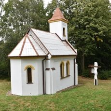
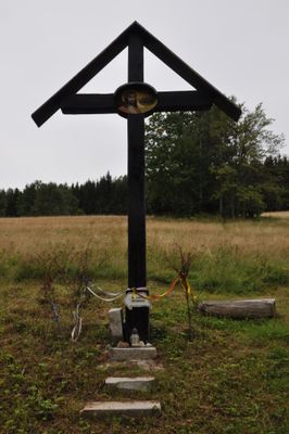
Chapel in Červený Důl
3.6 km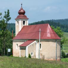
Church of Archangel Michael in Stary Gierałtów
4.1 km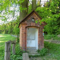
Kaplička západně od Zálesí u polní cesty
6.4 kmReviews
Visited this place? Tap the stars to rate it and share your experience / photos with the community! Try now! You can cancel it anytime.
Discover hidden gems everywhere you go!
From secret cafés to breathtaking viewpoints, skip the crowded tourist spots and find places that match your style. Our app makes it easy with voice search, smart filtering, route optimization, and insider tips from travelers worldwide. Download now for the complete mobile experience.

A unique approach to discovering new places❞
— Le Figaro
All the places worth exploring❞
— France Info
A tailor-made excursion in just a few clicks❞
— 20 Minutes