
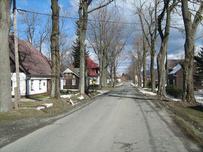
Rejvíz, part of Zlaté Hory in Jeseník District
Location: Zlaté Hory
Elevation above the sea: 780 m
GPS coordinates: 50.23000,17.31000
Latest update: March 16, 2025 03:25
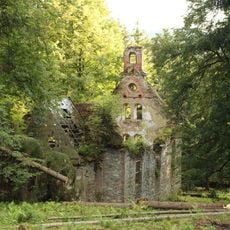
Chapel of Saint Anne (Horní Údolí)
4.1 km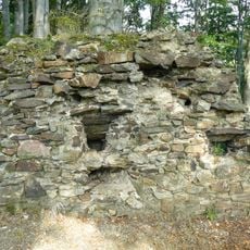
Edelštejn
5.2 km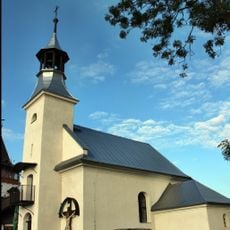
Chapel of Saint Anne
6.1 km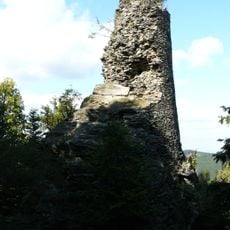
Koberštejn
3 km
Goldkoppe
5.2 km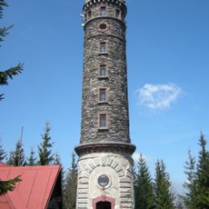
Zlatý chlum
5.2 km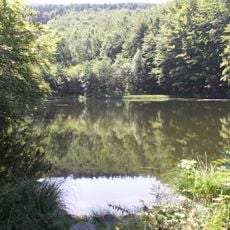
Černé jezero
4.8 km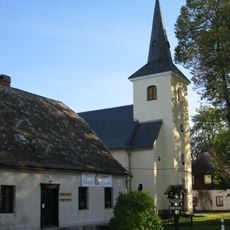
Church of the Name of the Virgin Mary
97 m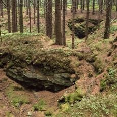
Rudní revír Starohoří
4.4 km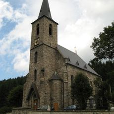
Church of Saint John the Baptist (Horní Údolí)
3.4 km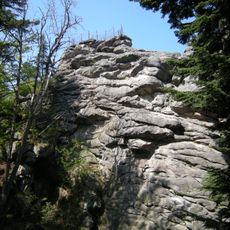
Čertovy kameny
5.5 km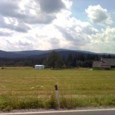
Schlossberg
3.1 km
Olověná štola
4 km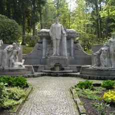
Pomník Vincence Priessnitze
6.9 km
Chebzí
3.8 km
Czwrczekova vila
7 km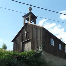
Chapel
3.7 km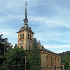
Church of Saint George in Bukovice
7.1 km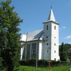
Church of Saint Martin and Our Lady of Sorrows
4.1 km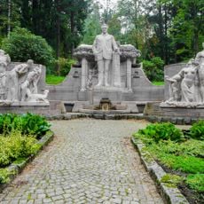
Památník Vincence Priessnitze v parku u Jeseníku
6.9 km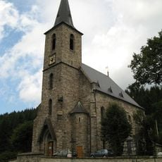
Hřbitov
3.4 km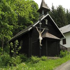
Wooden chapel in Jeseník
6 km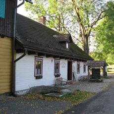
Penzion Rejvíz - bývalá Noskova chata
845 m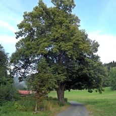
Lípa – Seč
6 km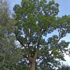
Jasan v Dětřichově
6.3 km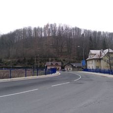
Nový most silnice II/453 přes Bělou v Bukovicích
7.3 km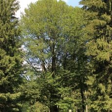
Buk u Drakova
7.4 km
Zlaté Hory - Černé jezero
5 kmReviews
Visited this place? Tap the stars to rate it and share your experience / photos with the community! Try now! You can cancel it anytime.
Discover hidden gems everywhere you go!
From secret cafés to breathtaking viewpoints, skip the crowded tourist spots and find places that match your style. Our app makes it easy with voice search, smart filtering, route optimization, and insider tips from travelers worldwide. Download now for the complete mobile experience.

A unique approach to discovering new places❞
— Le Figaro
All the places worth exploring❞
— France Info
A tailor-made excursion in just a few clicks❞
— 20 Minutes