Brněnec, Industrial heritage site in Svitavy District, Czech Republic.
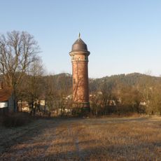
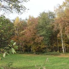
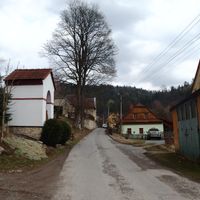
Brněnec is a municipality in Svitavy District that spreads along the Svitava River and contains four separate villages. The landscape sits at about 370 meters elevation with rolling terrain.
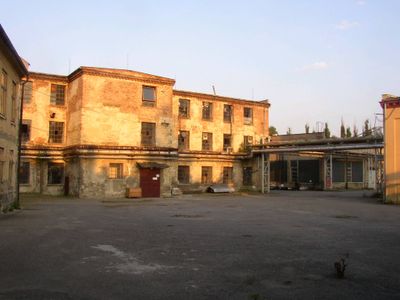
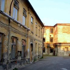
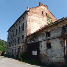
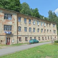
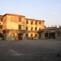
The area's history is tied to textile production, which began in 1855 when the Löw-Beer family converted a paper mill into a textile factory. This shift made the region an important manufacturing center.
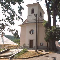
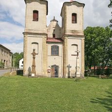
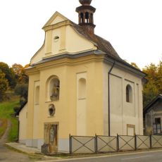
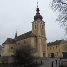
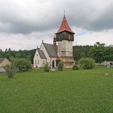
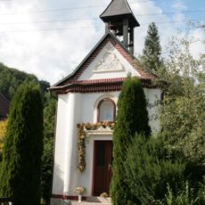
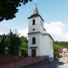
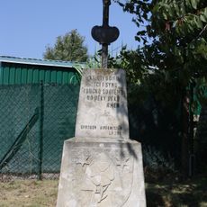
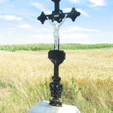
The Evangelical church built in Arts and Crafts style in Moravská Chrastová shows what mattered to local residents in the late 1800s. The building reflects how faith shaped community life here.
The area connects to larger cities via road I/43, which is part of European route E461, offering direct access to Brno and Svitavy. Visitors should plan to use personal transport, as public connections are limited.
The factory here employed hundreds of people during the Second World War, which was unusual for a small rural community at that time. This workplace was one of the few industrial centers in the region with such a large workforce.
Location: Svitavy District
Location: správní obvod obce s rozšířenou působností Svitavy
Elevation above the sea: 370 m
Shares border with: Rudná, Deštná, Bělá nad Svitavou, Březová nad Svitavou, Chrastavec, Želivsko, Letovice, Rozhraní
Email: starosta@brnenec.cz
Website: http://obec.brnenec.cz
GPS coordinates: 49.62738,16.52206
Latest update: December 7, 2025 20:24
Löw-Beer's factory
150 m
Dobře ukrytá rozhledna Járy Cimrmana
2.3 km
Březovské vodovody
4.4 km
Church of the Exaltation of the Holy Cross
3.1 km
All Saints church
3.1 km
Vila Löw-Beer
722 m
Babolský háj
5.4 km
Chapel of Fourteen Holy Helpers
1.1 km
Church of Saint Bartholomew
2.2 km
Evangelical church in Moravská Chrastová
430 m
Church of Saint Andrew
5.4 km
Church of Saints Peter and Paul
3.5 km
Fritzův mlýn
1.7 km
Church of Saint Catherine of Alexandria
4.1 km
Sculpture of Saint John of Nepomuk with saints
2.1 km
Socha svatého Jana Nepomuckého
2 km
Hrob Ivana Banděreva
2.8 km
Socha sv. Jana Nepomuckého
2.3 km
Moravské náměstí čp. 65
2 km
Fara
3.1 km
Chapel of Saint Cyril and Methodius
4.8 km
Church of Holy Trinity
1.8 km
Wayside cross with coat of arms of Horní Smržov
4.3 km
Městský dům
2 km
Lípa v Horákově Lhotě
3.2 km
Křížový kámen na kraji Horní Hynčiny
3.8 km
Křížový kámen v Horní Hynčině u silnice
4.6 km
Wayside cross
5.7 kmVisited this place? Tap the stars to rate it and share your experience / photos with the community! Try now! You can cancel it anytime.
Discover hidden gems everywhere you go!
From secret cafés to breathtaking viewpoints, skip the crowded tourist spots and find places that match your style. Our app makes it easy with voice search, smart filtering, route optimization, and insider tips from travelers worldwide. Download now for the complete mobile experience.
A unique approach to discovering new places❞
— Le Figaro
All the places worth exploring❞
— France Info
A tailor-made excursion in just a few clicks❞
— 20 Minutes