Lanškroun

Log in to your account

AroundUs is a community-driven map of interesting places, built by curious explorers like you. It grows with every review, story, and photo you share.
Connect to save your favorite spots, contribute locations, and create personalized routes.
Continue with Google
Continue with Apple
Continue with X
Continue with Facebook
Continue with email
By continuing, you accept our Terms and Conditions and our Privacy Policy
Create an account
Add to collection
Map
Suggest a change
Share

Lanškroun, Administrative municipality in Ústí nad Orlicí District, Czech Republic.

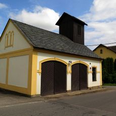
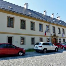
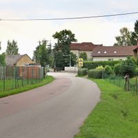
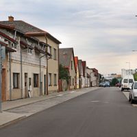
Lanškroun is a municipality in Ústí nad Orlicí District situated at roughly 373 meters above sea level. It spreads across four districts, with the inner city center surrounded by residential neighborhoods and various local areas.

The settlement first appeared in written records around 1201 and grew into a regional economic center during the 13th-century colonization period. This early development shaped the community's role in the surrounding region.

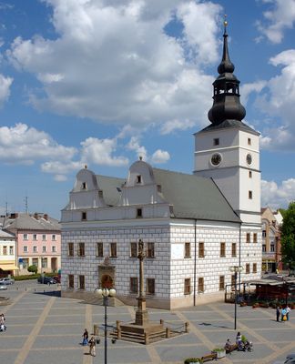
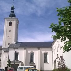
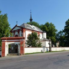
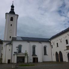
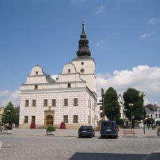
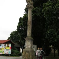
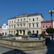
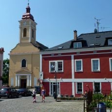
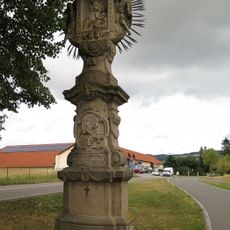
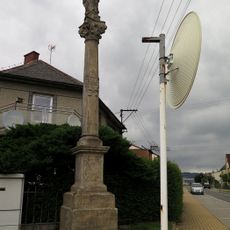
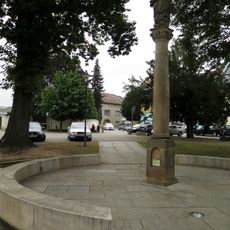
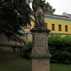
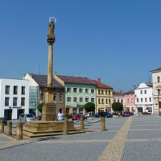
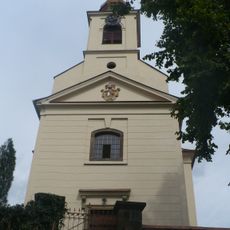
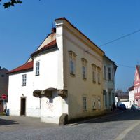
The Renaissance town hall from 1581–1582 stands at the center of town life and reflects the community's historical identity. The Church of Saint Wenceslaus nearby also shapes how locals and visitors experience the central square.

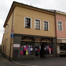
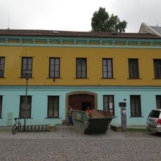
The town hosts several major industrial facilities including Kyocera AVX, Schott CR, and Schaeffler Production CZ focused on electronics and engineering. Plan to explore the central districts to understand the local economy and get a sense of everyday life in this working community.

After 1945 the community underwent a complete demographic shift, losing its German-speaking population entirely and becoming exclusively Czech. This profound transformation remains visible in the town's architecture and the stories residents share about their place.

Location: Ústí nad Orlicí District

Location: upravni občinski okoliš z razširjenimi pristojnostmi Lanškroun

Inception: 13 century

Elevation above the sea: 373 m

Shares border with: Rudoltice, Horní Třešňovec, Horní Čermná, Žichlínek, Ostrov, Luková, Albrechtice, Sázava

Email: posta@lanskroun.eu

Website: http://lanskroun.eu

GPS coordinates: 49.91219,16.61195

Latest update: December 7, 2025 10:08

Photos
Reviews

Visited this place? Tap the stars to rate it and share your experience / photos with the community! Try now! You can cancel it anytime.

« Lanškroun - Administrative municipality in Ústí nad Orlicí District, Czech Republic » is provided by Around Us (aroundus.com). Images and texts are derived from Wikimedia project under a Creative Commons license. You are allowed to copy, distribute, and modify copies of this page, under the conditions set by the license, as long as this note is clearly visible.

Discover hidden gems everywhere you go!

From secret cafés to breathtaking viewpoints, skip the crowded tourist spots and find places that match your style. Our app makes it easy with voice search, smart filtering, route optimization, and insider tips from travelers worldwide. Download now for the complete mobile experience.

Around Us App Screenshot

A unique approach to discovering new places

Le Figaro

All the places worth exploring

France Info

A tailor-made excursion in just a few clicks

20 Minutes