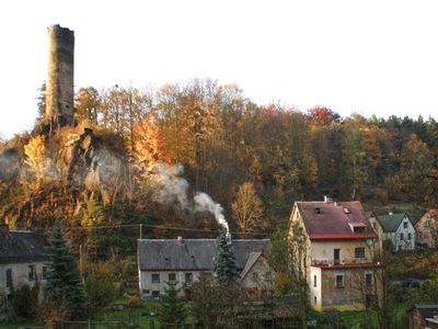
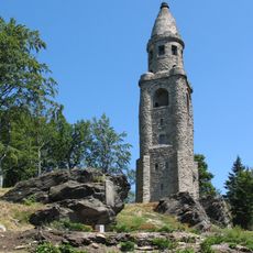
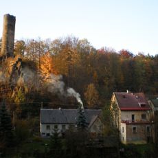
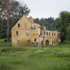
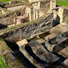
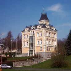
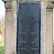
Podhradí, village in Cheb District of Karlovy Vary region
Location: Cheb District
Location: správní obvod obce s rozšířenou působností Aš
Elevation above the sea: 562 m
Shares border with: Krásná, Aš, Hranice
Email: posta@oupodhradi.cz
Website: http://oupodhradi.cz
GPS coordinates: 50.25547,12.20182
Latest update: March 2, 2025 20:15
Bismarckturm
2.5 km
Holy Trinity Church in Aš
3.5 km
Neuberg
347 m
Stadtmuseum Aš
3.5 km
Church of Saint Nicholas (Aš)
3.5 km
Doubrava Chateau
3 km
Kyselka Dolní Paseky
3.3 km
Kopaniny Chateau
1.7 km
Kyselka Doubrava
2.8 km
Church of the Good Shepherd
184 m
Paper mill in Doubrava
2.7 km
Statue of Martin Luther in Aš
3.5 km
Town hall in Aš
3.5 km
Church of Sacred Heart
2 km
Zedwitzův javor
3.5 km
Štítarský klen
2.9 km
Körnerův pomník u cesty na rozhlednu Háj
2.6 km
World War I memorial
3.4 km
Smírčí kříž
3.4 km
Penitence cross in Dolní Paseky
3.5 km
Smírčí kříž
117 m
Jahnův pomník u cesty na rozhlednu Háj
2.7 km
Deska s reliéfem Friedricha Schillera u rozhledny Háj
2.4 km
Pomník padlým ve válkách 1848 až 1866 v Podhradí u kostela
166 m
Pomník padlým v 1.světové válce v Podhradí u kostela
201 m
Smírčí kříže před muzeem v Aši
3.5 km
Evangelická fara v Aši
3.5 km
Station 150 Bärenloh
3.6 kmReviews
Visited this place? Tap the stars to rate it and share your experience / photos with the community! Try now! You can cancel it anytime.
Discover hidden gems everywhere you go!
From secret cafés to breathtaking viewpoints, skip the crowded tourist spots and find places that match your style. Our app makes it easy with voice search, smart filtering, route optimization, and insider tips from travelers worldwide. Download now for the complete mobile experience.
A unique approach to discovering new places❞
— Le Figaro
All the places worth exploring❞
— France Info
A tailor-made excursion in just a few clicks❞
— 20 Minutes