
Trojmezí, part of Hranice in Cheb District
Location: Hranice
Elevation above the sea: 602 m
GPS coordinates: 50.30070,12.14740
Latest update: March 2, 2025 22:48
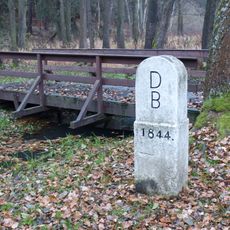
Tripoint Federal Republic of Germany, GDR, Czechoslovakia
3.8 km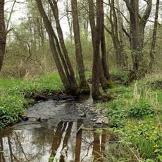
Bystřina
2.2 km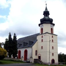
Evangelical church in Hranice
2.2 km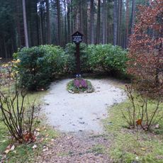
Franzosengräber
4.1 km
Turmhügel Nentschau
6.2 km
Südliche Regnitz und Zinnbach
4.3 km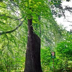
Dub u Dolíšky
1.8 km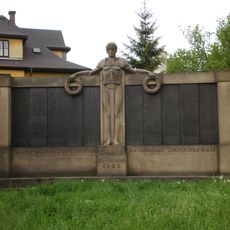
World War I memorial in Hranice
2.2 km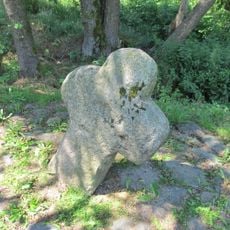
Smírčí kříž švédský
3.5 km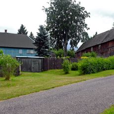
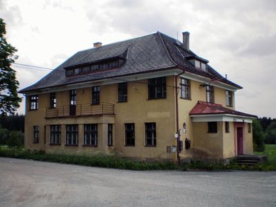
Dobrovského 97
2 km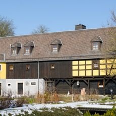
Dreiseithof
6.3 km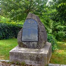
World War I memorial in Hranice
2.2 km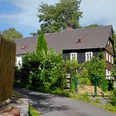
Rodinný dům
2.3 km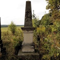
Pomník padlým v Trojmezí
723 m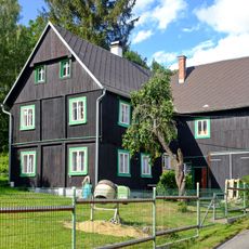
Habrmanova 180
2.4 km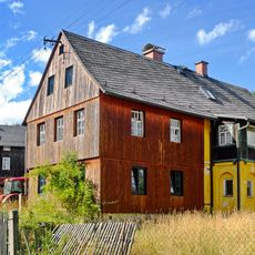
Údolní 133
2.1 km
Dreiseithof
3.8 km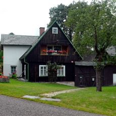
Dobrovského 98
1.9 km
Grenzstein
3.8 km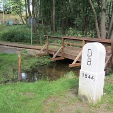
Grenzstein
3.8 km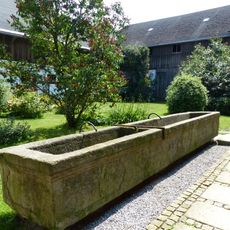
Brunnen
3.7 km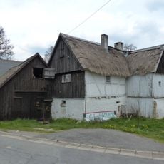
Cultural heritage D-4-75-161-17 in Regnitzlosau
6 km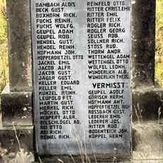
Pomník padlým v Trojmezí (2)
727 m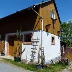
Cultural heritage D-4-75-161-23 in Regnitzlosau
4.4 km
Cultural heritage D-4-75-161-27 in Regnitzlosau
5.3 km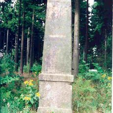
Station 151 Bergen
4.4 km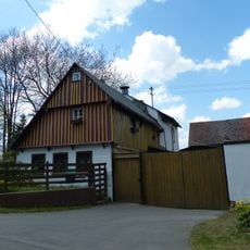
Cultural heritage D-4-75-161-22 in Regnitzlosau
4 km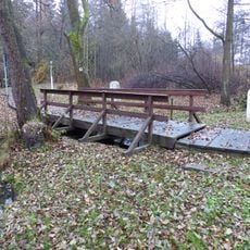
Lávka na trojmezí Čechy - Bavorsko - Sasko
3.8 kmVisited this place? Tap the stars to rate it and share your experience / photos with the community! Try now! You can cancel it anytime.
Discover hidden gems everywhere you go!
From secret cafés to breathtaking viewpoints, skip the crowded tourist spots and find places that match your style. Our app makes it easy with voice search, smart filtering, route optimization, and insider tips from travelers worldwide. Download now for the complete mobile experience.

A unique approach to discovering new places❞
— Le Figaro
All the places worth exploring❞
— France Info
A tailor-made excursion in just a few clicks❞
— 20 Minutes