Enable Location

We need your location to show you interesting places around you

Discover nearby places

Find interesting locations and hidden gems around you

Precise directions

Get accurate directions and distances to places

Your location is never shared with other users. It's only used when you tap the location button.

Prague 5

Log in to your account

Start exploring — it's free

Trusted by 61,410 travelers worldwide

Continue with Google
Continue with Apple
or

We will send you a code to connect

By continuing, you accept our Terms and Conditions and our Privacy Policy

Check your inbox

We've sent a pincode in your inbox. Please enter the code below.

Prague 5

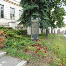
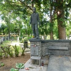
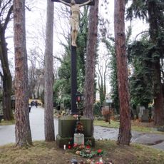
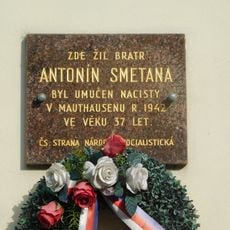
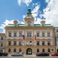
Prague 5, Administrative district on the western bank of Vltava River in Prague, Czech Republic

Description

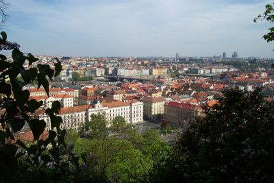
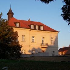
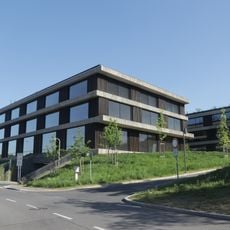
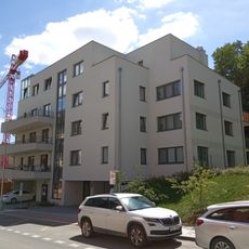
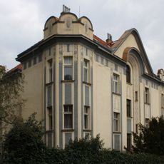
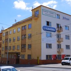
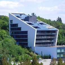
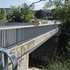
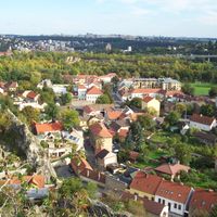
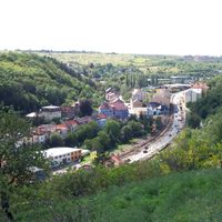
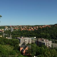
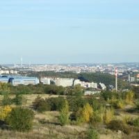
Prague 5 is a municipal district on the western bank of the Vltava River, encompassing several neighborhoods including Smíchov, Radlice, Košíře, and Barrandov. The area combines former industrial zones with modern commercial districts and residential neighborhoods.

History

The district received official status as a municipal part of Prague on July 1, 1973. This establishment brought significant changes to the area's local governance and administrative structure.

Culture

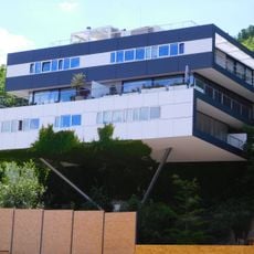
The Barrandov Film Studios shape the area's identity through their filmmaking legacy, while Smíchov transformed from industrial grounds into a modern commercial hub. This shift shows how the district adapted to new uses while keeping traces of its past.

Practical

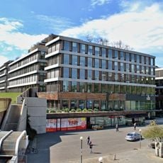
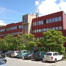
The Anděl area offers extensive underground parking, multiple shopping centers, and office buildings for visitors and workers. Good infrastructure makes it easy to navigate and explore different parts of the district.

Did you know?

The district pioneered free public internet access for residents. This early initiative made it a technological leader in the capital.

Location
Inception
July 1, 1973
Elevation above the sea
202 m
GPS coordinates
50.06000,14.39333
Latest update
December 7, 2025 19:26

AroundUs brings together thousands of curated places, local tips, and hidden gems, enriched daily by 60,000 contributors worldwide. Discover all places nearby (Prague 5).

Around this place
ČSOB Radlická
Czech Republic

ČSOB Radlická

493 m
Poetry jukebox
Czech Republic

Poetry jukebox

355 m
Church of Saints Philip and James at Malvazinky Cemetery
Czech Republic

Church of Saints Philip and James at Malvazinky Cemetery

448 m
Malvazinka
Czech Republic

Malvazinka

450 m
Chapel of Saint John of Nepomuk in Radlice
Czech Republic

Chapel of Saint John of Nepomuk in Radlice

357 m
Dub letní v ulici U Malvazinky
Czech Republic

Dub letní v ulici U Malvazinky

462 m
Pomník českým ženám v odboji
Czech Republic

Pomník českým ženám v odboji

584 m
Pomník obětem 2. světové války v Radlicích
Czech Republic

Pomník obětem 2. světové války v Radlicích

42 m
Druhá budova ČSOB v Radlicích
Czech Republic

Druhá budova ČSOB v Radlicích

500 m
Statue of John of Nepomuk in Radlice
Czech Republic

Statue of John of Nepomuk in Radlice

378 m
Pomník padlým v Květnovém povstání na Hřbitově Malvazinky
Czech Republic

Pomník padlým v Květnovém povstání na Hřbitově Malvazinky

569 m
Vila Tiller
Czech Republic

Vila Tiller

475 m
Relation of Nature and Technology
Czech Republic

Relation of Nature and Technology

379 m
Rezidence Neklanka
Czech Republic

Rezidence Neklanka

419 m
Vila Na Klavírce
Czech Republic

Vila Na Klavírce

570 m
Pomník Obětem náletu 14. února 1945 v Radlicích
Czech Republic

Pomník Obětem náletu 14. února 1945 v Radlicích

372 m
Výmolova 38/1
Czech Republic

Výmolova 38/1

428 m
Radlická 103
Czech Republic

Radlická 103

51 m
Pomník Antonína Žlábka na hřbitově Malvazinky
Czech Republic

Pomník Antonína Žlábka na hřbitově Malvazinky

592 m
Column shrine at Malvazinky cemetery
Czech Republic

Column shrine at Malvazinky cemetery

364 m
Radlická 142
Czech Republic

Radlická 142

110 m
Most ulice U Dívčích hradů přes železniční trať
Czech Republic

Most ulice U Dívčích hradů přes železniční trať

607 m
Centrální kříž na hřbitově Malvazinky
Czech Republic

Centrální kříž na hřbitově Malvazinky

591 m
Kesnerka Living
Czech Republic

Kesnerka Living

497 m
Radlická 61
Czech Republic

Radlická 61

393 m
Cemetery cross in Malvazinky Cemetery
Czech Republic

Cemetery cross in Malvazinky Cemetery

591 m
Pamětní deska Antonína Smetany na domě Pechlátova 49/3 v Radlicích
Czech Republic

Pamětní deska Antonína Smetany na domě Pechlátova 49/3 v Radlicích

144 m
Naučná stezka Farkáň - Malvazinky
Czech Republic

Naučná stezka Farkáň - Malvazinky

379 m
Show the full map
« Prague 5 - Administrative district on the western bank of Vltava River in Prague, Czech Republic » is provided by Around Us (aroundus.com). Images and texts are derived from Wikimedia project under a Creative Commons license. You are allowed to copy, distribute, and modify copies of this page, under the conditions set by the license, as long as this note is clearly visible.

Discover hidden gems everywhere you go!

From secret cafés to breathtaking viewpoints, skip the crowded tourist spots and find places that match your style. Our app makes it easy with voice search, smart filtering, route optimization, and insider tips from travelers worldwide. Download now for the complete mobile experience.

Around Us App Screenshot

A unique approach to discovering new places

Le Figaro

All the places worth exploring

France Info

A tailor-made excursion in just a few clicks

20 Minutes

Around Us
Travel Guide & Maps
Download

Send to your phone

QR Code
1

Open the camera app on your mobile.

2

Point at the QR code with your camera. A notification will appear.

3

Tap the notification to open the link.