
Suchonice, village in Olomouc District of Olomouc region
Location: Olomouc District
Location: administrative district of Czech municipality with expanded powers Olomouc
Elevation above the sea: 301 m
Shares border with: Kokory, Nelešovice, Velký Týnec, Tršice, Čelechovice
Email: obec@suchonice.zmail.cz
Website: http://suchonice.cz
GPS coordinates: 49.52705,17.38194
Latest update: April 15, 2025 00:13

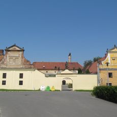
Pivovar s vodním mlýnem
3.2 km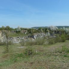
U Strejčkova lomu
4.1 km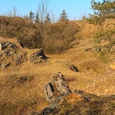
Cigánské zmoly
4 km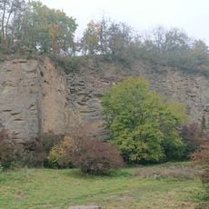
Lhotka u Přerova
3.8 km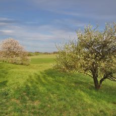
U Bílých hlin
3.8 km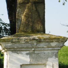
Smírčí kříž
4.1 km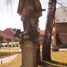
Socha svatého Jana Nepomuckého
1.4 km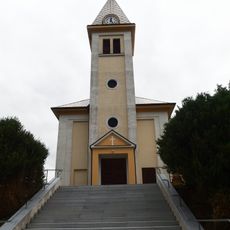
Church of Saint Wenceslaus
326 m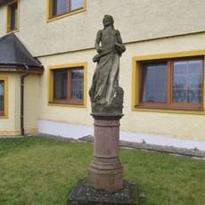
Socha svatého Jana Křtitele
2 km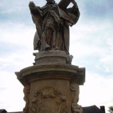
Sochy svatého Jáchyma, Josefa a Libora
3 km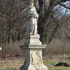
Socha svatého Antonína Paduánského
2.8 km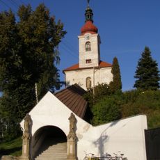
Church of the Assumption of the Virgin Mary
3.4 km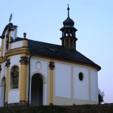
Chapel of Saint Francis Xavier
3.8 km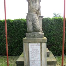
Pomník umučeným roku 1945
1.3 km
Chapel of Holy Guardian Angel
3.6 km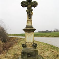
Krucifix
3.5 km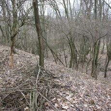
Hradiště
3.6 km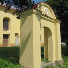
Hřbitovní brána
3 km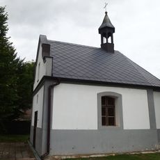
Chapel of Saints Anthony of Padua and Wendelin
2 km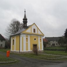
Chapel of Saint Praxedes
2.2 km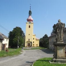
Church of Saints Peter and Paul
3 km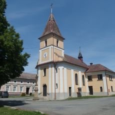
Church of Saint Florian
2.9 km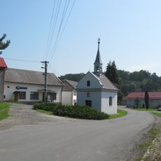
Chapel of Saint Nicholas of Tolentino
2.9 km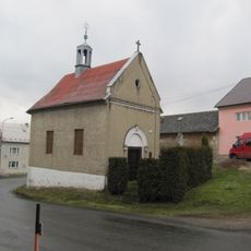
Chapel of Virgin Mary
2.6 km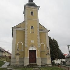
Chapel of the Nativity of the Virgin Mary
3.7 km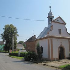
Chapel of Saints Roch, Sebastian, Fabian and Rosalia
1.9 km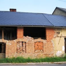
Usedlost čp. 18
3.3 km
U Bílých hlín
3.8 kmVisited this place? Tap the stars to rate it and share your experience / photos with the community! Try now! You can cancel it anytime.
Discover hidden gems everywhere you go!
From secret cafés to breathtaking viewpoints, skip the crowded tourist spots and find places that match your style. Our app makes it easy with voice search, smart filtering, route optimization, and insider tips from travelers worldwide. Download now for the complete mobile experience.

A unique approach to discovering new places❞
— Le Figaro
All the places worth exploring❞
— France Info
A tailor-made excursion in just a few clicks❞
— 20 Minutes