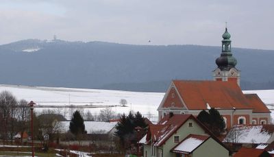
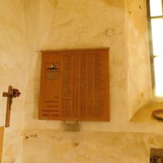
Dyleň, Mountain summit in Český les, Czech Republic.
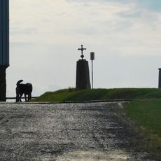
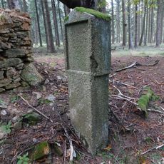
Tillenberg is a mountain summit in the Bohemian Forest in the Czech Republic, rising to 939 meters above sea level. The peak is surrounded by dense woodland and still bears communication antennas alongside the remains of former structures.
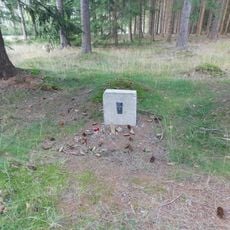
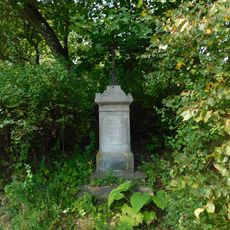
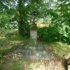
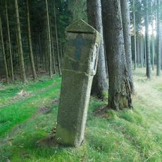
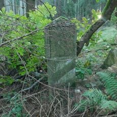
During the Austro-Hungarian period, a copper plate was placed at the summit marking this spot as the geographical center of Europe. The site gained military importance during the 20th century, used first in World War II and then through the Cold War.
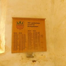
The name Tillenberg comes from the German-speaking settlers who once lived in this border region. Some trail signs and local place names in the area still reflect this mixed linguistic past.
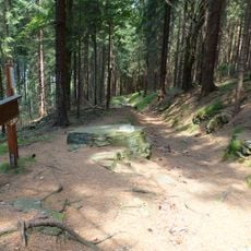
Several marked hiking trails lead to the summit from different starting points in the Bohemian Forest. Weather at this elevation can change quickly, so sturdy footwear and a waterproof layer are a good idea.
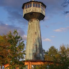
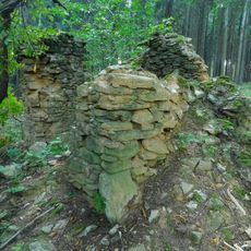
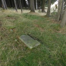
Soviet forces ran a listening post on the summit during the Cold War, monitoring activity across western regions until the early 1990s. Some of the structures built for that purpose are still visible today among the trees near the top.
The community of curious travelers
AroundUs brings together thousands of curated places, local tips, and hidden gems, enriched daily by 60,000 contributors worldwide.