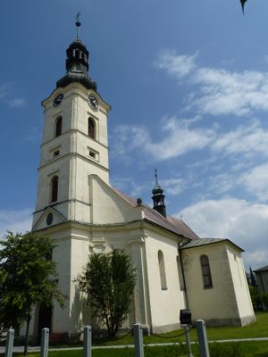
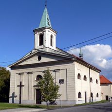
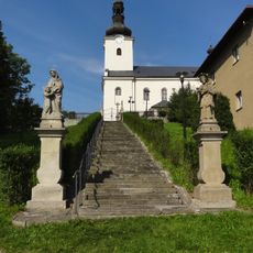
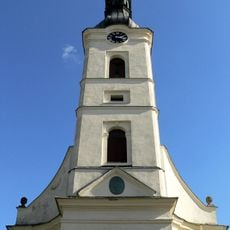
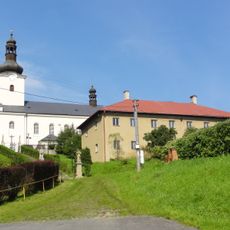
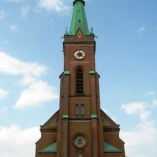
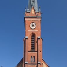
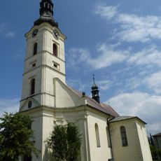
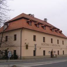
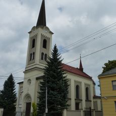
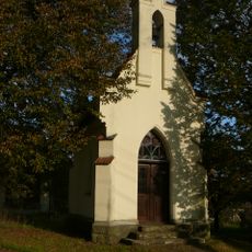
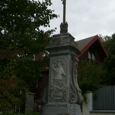
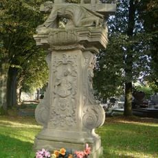
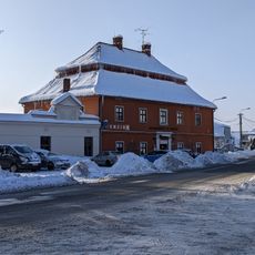
Dobrá, village in Frýdek-Místek District of Moravian Silesian region
Location: Frýdek-Místek District
Location: administrative district of the municipality with expanded powers Frýdek-Místek
Elevation above the sea: 332 m
Shares border with: Frýdek-Místek, Nošovice, Staré Město, Bruzovice
Email: oudobra@dobra.cz
Website: http://dobra.cz
GPS coordinates: 49.67381,18.41396
Latest update: April 13, 2025 13:19
Weir U Žida
3.9 km
Chapel of Saint Odile
4 km
Niva Morávky
845 m
Morávka–Žermanice
3.9 km
Kamenec
1.5 km
Profil Morávky
2.1 km
Church of Saint Martin
2.5 km
Novodvorský močál
1.9 km
Church of Saint Stanislaus (Bruzovice)
4.9 km
Church of Saint George
37 m
Parafia św. Stanisława w Bruzowicach
4.9 km
Hasičská zbrojnice
4.8 km
Zbór Ewangelickiego Kościoła Czeskobraterskiego we Frydku-Mistku
4.4 km
Lutheran church in Frýdek
4.4 km
Parafia św. Jerzego w Dobrej
34 m
Parafia św. Marcina Biskupa w Skalicy
2.5 km
U Křivého psa
4.1 km
Church of Saint Joseph
3.6 km
Sekerova vila
4 km
Dům čp. 500
4.3 km
Dům čp. 1858
4.3 km
Chapel of Saint John of Nepomuk
2.5 km
Krucifix
3.7 km
Sousoší Krista klesajícího pod křížem
2.1 km
Usedlost U oráče
184 m
Hrob - společné pohřebiště Rudé armády
2.3 km
Chapel of Saint John the Baptist
2.2 km
Chapel of Saint John of Nepomuk
3.7 kmReviews
Visited this place? Tap the stars to rate it and share your experience / photos with the community! Try now! You can cancel it anytime.
Discover hidden gems everywhere you go!
From secret cafés to breathtaking viewpoints, skip the crowded tourist spots and find places that match your style. Our app makes it easy with voice search, smart filtering, route optimization, and insider tips from travelers worldwide. Download now for the complete mobile experience.
A unique approach to discovering new places❞
— Le Figaro
All the places worth exploring❞
— France Info
A tailor-made excursion in just a few clicks❞
— 20 Minutes