Enable Location

We need your location to show you interesting places around you

Discover nearby places

Find interesting locations and hidden gems around you

Precise directions

Get accurate directions and distances to places

Your location is never shared with other users. It's only used when you tap the location button.

Frýdek-Místek District

Log in to your account

Start exploring — it's free

Trusted by 61,687 travelers worldwide

Continue with Google
Continue with Apple
or

We will send you a code to connect

By continuing, you accept our Terms and Conditions and our Privacy Policy

Check your inbox

We've sent a pincode in your inbox. Please enter the code below.

Frýdek-Místek District, Administrative district in Moravian-Silesian Region, Czech Republic

Description

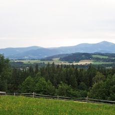
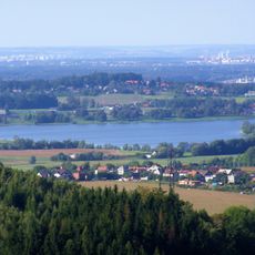
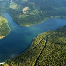
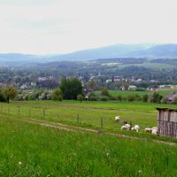
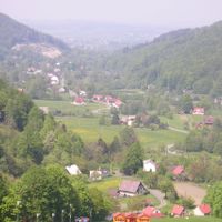
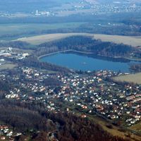
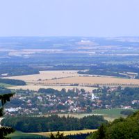
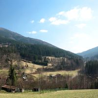
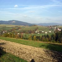
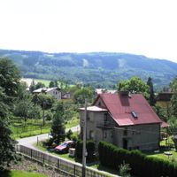
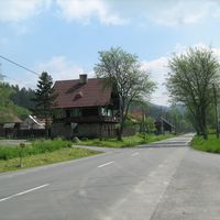
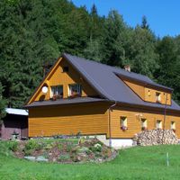
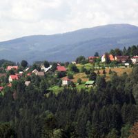
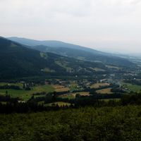
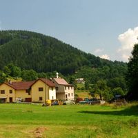
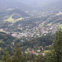
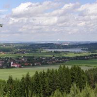
Frýdek-Místek is an administrative district in the Moravian-Silesian Region in the far east of the Czech Republic. The area covers 1,208 square kilometers and is shaped by mountain ranges, rivers, and dense forests that extend between the borders with Poland and Slovakia.

History

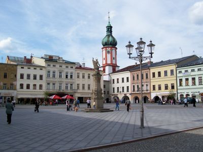
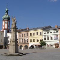
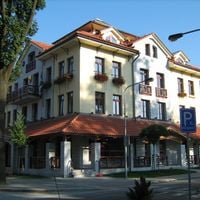
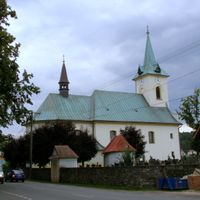
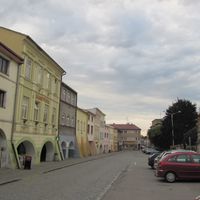
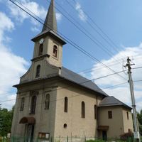
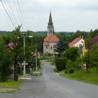
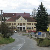
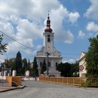
The district emerged from the merger of two historical territories, Frýdek and Místek, which developed separately before their administrative unification in 1943. This combination brought together two distinct centers of trade and craftsmanship into a single administrative unit.

Culture

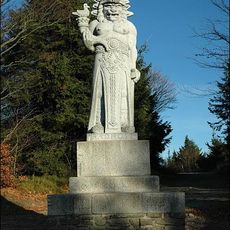
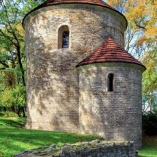
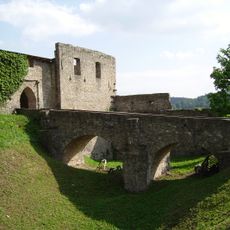
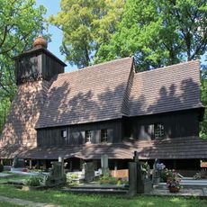
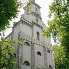
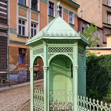
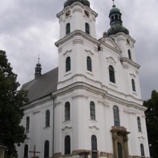
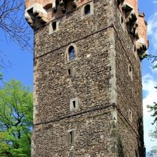
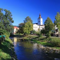
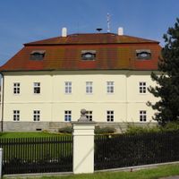
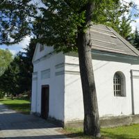
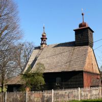
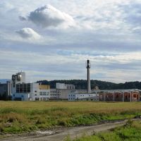
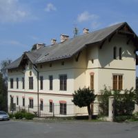
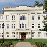
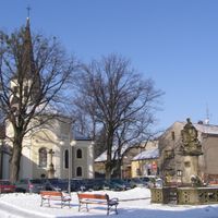
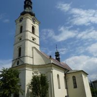
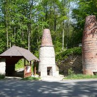
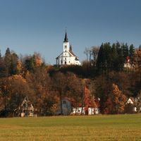
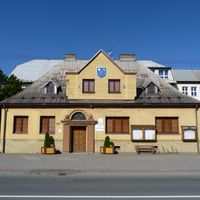
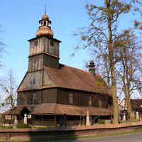
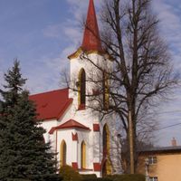
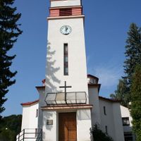
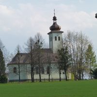
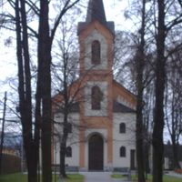
The region maintains strong industrial heritage through the Třinec Iron and Steel Works, where visitors can observe how production shaped local identity. The Frýdek Castle museum complex shows how craftspeople and merchants shaped the character of these communities over centuries.

Practical

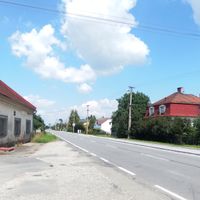
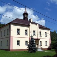
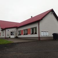
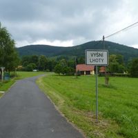
The region is well connected through the D48 motorway to Poland and the D56 to major cities, with regular public transportation serving 72 municipalities. Visitors should expect changing weather conditions in the mountainous areas and plan for longer travel times between towns.

Did you know?

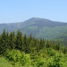
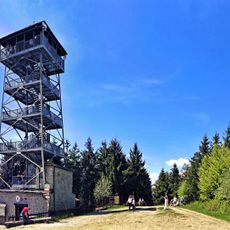
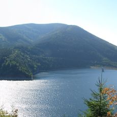
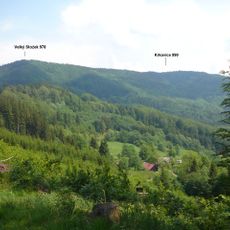
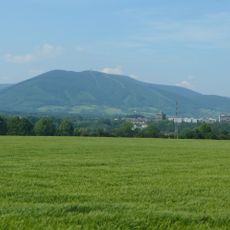
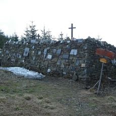
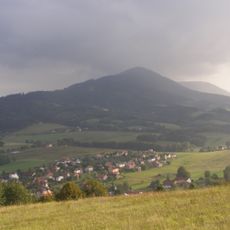
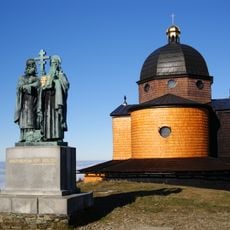
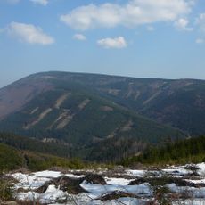
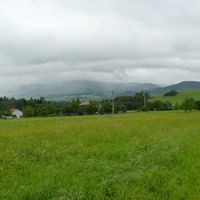
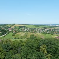
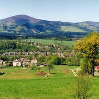
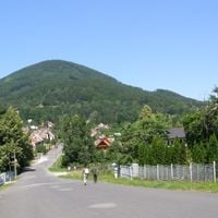
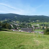
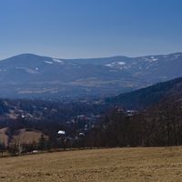
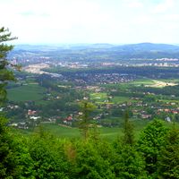
Lysá hora, the highest peak of the Moravian-Silesian Beskids at 1,324 meters (4,344 feet), rises within the district and offers views spanning three national borders. On clear days, hikers standing at this lookout can see across three countries at once.

Capital city
Frýdek-Místek
Shares border with
Ostrava-City District, Nový Jičín District, Karviná District, Vsetín District, Cieszyn County, Čadca District
GPS coordinates
49.68556,18.35056
Latest update
December 10, 2025 15:54

AroundUs brings together thousands of curated places, local tips, and hidden gems, enriched daily by 60,000 contributors worldwide. Discover all places nearby (Moravian-Silesian Region).

« Frýdek-Místek District - Administrative district in Moravian-Silesian Region, Czech Republic » is provided by Around Us (aroundus.com). Images and texts are derived from Wikimedia project under a Creative Commons license. You are allowed to copy, distribute, and modify copies of this page, under the conditions set by the license, as long as this note is clearly visible.

Discover hidden gems everywhere you go!

From secret cafés to breathtaking viewpoints, skip the crowded tourist spots and find places that match your style. Our app makes it easy with voice search, smart filtering, route optimization, and insider tips from travelers worldwide. Download now for the complete mobile experience.

Around Us App Screenshot

A unique approach to discovering new places

Le Figaro

All the places worth exploring

France Info

A tailor-made excursion in just a few clicks

20 Minutes

Around Us
Travel Guide & Maps
Download

Send to your phone

QR Code
1

Open the camera app on your mobile.

2

Point at the QR code with your camera. A notification will appear.

3

Tap the notification to open the link.