Enable Location

We need your location to show you interesting places around you

Discover nearby places

Find interesting locations and hidden gems around you

Precise directions

Get accurate directions and distances to places

Your location is never shared with other users. It's only used when you tap the location button.

Čeladná

Log in to your account

Start exploring — it's free

Trusted by 61,698 travelers worldwide

Continue with Google
Continue with Apple
or

We will send you a code to connect

By continuing, you accept our Terms and Conditions and our Privacy Policy

Check your inbox

We've sent a pincode in your inbox. Please enter the code below.

Čeladná, Mountain municipality in Frýdek-Místek District, Czech Republic.

Description

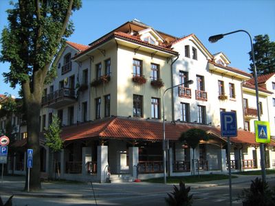
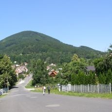
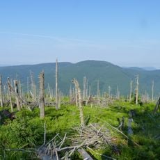
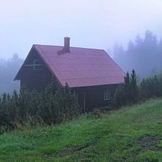
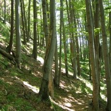
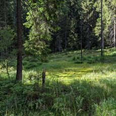
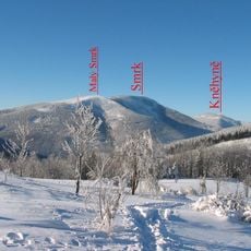
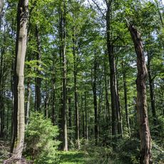
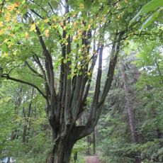
Čeladná is a municipality in the Frýdek-Místek District, situated in rolling terrain with forests and open landscapes in the Moravian-Silesian Region. The settlement sits at roughly 430 meters elevation and spreads across the surrounding hills and valleys.

History

The settlement began in the late 13th century as part of the Trans-Olza region. Over time, it grew from a small village into an administrative hub for the surrounding area.

Culture

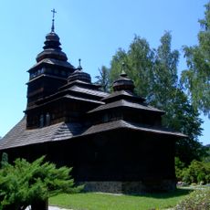
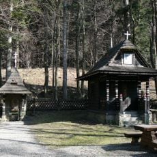
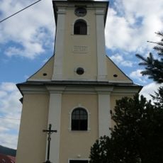
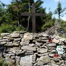
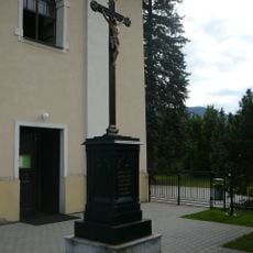
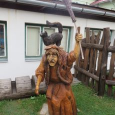
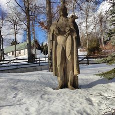
Local traditions shape community life here, visible in celebrations and gatherings that blend regional customs with daily routines. These events offer visitors a window into how people maintain their heritage while living in the present.

Practical

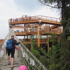
The D48 motorway connects the municipality to nearby areas, making travel in the region straightforward. For exploring on foot, sturdy footwear is useful since the terrain includes varied elevations.

Did you know?

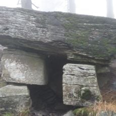
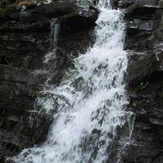
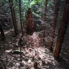
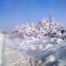
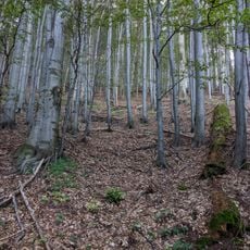
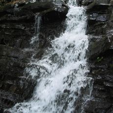
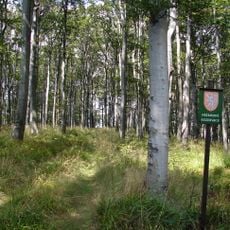
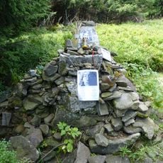
A network of hiking paths crisscrosses the surrounding landscape, linking different elevation zones. These routes let visitors experience the terrain from multiple angles and discover less-traveled areas.

Elevation above the sea
430 m
Shares border with
Staré Hamry, Ostravice, Horní Bečva, Trojanovice, Pstruží, Bílá, Kunčice pod Ondřejníkem, Prostřední Bečva
GPS coordinates
49.54872,18.33762
Latest update
December 8, 2025 13:41

AroundUs brings together thousands of curated places, local tips, and hidden gems, enriched daily by 60,000 contributors worldwide. Discover all places nearby (Frýdek-Místek District).

« Čeladná - Mountain municipality in Frýdek-Místek District, Czech Republic » is provided by Around Us (aroundus.com). Images and texts are derived from Wikimedia project under a Creative Commons license. You are allowed to copy, distribute, and modify copies of this page, under the conditions set by the license, as long as this note is clearly visible.

Discover hidden gems everywhere you go!

From secret cafés to breathtaking viewpoints, skip the crowded tourist spots and find places that match your style. Our app makes it easy with voice search, smart filtering, route optimization, and insider tips from travelers worldwide. Download now for the complete mobile experience.

Around Us App Screenshot

A unique approach to discovering new places

Le Figaro

All the places worth exploring

France Info

A tailor-made excursion in just a few clicks

20 Minutes

Around Us
Travel Guide & Maps
Download

Send to your phone

QR Code
1

Open the camera app on your mobile.

2

Point at the QR code with your camera. A notification will appear.

3

Tap the notification to open the link.