Enable Location

We need your location to show you interesting places around you

Discover nearby places

Find interesting locations and hidden gems around you

Precise directions

Get accurate directions and distances to places

Your location is never shared with other users. It's only used when you tap the location button.

Lysá hora

Log in to your account

Start exploring — it's free

Trusted by 61,684 travelers worldwide

Continue with Google
Continue with Apple
or

We will send you a code to connect

By continuing, you accept our Terms and Conditions and our Privacy Policy

Check your inbox

We've sent a pincode in your inbox. Please enter the code below.

Lysá hora

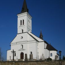
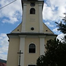
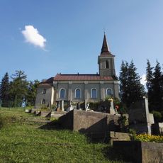
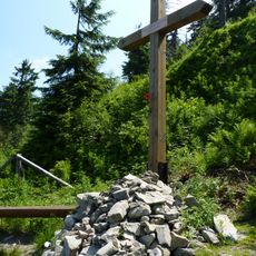
Lysá hora, Memorial site in Moravian-Silesian Region, Czech Republic

Description

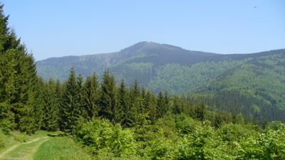
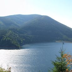
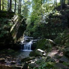
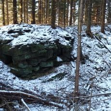
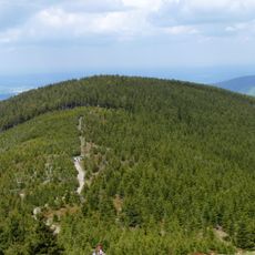
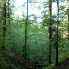
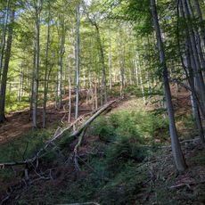
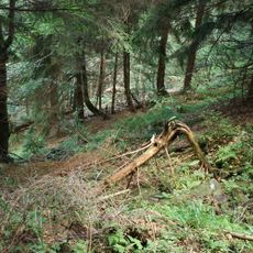
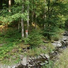
Lysá hora is a summit at 1323 meters altitude in the Moravian-Silesian Region of the Czech Republic, equipped with a television transmitter, mountain rescue station and meteorological observation facilities. The sandstone summit spreads across several small communities and sits within a protected natural area with well-marked hiking routes.

History

The first documented climb took place in the nineteenth century and initiated regular mountaineering activities in the area. Technical facilities were later built on the summit to support communication and weather observation.

Culture

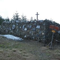
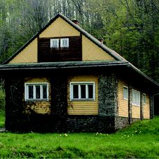
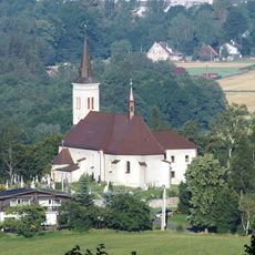
The name means bald mountain and refers to the treeless summit that has been known across the region for centuries. Locals from several villages hike here and use the hut as a meeting point during group outings.

Practical

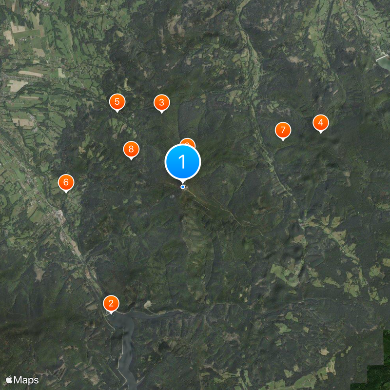
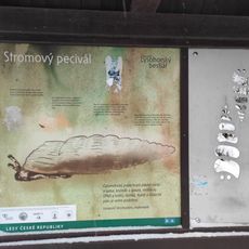
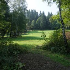
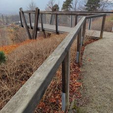
A 16.5-kilometer educational trail with 15 stops and two information boards guides visitors through the natural features of the mountain. The ascent can take several hours depending on the starting point, so hikers should plan to start early and wear sturdy footwear.

Did you know?

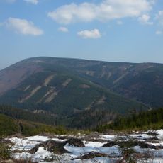
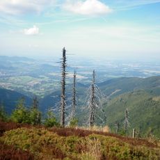
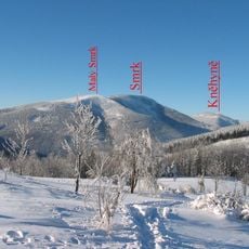
From the top, clear weather reveals views reaching several mountain ranges such as Little Fatra, High Fatra, Martinske Hole, Western Tatras and Gesenke. These panoramas make the summit a popular destination for photographers and nature watchers.

Location
Location
Location
Location
Elevation above the sea
1,324 m
Made from material
sandstone
GPS coordinates
49.54598,18.44727
Latest update
December 20, 2025 14:39

AroundUs brings together thousands of curated places, local tips, and hidden gems, enriched daily by 60,000 contributors worldwide. Discover all places nearby (Krásná).

« Lysá hora - Memorial site in Moravian-Silesian Region, Czech Republic » is provided by Around Us (aroundus.com). Images and texts are derived from Wikimedia project under a Creative Commons license. You are allowed to copy, distribute, and modify copies of this page, under the conditions set by the license, as long as this note is clearly visible.

Discover hidden gems everywhere you go!

From secret cafés to breathtaking viewpoints, skip the crowded tourist spots and find places that match your style. Our app makes it easy with voice search, smart filtering, route optimization, and insider tips from travelers worldwide. Download now for the complete mobile experience.

Around Us App Screenshot

A unique approach to discovering new places

Le Figaro

All the places worth exploring

France Info

A tailor-made excursion in just a few clicks

20 Minutes

Around Us
Travel Guide & Maps
Download

Send to your phone

QR Code
1

Open the camera app on your mobile.

2

Point at the QR code with your camera. A notification will appear.

3

Tap the notification to open the link.