Enable Location

We need your location to show you interesting places around you

Discover nearby places

Find interesting locations and hidden gems around you

Precise directions

Get accurate directions and distances to places

Your location is never shared with other users. It's only used when you tap the location button.

Educational trail Lysohorský bestiář

Log in to your account

Start exploring — it's free

Trusted by 63,616 travelers worldwide

Continue with Google
Continue with Apple
or

We will send you a code to connect

By continuing, you accept our Terms and Conditions and our Privacy Policy

Check your inbox

We've sent a pincode in your inbox. Please enter the code below.

Educational trail Lysohorský bestiář
Discussion Reviews 1 Photos
2.1k Popularity

Educational trail Lysohorský bestiář, Educational trail in Malenovice and Ostravice, Czech Republic.

The Educational trail Lysohorský bestiář is a hiking route with 15 information stations spread across about 17 kilometers of mountain terrain. The route splits into two branches that rejoin at Lukšinec ridge, with both access points reachable from the Na Konečné parking area.

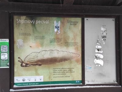
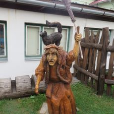
The trail was created after an older route from Shance Dam to the summit was removed in 2007. The new path with metal figures represents a modern interpretation of the wildlife that defines the region.

The metal animal sculptures along the route show creatures from the region and link to local metalworking traditions while teaching about wildlife. These artworks blend with the landscape and invite visitors to think about the animals that inhabit these mountains.

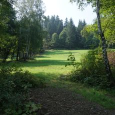
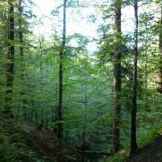
The route starts from parking areas at Na Konečné in Ostravice or Malenovice and leads through forested mountain terrain with well-marked paths. Sturdy shoes are recommended, and the best season for hiking is from May to October when weather is stable.

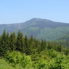
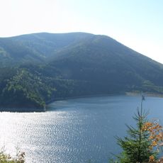
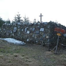
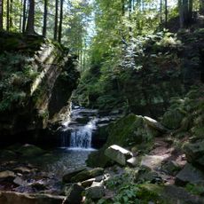
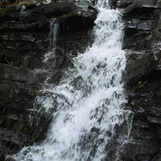
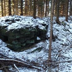
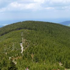
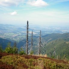
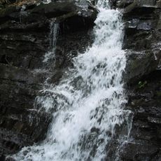
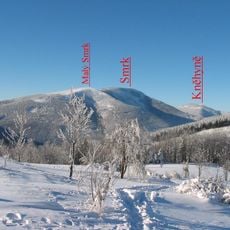
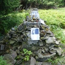
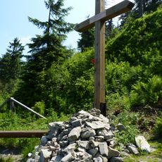
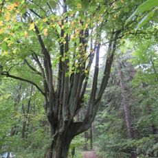
The route passes by natural landmarks such as the Ondrášovy díry rock formations and the Vodopády Satiny waterfalls. Along the way you also reach the highest peak of the Moravian-Silesian Beskids with sweeping views across the entire region.

The community of curious travelers

AroundUs brings together thousands of curated places, local tips, and hidden gems, enriched daily by 60,000 contributors worldwide.

Start exploring
Location
Location
GPS coordinates
49.54459,18.39617
Latest update
December 13, 2025 17:04
Reviews
Share your experience

No review yet

Discussions
Start a discussion...

No discussion yet

« Educational trail Lysohorský bestiář - Educational trail in Malenovice and Ostravice, Czech Republic » is provided by Around Us (aroundus.com). Images and texts are derived from Wikimedia project under a Creative Commons license. You are allowed to copy, distribute, and modify copies of this page, under the conditions set by the license, as long as this note is clearly visible.

Discover hidden gems everywhere you go!

From secret cafés to breathtaking viewpoints, skip the crowded tourist spots and find places that match your style. Our app makes it easy with voice search, smart filtering, route optimization, and insider tips from travelers worldwide. Download now for the complete mobile experience.

Around Us App Screenshot

A unique approach to discovering new places

Le Figaro

All the places worth exploring

France Info

A tailor-made excursion in just a few clicks

20 Minutes

Around Us
Travel Guide & Maps
Download

Send to your phone

QR Code
1

Open the camera app on your mobile.

2

Point at the QR code with your camera. A notification will appear.

3

Tap the notification to open the link.