
Dolní Dvůr, village in Trutnov District of Hradec Králové region
Location: Trutnov District
Location: Врхлаби
Elevation above the sea: 641 m
Shares border with: Lánov, Černý Důl, Strážné, Vrchlabí
Email: starosta.dd@iol.cz
Website: http://dolnidvur.cz
GPS coordinates: 50.65229,15.65568
Latest update: April 20, 2025 22:54
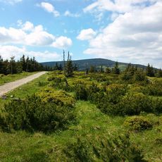
Krkonoše National Park
11.1 km
Hnědý vrch
5.4 km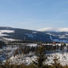
Fuchsberg
5.1 km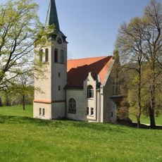
Evangelical church (Strážné)
4.2 km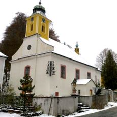
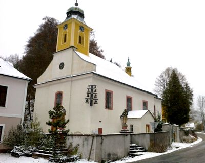
Church of Saint Joseph (Dolní Dvůr)
68 m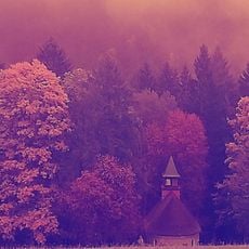
Kostel svatého Josefa
3 km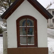
Chapel of Saint Michael (Dolní Dvůr)
29 m
Hotel Pošta
4.3 km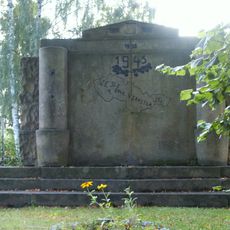
World Wars Memorial in Horní Lánov
2 km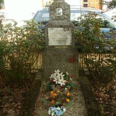
Hrob rudoarmějce
4.3 km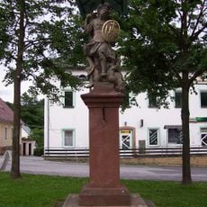
Socha Archanděla Michaela
4.3 km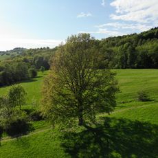
Dub pod Jankovým kopcem
3.2 km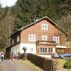
Myslivna
4.1 km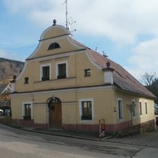
Městský dům
4.3 km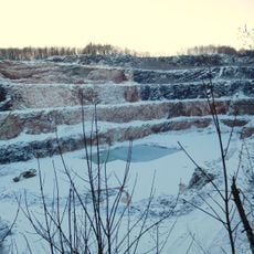
Limestone quarry in Černý Důl
3.9 km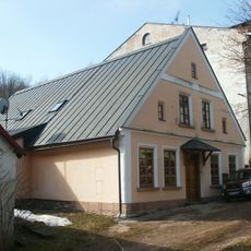
Venkovský dům
4.2 km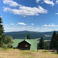
Dům Vlčí Hrana
5.2 km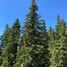
Smrk pod Hrnčířskými Boudami
4.7 km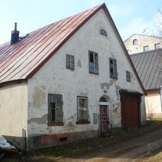
Venkovský dům
4.3 km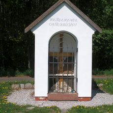
Chapel of the Holy Cross
3.5 km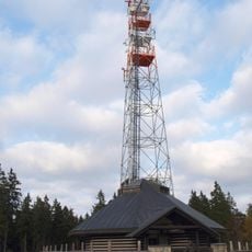
Vysílač na Lučinách v Krkonoších
5.2 km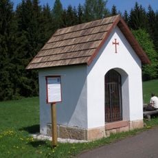
Chapel of Saint Michael
3.4 km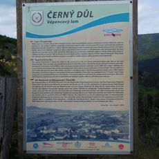
Naučná stezka Okolo lomu
4.3 km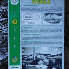
Vápenická stezka
4.2 km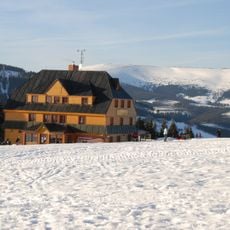
Lidická bouda
5.5 km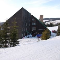
Tetřeví boudy
3.4 km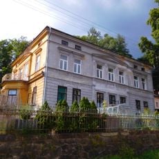
Villa of Josef Menčík
4.2 km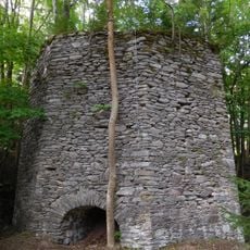
Lime kiln in Černý Důl
4 kmReviews
Visited this place? Tap the stars to rate it and share your experience / photos with the community! Try now! You can cancel it anytime.
Discover hidden gems everywhere you go!
From secret cafés to breathtaking viewpoints, skip the crowded tourist spots and find places that match your style. Our app makes it easy with voice search, smart filtering, route optimization, and insider tips from travelers worldwide. Download now for the complete mobile experience.

A unique approach to discovering new places❞
— Le Figaro
All the places worth exploring❞
— France Info
A tailor-made excursion in just a few clicks❞
— 20 Minutes