
Krajníčko, village in Strakonice District of South Bohemian region
Location: Strakonice District
Location: Водняны
Elevation above the sea: 524 m
Shares border with: Dub, Skály, Měkynec, Budyně, Čepřovice, Bavorov
Email: info@krajnicko.cz
Website: https://krajnicko.cz
GPS coordinates: 49.14763,14.02876
Latest update: March 3, 2025 01:15
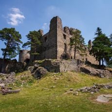
Helfenburk
2 km
Dub Château
4.6 km
Synagogue in Dub
4.5 km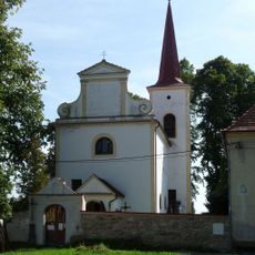
Church of The Mission of the Saint Apostles (Dub)
4.6 km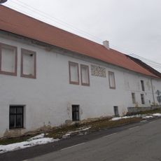
Čepřovice
4.1 km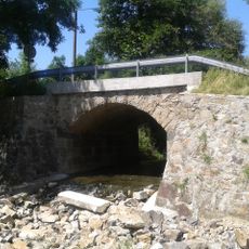
Most silnice III/14125 přes jižní výpust Dubského rybníka
4.4 km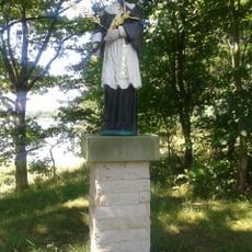
Socha sv. Jana Nepomuckého u Dubského rybníka
4.2 km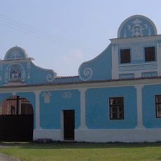
Usedlost čp. 4
3.3 km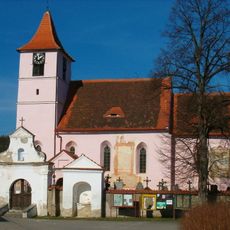
Church of Saint James the Greater
2.6 km
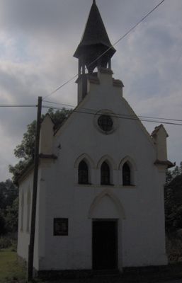
Chapel of Saint Procopius
1.3 km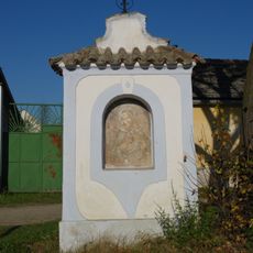
Výklenková kaplička Panny Marie
3.5 km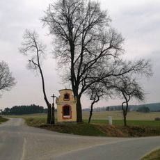
Kaplička
1.4 km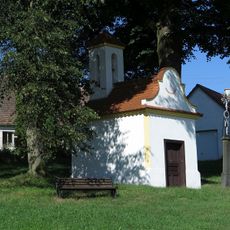
Chapel of Saint John of Nepomuk
2.1 km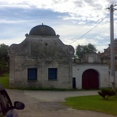
Usedlost čp. 12
3.3 km
Sýpka usedlosti čp. 9 v Javornici
3.5 km
Inundační most silnice III/14125 přes severní výpust Dubského rybníka
4.2 km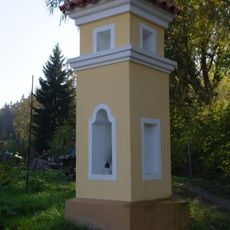
Boží muka
3 km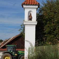
Boží muka
2.7 km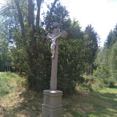
Kříž na rozcestí pod Helfenburgem z r. 1928
1.4 km
Výklenková kaplička
2.8 km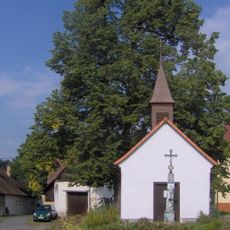
Chapel of Virgin Mary
4.3 km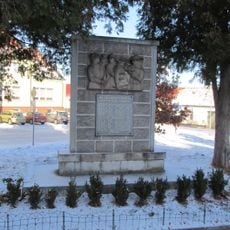
World War I memorial in Dub
4.6 km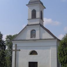
Chapel of Virgin Mary
2.9 km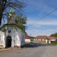
Chapel of Saint Wenceslaus
3.1 km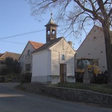
Chapel of Virgin Mary
4.6 km
Most silnice III/14214 přes Černý potok
4.3 km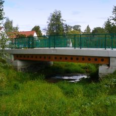
Bridge in Bohunice
4.4 km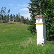
Výklenková kaplička u křižovatky silnic východně od Stříteže
4.5 kmReviews
Visited this place? Tap the stars to rate it and share your experience / photos with the community! Try now! You can cancel it anytime.
Discover hidden gems everywhere you go!
From secret cafés to breathtaking viewpoints, skip the crowded tourist spots and find places that match your style. Our app makes it easy with voice search, smart filtering, route optimization, and insider tips from travelers worldwide. Download now for the complete mobile experience.

A unique approach to discovering new places❞
— Le Figaro
All the places worth exploring❞
— France Info
A tailor-made excursion in just a few clicks❞
— 20 Minutes