
Unín, village in Brno-venkov District of South Moravian region
Location: Тишнов
Location: Brno-Country District
Elevation above the sea: 461 m
Shares border with: Rohozec, Hluboké Dvory, Bukovice, Lubě, Tišnov, Všechovice
Email: info@unin.cz
Website: https://unin.cz
GPS coordinates: 49.38221,16.49138
Latest update: March 4, 2025 16:40
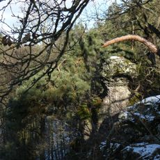
Krkatá bába
2.8 km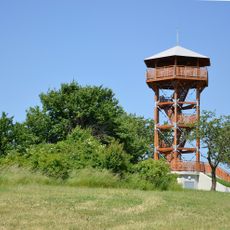
Žernovník
4.4 km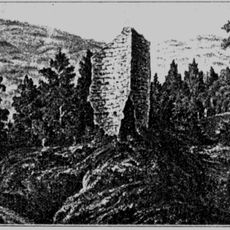
Trmačov
1.7 km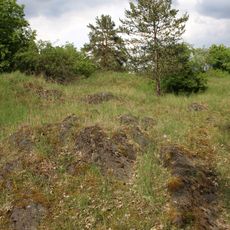
Svídovec
1.7 km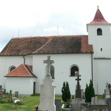
All Saints church
3.8 km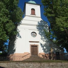
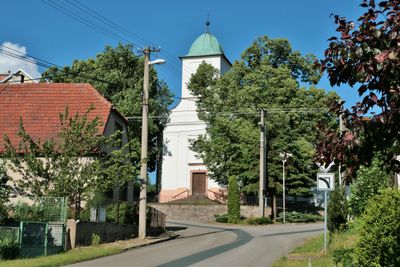
Kostel svatého Petra a Pavla
50 m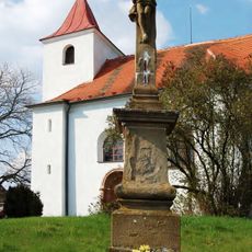
Soubor křížů
3.8 km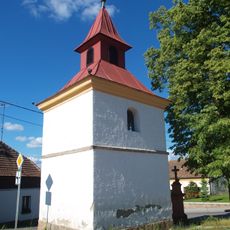
Chapel of the Assumption
1.7 km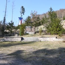
Partisan memorial in Hluboké Dvory
1.4 km
Vrba u Krbu
1.6 km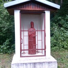
Výklenková kaplička svatého Ambrože
3.6 km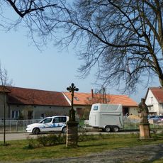
Krucifix a socha svatého Jana Nepomuckého
3.8 km
Chapel of Saint Anne
2.7 km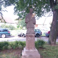
Socha sv. Jana Nepomuckého
3.8 km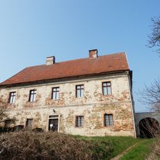
Fara
3.8 km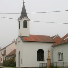
Chapel of the Assumption
4 km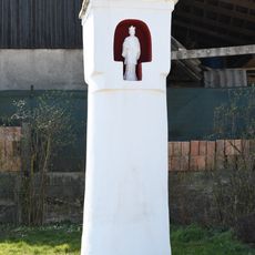
Column shrine in Všechovice
3.2 km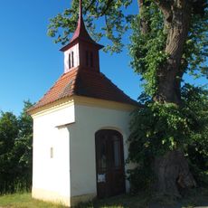
Chapel of Saint Anne
1.5 km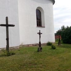
Litinový kříž
3.9 km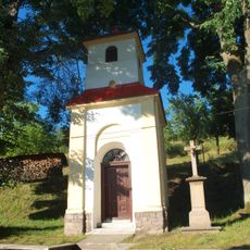
Chapel of the Nativity of the Virgin Mary
2 km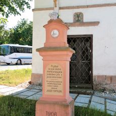
Kříž
1.7 km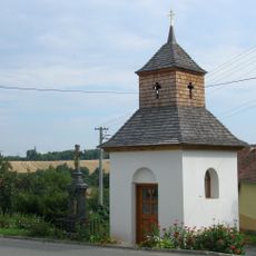
Kříž
2.7 km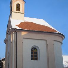
Chapel of Saints Cyril nad Methodius
3.7 km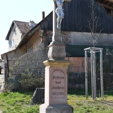
Wayside cross in Všechovice
3.2 km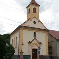
Chapel of Saint Anne
2.8 km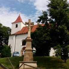
Kamenný kříž
3.9 km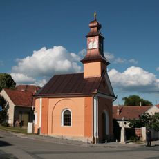
Chapel of Saints Cyril and Methodius in Rohozec
1.1 km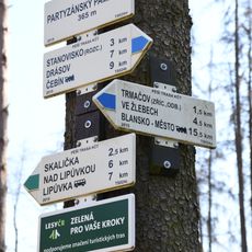
Rozcestník Partyzánský památník
1.4 kmVisited this place? Tap the stars to rate it and share your experience / photos with the community! Try now! You can cancel it anytime.
Discover hidden gems everywhere you go!
From secret cafés to breathtaking viewpoints, skip the crowded tourist spots and find places that match your style. Our app makes it easy with voice search, smart filtering, route optimization, and insider tips from travelers worldwide. Download now for the complete mobile experience.

A unique approach to discovering new places❞
— Le Figaro
All the places worth exploring❞
— France Info
A tailor-made excursion in just a few clicks❞
— 20 Minutes