
Černčice, village in Náchod District of Hradec Králové region
Location: Náchod District
Location: správní obvod obce s rozšířenou působností Nové Město nad Metují
Elevation above the sea: 297 m
Shares border with: Nahořany, Slavětín nad Metují, Vršovka, Bohuslavice, Nové Město nad Metují
Email: oucerncice@seznam.cz
Website: http://cerncice.eu
GPS coordinates: 50.33578,16.10266
Latest update: April 18, 2025 10:19
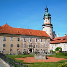
Nové Město nad Metují Castle
3.5 km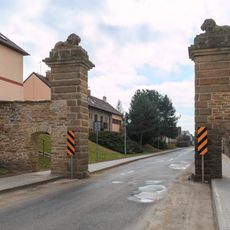
Gate in Nahořany
2.3 km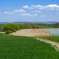
Tuří rybník
4.1 km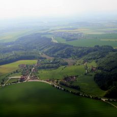
Halín
3.3 km
Budín
2.8 km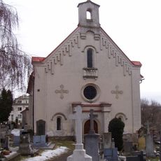
Church of Holy Spirit
2.4 km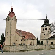
Church of Saint Nicholas
2.8 km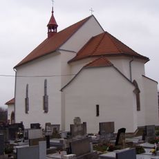
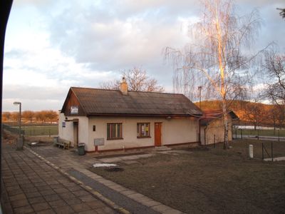
Kostel svatého Jakuba Staršího (Černčice)
381 m
Žižkova lípa (Krčín)
2.5 km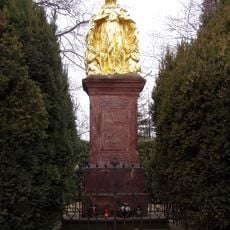
Socha Panny Marie Ochranitelky
2.8 km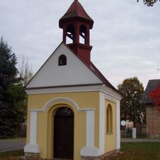
Chapel of Saint Ludmila
3.9 km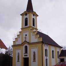
Church of the Holy Family
2.3 km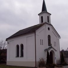
Chapel of the Visitation of Our Lady in Slavětín nad Metují
3.6 km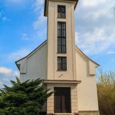
Chapel of Saint John of Nepomuk
3.7 km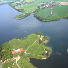
Novoměstská tabule
3.7 km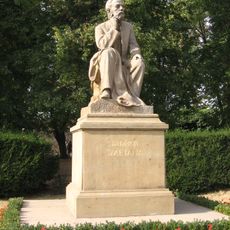
Statue of Bedřich Smetana in Nové Město nad Metují
3.5 km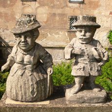
Dwarfs at the entrance of the Castle Nové Město nad Metují
3.5 km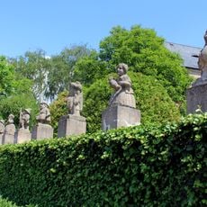
Dwarfs in the Castle park Nové Město nad Metují
3.4 km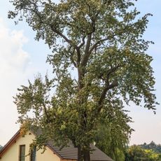
Hrušeň polnička
3.4 km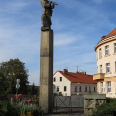
World Wars memorial in Nové Město nad Metují
3.5 km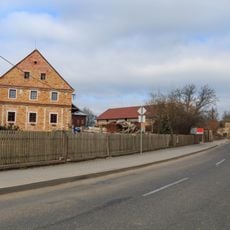
Tvrz čp. 19
2.3 km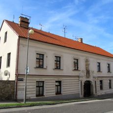
Villarsburgův dům
3.5 km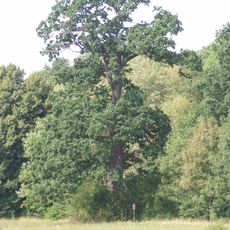
Kavalírův dub
4 km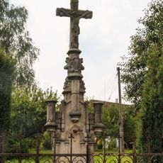
Kříž
3.4 km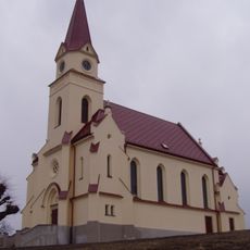
Evangelical church
2.6 km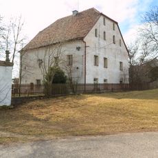
Tvrz čp. 37
2.4 km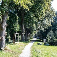
Lipové stromořadí v Krčíně
2.6 km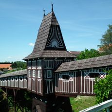
Jurkovičův most
3.4 kmReviews
Visited this place? Tap the stars to rate it and share your experience / photos with the community! Try now! You can cancel it anytime.
Discover hidden gems everywhere you go!
From secret cafés to breathtaking viewpoints, skip the crowded tourist spots and find places that match your style. Our app makes it easy with voice search, smart filtering, route optimization, and insider tips from travelers worldwide. Download now for the complete mobile experience.

A unique approach to discovering new places❞
— Le Figaro
All the places worth exploring❞
— France Info
A tailor-made excursion in just a few clicks❞
— 20 Minutes