
Ludslavice, village in Kroměříž District of Zlín region
Location: Kroměříž District
Location: Голешов
Elevation above the sea: 211 m
Shares border with: Míškovice, Zahnašovice, Hulín, Kurovice, Třebětice
Email: ou@ludslavice.cz
Website: http://ludslavice.cz
GPS coordinates: 49.29952,17.54069
Latest update: April 11, 2025 07:16

Kurovický lom
3.2 km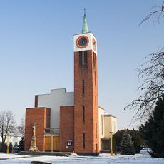
Church of Saint Anthony of Padua in Míškovice
2.7 km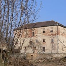
Kurovice Castle
2.1 km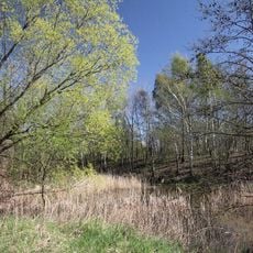
Skalky u Hulína
4.2 km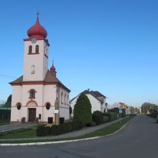
Church of Saint Florian (Pravčice)
4.4 km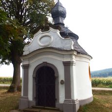
Chapel of Saint John of Nepomuk (Mysločovice)
4.4 km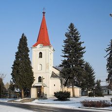
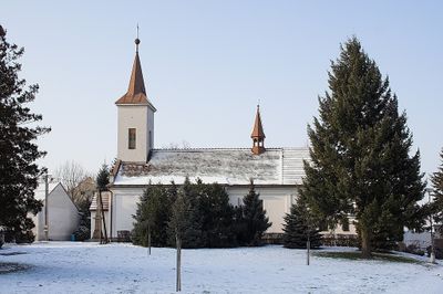
Church of Saint Cunigunde
2.2 km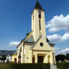
Church of the Visitation of Our Lady
1.6 km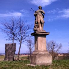
Socha svatého Vendelína
4.4 km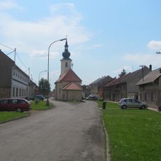
Church of the Assumption
4.2 km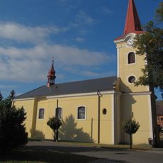
Church of Saint Wendelin
2.7 km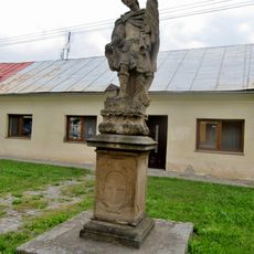
Socha svatého Floriána v ulici Plačkov v Holešově
4.4 km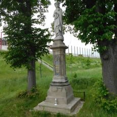
Socha Panny Marie Bolestné v Chrášťanech
3.6 km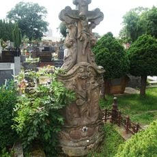
Pomník Jana Tomaštíka
4.1 km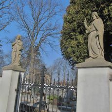
Čtyři sochy na ohradní zdi hřbitova a hrob
4 km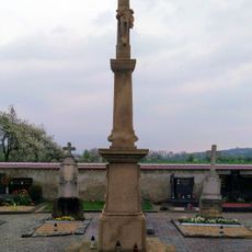
Pamětní kříž
2.4 km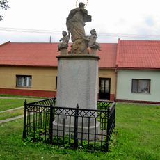
Sochy Panny Marie Immaculaty a svatého Floriána
4.4 km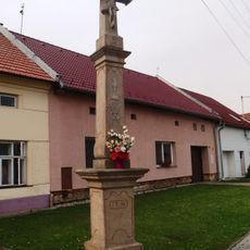
Kříž
4.9 km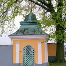
Chapel of Saint Florian
3.3 km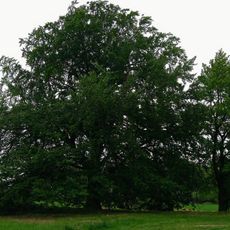
Buk u mlýna
1.3 km
Lípa u Floriána
4.4 km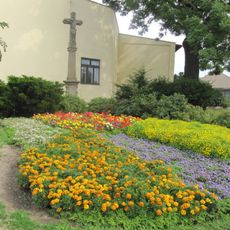
Kříž
4.4 km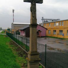
Kříž
4.1 km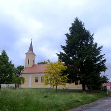
Church of Saint Wenceslaus
237 m
Socha Panny Marie v ulici Plačkov v Holešově
4.4 km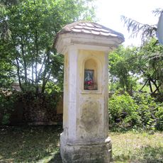
Boží muka
3.5 km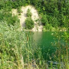
Kurovice - lom
3.2 km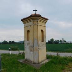
Boží muka v Holešovské ulici v Hulíně
4.9 kmVisited this place? Tap the stars to rate it and share your experience / photos with the community! Try now! You can cancel it anytime.
Discover hidden gems everywhere you go!
From secret cafés to breathtaking viewpoints, skip the crowded tourist spots and find places that match your style. Our app makes it easy with voice search, smart filtering, route optimization, and insider tips from travelers worldwide. Download now for the complete mobile experience.

A unique approach to discovering new places❞
— Le Figaro
All the places worth exploring❞
— France Info
A tailor-made excursion in just a few clicks❞
— 20 Minutes