
Mělčany, village in Brno-venkov District of South Moravian region
Location: Иванчице
Location: Brno-Country District
Elevation above the sea: 230 m
Shares border with: Silůvky, Dolní Kounice, Pravlov, Bratčice, Ořechov, Němčičky
Email: melcany@volny.cz
Website: http://melcany.cz
GPS coordinates: 49.07617,16.49220
Latest update: March 3, 2025 13:38

Rosa Coeli monastery
579 m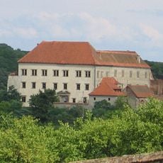
Zámek v Dolních Kounicích
1.8 km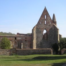
Church of Saint Mary
1.7 km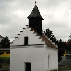
Chapel of Saint John the Baptist
2 km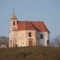
Chapel of Saint Anthony (Dolní Kounice)
1.7 km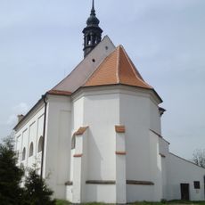
Church of Saint Barbara
1.9 km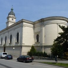
Kostel svatého Petra a Pavla
2 km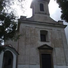
Kreuzweg in Dolní Kounice
1.8 km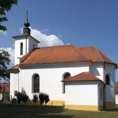
Chapel of the Assumption
64 m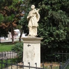
Socha svatého Jana Nepomuckého
2 km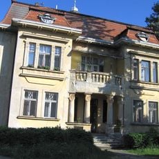
Mlýnské nám. 143/7, Dolní Kounice
1.7 km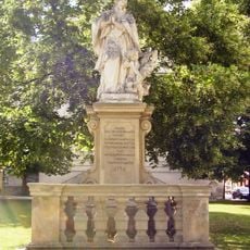
Statue of John of Nepomuk in Dolní Kounice
2 km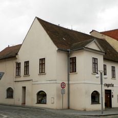
Měšťanský dům
2.1 km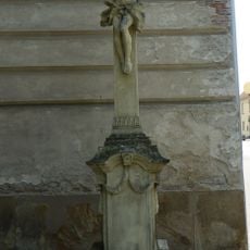
Kamenný kříž
2 km
Měšťanský dům
2.1 km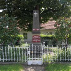
Pomník obětem první světové války
153 m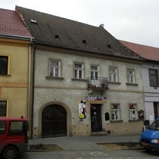
Měšťanský dům
2 km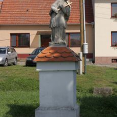
Socha svatého Jana Nepomuckého
161 m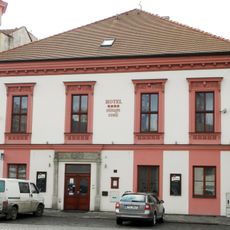
Měšťanský dům
2.1 km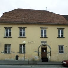
Měšťanský dům
2 km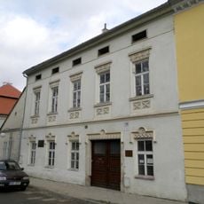
Měšťanský dům
2 km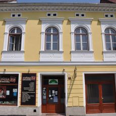
Měšťanský dům
2 km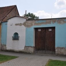
Kaplička v Dolních Kounicích
2 km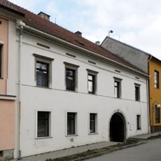
Měšťanský dům
1.9 km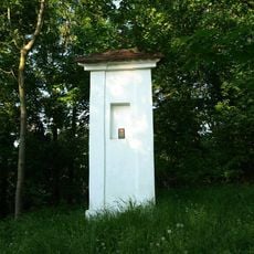
Boží muka u kaple svatého Antonína v Dolních Kounicích
1.7 km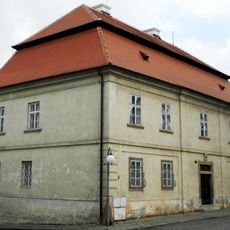
Rectory in Dolní Kounice
2 km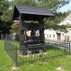
Vinný lis u autobusového nádraží v Dolních Kounicích
2.2 km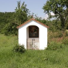
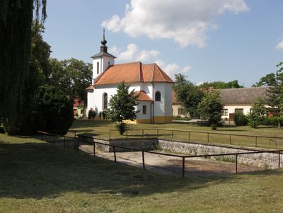
Chapel-shrine in Mělčany
750 mVisited this place? Tap the stars to rate it and share your experience / photos with the community! Try now! You can cancel it anytime.
Discover hidden gems everywhere you go!
From secret cafés to breathtaking viewpoints, skip the crowded tourist spots and find places that match your style. Our app makes it easy with voice search, smart filtering, route optimization, and insider tips from travelers worldwide. Download now for the complete mobile experience.

A unique approach to discovering new places❞
— Le Figaro
All the places worth exploring❞
— France Info
A tailor-made excursion in just a few clicks❞
— 20 Minutes