
Stojice, village in Pardubice District of Pardubice region
Location: Pardubice District
Location: správní obvod obce s rozšířenou působností Přelouč
Elevation above the sea: 305 m
Shares border with: Holotín, Načešice, Svinčany, Svojšice
Email: obec@stojice.cz
Website: http://stojice.cz
GPS coordinates: 49.95641,15.61408
Latest update: March 6, 2025 02:26

Choltice Castle
3.3 km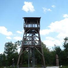
Rozhledna Barborka
1.8 km
Choltická obora
2.8 km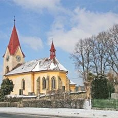
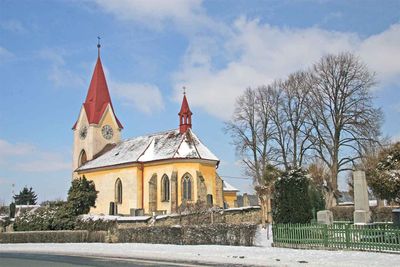
All Saints church
41 m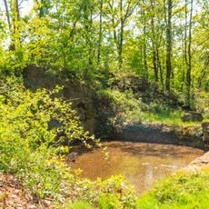
Bezedná
1.6 km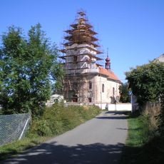
Church of Saint Lawrence
2.9 km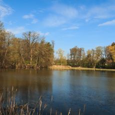
Rybník Moře
2.6 km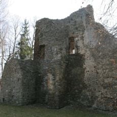
Tvrz Svojšice
1.4 km
Church of the Annunciation of the Virgin Mary (Heřmanův Městec)
3.8 km
Hussite church in Heřmanův Městec
3.7 km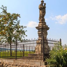
Socha Panny Marie Svatohorské
2.9 km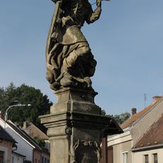
Statue of Saint Lawrence in Heřmanův Městec
3.9 km
Náměstí Míru 179
3.9 km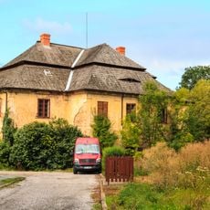
Rectory in Svinčany
3 km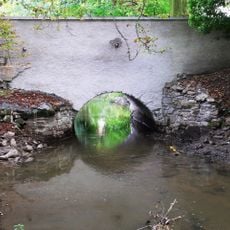
Bridge of road III/34212 over the Struha in Choltice
3.3 km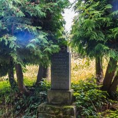
Pomník Františka Nohejla a Františka Kubelky
2.9 km
Boží muka
2.1 km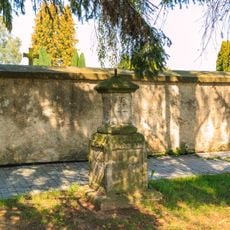
Morový sloup
3.2 km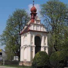
Saint George Chapel
3.3 km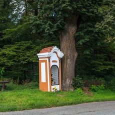
Kaplička svatého Antonína
2.8 km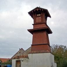
Zvonice v Cholticích
3.4 km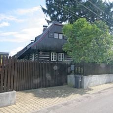
Usedlost čp. 51
2.9 km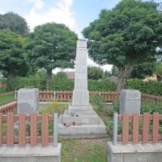
Pomník obětem I. světové války a pomník MUDr. J. Bartoňovi
89 m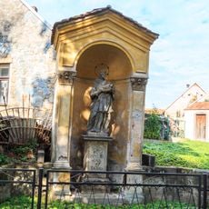
Statue of John of Nepomuk in Choltice
3.4 km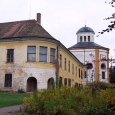
Castle chapel of Saint Romedius in Choltice
3.3 km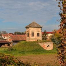
Gloriet
3.4 km
Choltická obora
2.7 km
Evangelická fara v Heřmanově Městci
3.6 kmVisited this place? Tap the stars to rate it and share your experience / photos with the community! Try now! You can cancel it anytime.
Discover hidden gems everywhere you go!
From secret cafés to breathtaking viewpoints, skip the crowded tourist spots and find places that match your style. Our app makes it easy with voice search, smart filtering, route optimization, and insider tips from travelers worldwide. Download now for the complete mobile experience.

A unique approach to discovering new places❞
— Le Figaro
All the places worth exploring❞
— France Info
A tailor-made excursion in just a few clicks❞
— 20 Minutes