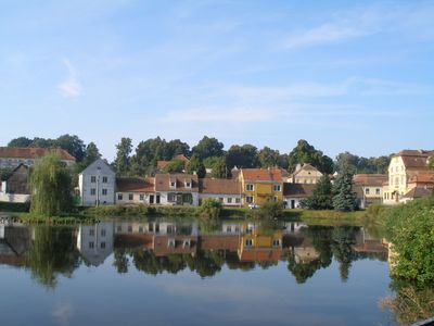
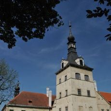
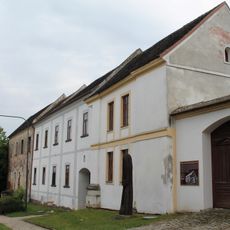
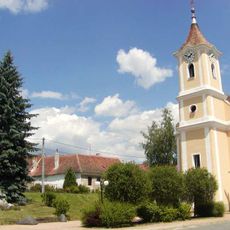
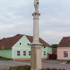
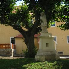
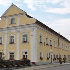
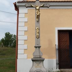
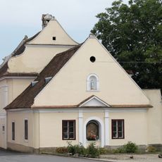
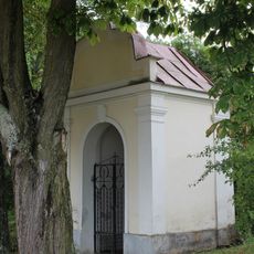
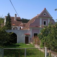
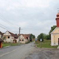
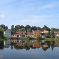
Uherčice, village in Znojmo District of South Moravian region
Location: Znojmo
Location: Znojmo District
Elevation above the sea: 430 m
Shares border with: Korolupy, Podhradí nad Dyjí, Stálky, Dešná, Lubnice, Vratěnín
Email: obec.uhercice@tiscali.cz
Website: http://obec-uhercice.cz
GPS coordinates: 48.91329,15.63038
Latest update: March 9, 2025 14:40
Uherčice Castle
299 m
Augustinian monastery (Vratěnín)
2.6 km
Kostel svatého Vavřince
2.2 km
Kysibl (natural monument)
5.3 km
Church of Saint James the Greater
2.7 km
Church of Saint George
3.2 km
Suché skály
3.4 km
Uherčická louka
840 m
Chapel of the Holy Sepulchre
2.2 km
Church of Nicholas of Tolentino (Vratěnín)
2.6 km
Ortskapelle hl. Veit, Luden
4.9 km
Socha svatého Floriána
3.1 km
Socha svatého Jana Nepomuckého
2.3 km
Usedlost čp. 51
2.7 km
Kaplička
2.6 km
Statue of knight in Vratěnín
2.6 km
Socha svatého Jana Nepomuckého
227 m
Socha svatého Donáta
3.2 km
Post station in Vratěnín
2.8 km
Krucifix
3 km
Boží muka
3.2 km
Column shrine in Vratěnín near the pillbox
1.9 km
Fara
2.7 km
Krucifix
3.2 km
Vratěnín čp. 1
2.6 km
Krucifix
2.7 km
Kaplička
2.8 km
Fara
3 kmVisited this place? Tap the stars to rate it and share your experience / photos with the community! Try now! You can cancel it anytime.
Discover hidden gems everywhere you go!
From secret cafés to breathtaking viewpoints, skip the crowded tourist spots and find places that match your style. Our app makes it easy with voice search, smart filtering, route optimization, and insider tips from travelers worldwide. Download now for the complete mobile experience.
A unique approach to discovering new places❞
— Le Figaro
All the places worth exploring❞
— France Info
A tailor-made excursion in just a few clicks❞
— 20 Minutes