
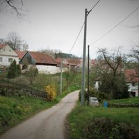
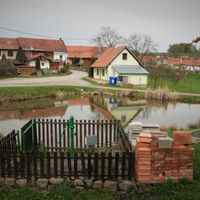
Pernštejnské Jestřabí
Pernštejnské Jestřabí, village in Brno-venkov District of South Moravian region
Location: Тишнов
Location: Brno-Country District
Elevation above the sea: 485 m
Shares border with: Olší, Skryje, Borač, Horní Loučky, Kaly, Doubravník
Email: pern.jestrabi@centrum.cz
Website: http://pernstejnskejestrabi.cz
GPS coordinates: 49.40635,16.32563
Latest update: March 21, 2025 08:19

Chapel of the Virgin Mary of the Rosary
2.7 km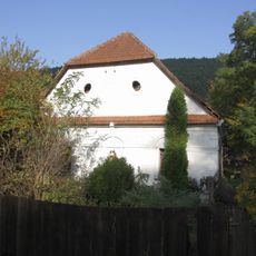
Buchalův vodní mlýn
1.9 km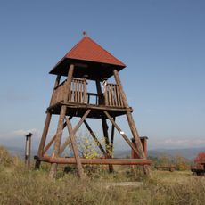
Rozhledna Babylón
3.5 km
Chapel of Saint Mary Magdalene
2.3 km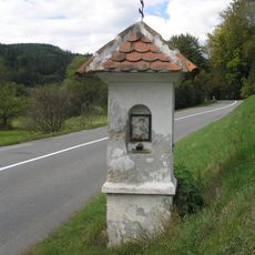
Column shrine in Borač
2.2 km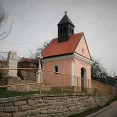
Chapel of Saint Mary Magdalene
3.6 km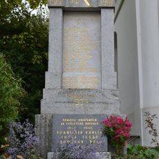
Pomník padlým ve světových válkách
2.7 km
Hospoda
1 km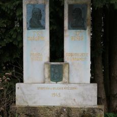
Pomník obětem světových válek
1.8 km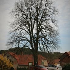
Kalovská lípa
3.6 km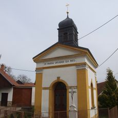
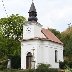
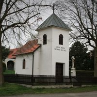
Chapel of the Virgin Mary of the Rosary
54 m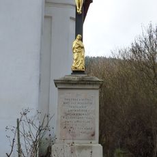
Kříž
2.7 km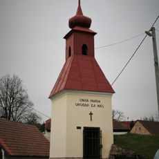
Bell tower in Jilmoví
1.4 km
Lípa (Litava)
1.2 km
Chapel in Klokočí
1.8 km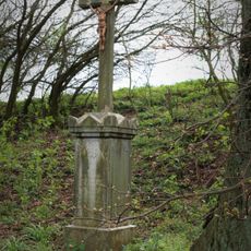
Wayside cross in Klokočí
1.9 km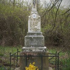
Wayside cross in Jilmoví
1.4 km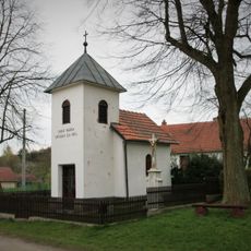
Chapel of Our Lady of Sorrows
1.1 km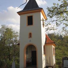
Chapel of Saints Cyril and Methodius
2.1 km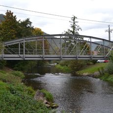
Iron truss arch bridge in Borač
2.9 km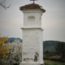
Column shrine in Maňová
1.6 km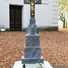
Wayside cross in front of the chapel of Saint Mary Magdalene
2.3 km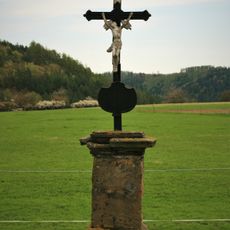
Kříž
3.3 km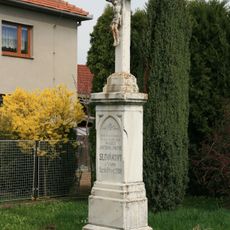
Wayside cross in Kaly
3.8 km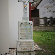
Wayside cross in Klokočí in front of a chapel
1.8 km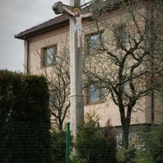
Wayside cross in Kaly
3.6 km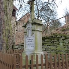
Kříž
3.2 km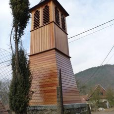
Bell tower in Podolí
3.2 kmVisited this place? Tap the stars to rate it and share your experience / photos with the community! Try now! You can cancel it anytime.
Discover hidden gems everywhere you go!
From secret cafés to breathtaking viewpoints, skip the crowded tourist spots and find places that match your style. Our app makes it easy with voice search, smart filtering, route optimization, and insider tips from travelers worldwide. Download now for the complete mobile experience.

A unique approach to discovering new places❞
— Le Figaro
All the places worth exploring❞
— France Info
A tailor-made excursion in just a few clicks❞
— 20 Minutes