
Stolany, village in Chrudim District of Pardubice region
Location: Chrudim District
Location: Хрудим
Elevation above the sea: 288 m
Shares border with: Mladoňovice, Rabštejnská Lhota, Sobětuchy, Morašice, Lány
Email: urad@stolany.cz
Website: https://stolany.cz
GPS coordinates: 49.92784,15.74517
Latest update: April 7, 2025 17:15
Bára
2.9 km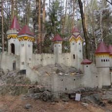
Kočičí hrádek
4.1 km
Rabštejnek Castle
2.6 km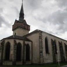
Kostel svaté Kateřiny Alexandrijské (Chrudim)
4.1 km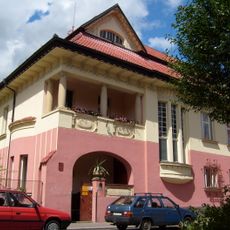
Kotěrova vila
4 km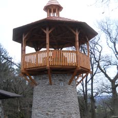
Rozhledna Na Chlumu
4.4 km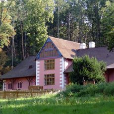
Švýcárna
4.3 km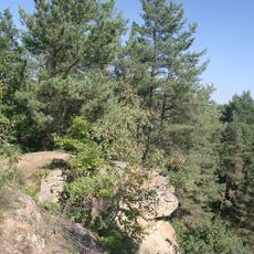
Na skalách
2.3 km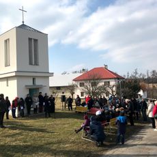
Chapel of Holy Guardian Angels
3.8 km
Church of Saint Vitus (Morašice)
2.6 km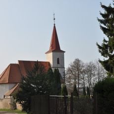
Holy Trinity Church (Sobětuchy)
1.5 km
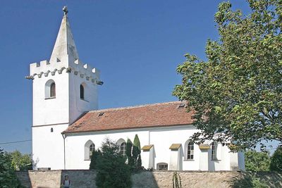
Church of Saint Nicholas (Stolany)
105 m
Statues by the bridge of Havlíčkova street in Chrudim
4.1 km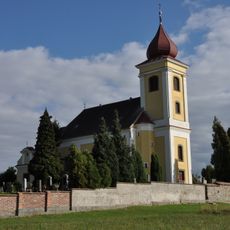
Church of Saint Mark
3.2 km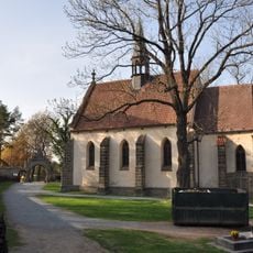
Church of the Exaltation of the Holy Cross
3.7 km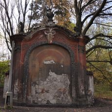
Brány v zahradě Neuperského dvora
4.1 km
Hussite church in Chrudim
4 km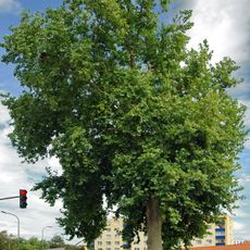
Platan javorolistý (Chrudim)
4 km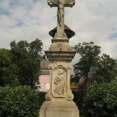
Krucifix
3.5 km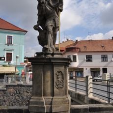
Socha svatého Václava u mostu v Havlíčkově ulici v Chrudimi
4.1 km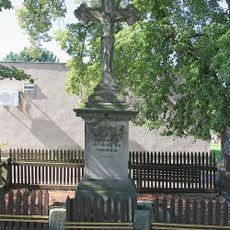
Wayside cross in Rabštejnská Lhota
2.2 km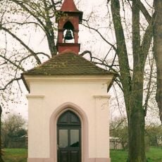
Chapel of Virgin Mary
4.6 km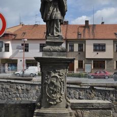
Socha svatého Jana Nepomuckého u mostu v Havlíčkově ulici v Chrudimi
4.1 km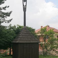
Zvonice
2.2 km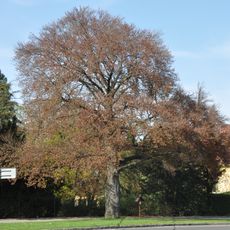
Památný buk lesní červenolistý v zahradě Neuperského dvora
4.1 km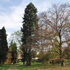
Zahrada Neuperského dvora
4.1 km
Chrudim, bus station
3.8 km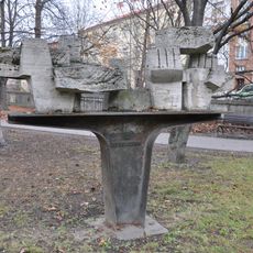
Transport síly
4.1 kmReviews
Visited this place? Tap the stars to rate it and share your experience / photos with the community! Try now! You can cancel it anytime.
Discover hidden gems everywhere you go!
From secret cafés to breathtaking viewpoints, skip the crowded tourist spots and find places that match your style. Our app makes it easy with voice search, smart filtering, route optimization, and insider tips from travelers worldwide. Download now for the complete mobile experience.

A unique approach to discovering new places❞
— Le Figaro
All the places worth exploring❞
— France Info
A tailor-made excursion in just a few clicks❞
— 20 Minutes