Slavičín

Log in to your account

AroundUs is a community-driven map of interesting places, built by curious explorers like you. It grows with every review, story, and photo you share.
Connect to save your favorite spots, contribute locations, and create personalized routes.
Continue with Google
Continue with Apple
Continue with X
Continue with Facebook
Continue with email
By continuing, you accept our Terms and Conditions and our Privacy Policy
Create an account
Add to collection
Map
Suggest a change
Share

Slavičín, Administrative municipality in Zlín District, Czech Republic.

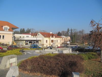
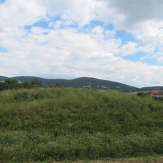
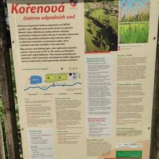
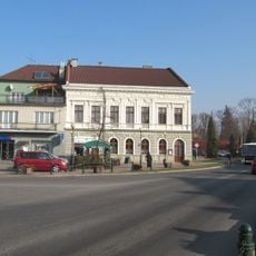
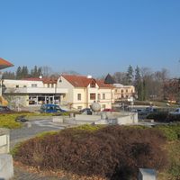
Slavičín is a municipality with town privileges in Zlín District, surrounded by rolling terrain and crisscrossed by small waterways. The settlement combines three village cores into a single administrative unit while maintaining a mixed rural and semi-urban character.

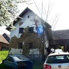
The settlement was first documented in 1141 through a record by a regional church leader. By the early 1900s, it had shifted from purely agricultural work to include crafts and small manufacturing.

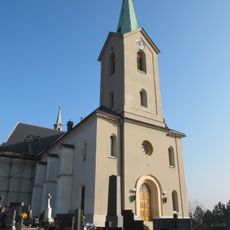
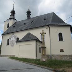
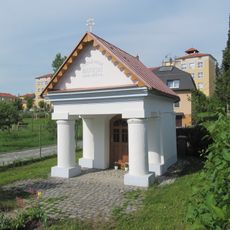
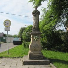
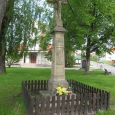
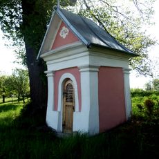
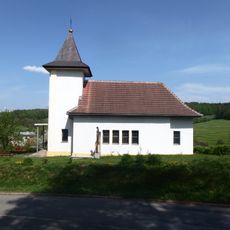
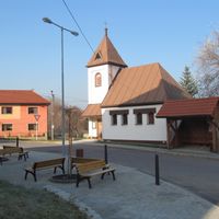
The Church of Saint Adalbert shapes the town center and shows traces of different building periods in its walls. Visitors can see how the mix of architectural styles reflects the layers of local life and development over centuries.

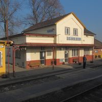
The town is reachable via the Bylnice-Bojkovice railway line, which connects to the broader regional network. Before visiting, check which local services and points of interest are currently open.

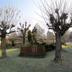
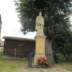
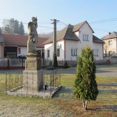
The municipality brings together three villages, one of which takes its name from a local railway line that once passed through the area. This unusual naming shows how transportation shaped local identity.

Location: Zlín District

Location: správní obvod obce s rozšířenou působností Luhačovice

Elevation above the sea: 380 m

Shares border with: Rokytnice, Petrůvka, Jestřabí, Pitín, Hostětín, Dolní Lhota, Vlachovice, Rudimov, Lipová, Luhačovice, Bohuslavice nad Vláří, Sehradice, Šanov

Email: sekretar@mesto-slavicin.cz

Website: https://mesto-slavicin.cz

GPS coordinates: 49.08798,17.87349

Latest update: December 7, 2025 20:45

Photos
Reviews

Visited this place? Tap the stars to rate it and share your experience / photos with the community! Try now! You can cancel it anytime.

« Slavičín - Administrative municipality in Zlín District, Czech Republic » is provided by Around Us (aroundus.com). Images and texts are derived from Wikimedia project under a Creative Commons license. You are allowed to copy, distribute, and modify copies of this page, under the conditions set by the license, as long as this note is clearly visible.

Discover hidden gems everywhere you go!

From secret cafés to breathtaking viewpoints, skip the crowded tourist spots and find places that match your style. Our app makes it easy with voice search, smart filtering, route optimization, and insider tips from travelers worldwide. Download now for the complete mobile experience.

Around Us App Screenshot

A unique approach to discovering new places

Le Figaro

All the places worth exploring

France Info

A tailor-made excursion in just a few clicks

20 Minutes