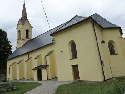
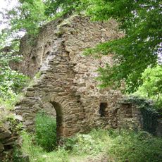
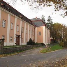
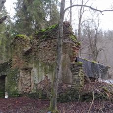
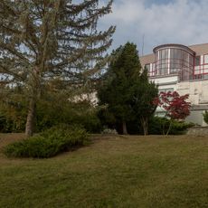
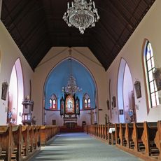
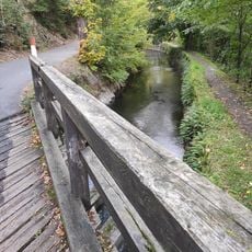
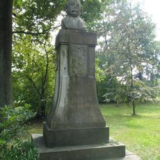
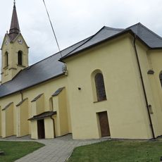
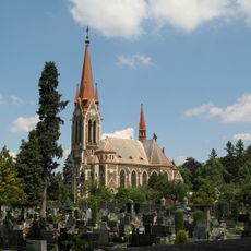
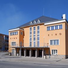
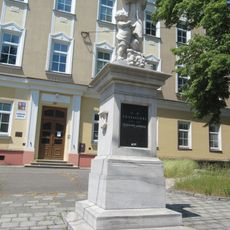
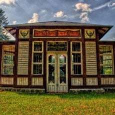
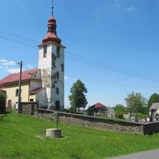
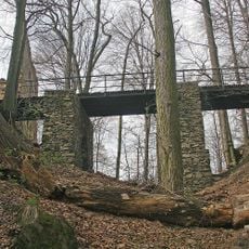
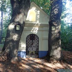
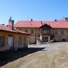
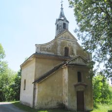
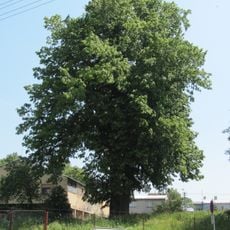
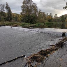
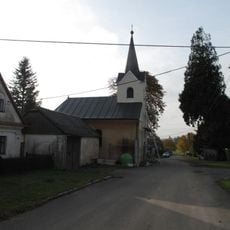
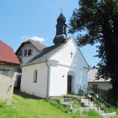
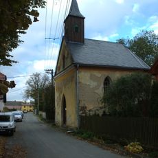
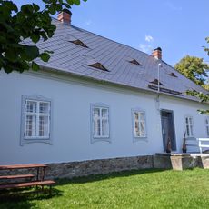
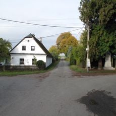
Radkov, village in Opava District of Moravian Silesian region
Location: Opava District
Location: správní obvod obce s rozšířenou působností Vítkov
Elevation above the sea: 473 m
Shares border with: Větřkovice, Březová, Vítkov, Hradec nad Moravicí, Melč
Email: ouradkov@quick.cz
Website: http://obecradkov.cz
GPS coordinates: 49.82553,17.77019
Latest update: March 4, 2025 08:39
Vikštejn Castle
2.3 km
Melč Castle
2.4 km
Hanzlův mlýn
2.5 km
Úpravna vody Podhradí
2.3 km
Church of Saint Anthony of Padua in Melč
2.5 km
3. most přes Papírenský náhon
4.8 km
Památník Eduarda Schöna Engelsberga
5.8 km
Church of the Nativity of the Virgin Mary in Radkov
161 m
Parish church of the Assumption of the Virgin Mary
5.8 km
Kino
5.5 kmPomník J. H. Pestalozziho
5.5 km
Jánské koupele
4.9 km
Church and cemetery in Nové Těchanovice
4.5 km
Entrance bridge of Vikštejn
2.3 km
Chapel of the Fourteen Holy Helpers
4.6 km
Former brewery in Vítkov
5.6 km
Chapel of the Exaltation of the Holy Cross
3.6 km
Lípa ve Vítkově
5.7 km
Weisshuhn Weir
4.5 km
Usedlost čp. 15
4.3 km
Hospodářské objekty zámku Dubová
1.3 km
Castle Dubová
1.2 km
Kaple
4.1 km
Kaple svatého Josefa
4.6 km
Fara
144 m
Usedlost čp. 30
4.3 km
Vítkovská lípa
5.4 km
1. lávka přes Papírenský náhon
4.4 kmReviews
Visited this place? Tap the stars to rate it and share your experience / photos with the community! Try now! You can cancel it anytime.
Discover hidden gems everywhere you go!
From secret cafés to breathtaking viewpoints, skip the crowded tourist spots and find places that match your style. Our app makes it easy with voice search, smart filtering, route optimization, and insider tips from travelers worldwide. Download now for the complete mobile experience.
A unique approach to discovering new places❞
— Le Figaro
All the places worth exploring❞
— France Info
A tailor-made excursion in just a few clicks❞
— 20 Minutes