Chrudim, Summit in the Slavkovský les, Karlovy Vary Region, Czech Republic
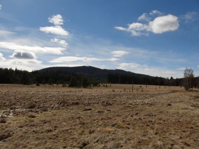
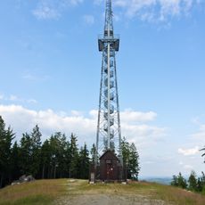
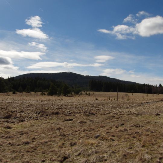
Krudum, also called Chrudim, is a forested summit in the Slavkovský les, 5 km west of Horní Slavkov. It has three peaks: the main summit at 839 m, a southeast peak at 838 m and a southwest peak at 832 m. The main peak carries the Franzosenstein, an old survey stone, and the southeast peak has a 50 m telecommunications tower with a viewing platform.
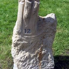
In the Middle Ages a trade route from Eger to Prague crossed the Krudum pass. Silver was mined intensively here in the 12th and 13th centuries, and the church of St. Nicholas, first mentioned in 1253, stood by the road until the early 16th century. In 1808 surveyors of Emperor Francis II set a trigonometric point on the western summit, inscribed Reg Imp Fr pmo 1808 and later called the Franzosenstein.
The name Krudum is Celtic in origin and appears in old records as Crutum, Krutum or Gruthum. In 1947 new settlers renamed the mountain Chrudim, believing the name Germanic; the official name Krudum was restored on 1 January 2009 after the town of Horní Slavkov applied for the change.
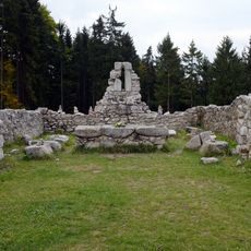
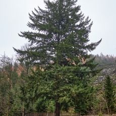
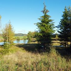
The summit lies about 6 km west of Horní Slavkov, just outside the Slavkovský les protected area; the main peak reaches 839 m and the southeast peak 838 m. A 50 m steel telecommunications tower with a viewing platform at 30 m stands by the southeast peak, near the rubble of the Kempfova věž. The peaks are covered with spruce forest.
The main summit at 839 m carries the Franzosenstein, a survey point set in 1808 under Emperor Franz II; its inscription "Reg Imp Fr pmo 1808" later earned it the folk name French Stone. In 2002 someone briefly mounted a wrought-iron cross on it, mistaking the marker for a wayside shrine pedestal.
The community of curious travelers
AroundUs brings together thousands of curated places, local tips, and hidden gems, enriched daily by 94,021 contributors worldwide.