
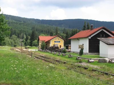
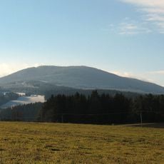
Kubova Huť, village in Prachatice District of South Bohemian region
Location: Prachatice District
Location: administrative district of the municipality with expanded powers Vimperk
Elevation above the sea: 960 m
Shares border with: Horní Vltavice, Vimperk
Email: kubova.hut@worldonline.cz
Website: http://kubova-hut.cz
GPS coordinates: 48.98332,13.77183
Latest update: March 3, 2025 05:27
Kubany
3.5 km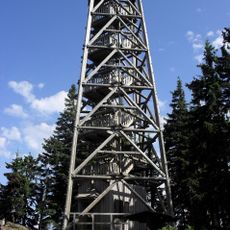
Rozhledna Boubín
3.5 km
Boubínské jezírko
3.6 km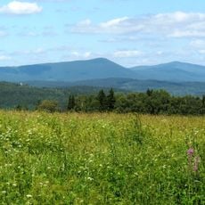
Milešický prales
4.8 km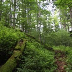
Jilmová skála
3.8 km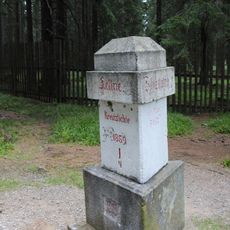
Křížový smrk
4.1 km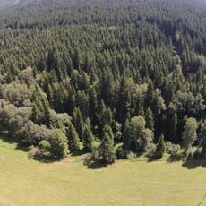
Pod Ostrohem
1.4 km
Boubínský zámeček
3.6 km
Gold placer claim in Lipka
4.7 km
Idina Pila
4.6 km
Pravětínská Lada
5.6 km
Hornovltavické pastviny
665 m
Zátoňská hora
6.1 km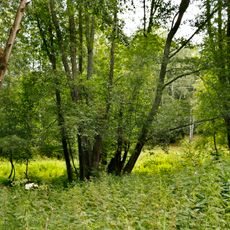
Mokrý luh
3.4 km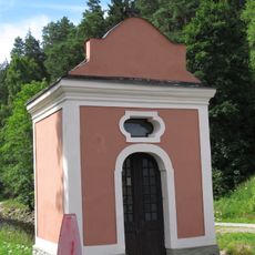
Chapel of Saint John of Nepomuk
3.4 km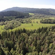
Zátoňská mokřina
3.5 km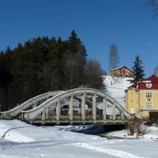
Bridge over the Teplá Vltava in Horní Vltavice
3.4 km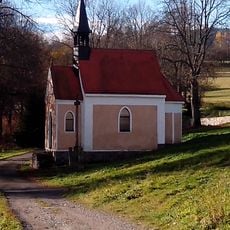
Chapel of Saint Anne (Stará Lipka)
5.4 km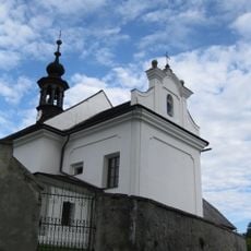
Church of the Holy Family and Saint John of Nepomuk
3.2 km
Alej Horní Vltavice
2.7 km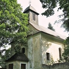
Church of the Finding of the True Cross
3.6 km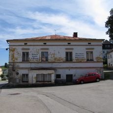
Zájezdní hospoda
3.1 km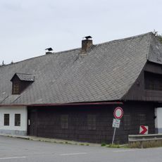
Usedlost čp. 27
3.5 km
Zátoňský klen
4.6 km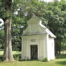
Chapel of Holy Trinity in Korkusova Huť
3.5 km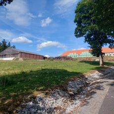
Račí dvůr (Anenský Dvůr)
4.3 km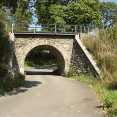
Železniční most přes silnici III1673 v Lipce
5 km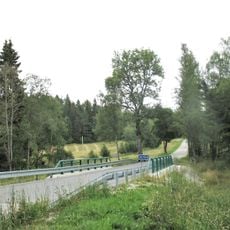
Most silnice III/1673 přes Volyňku v Lipce
5 kmVisited this place? Tap the stars to rate it and share your experience / photos with the community! Try now! You can cancel it anytime.
Discover hidden gems everywhere you go!
From secret cafés to breathtaking viewpoints, skip the crowded tourist spots and find places that match your style. Our app makes it easy with voice search, smart filtering, route optimization, and insider tips from travelers worldwide. Download now for the complete mobile experience.

A unique approach to discovering new places❞
— Le Figaro
All the places worth exploring❞
— France Info
A tailor-made excursion in just a few clicks❞
— 20 Minutes