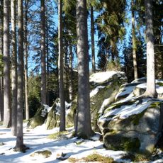
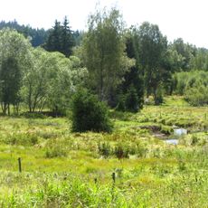
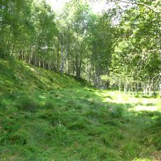
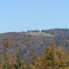
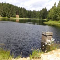
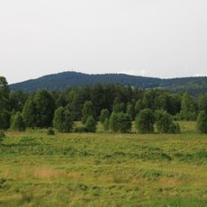
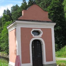
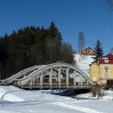
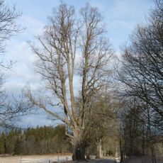
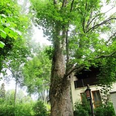
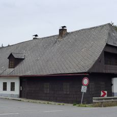
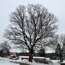
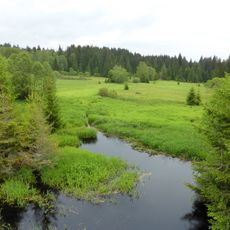
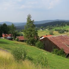
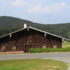
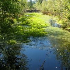
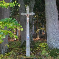
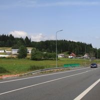
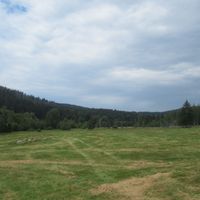
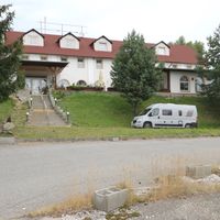
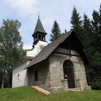
Strážný, market town in South Bohemian, Czech Republic
Location: Prachatice District
Location: administrative district of the municipality with expanded powers Vimperk
Elevation above the sea: 834 m
Shares border with: Borová Lada, Horní Vltavice, Stožec, Lenora, Haidmühle, Philippsreut, Mauther Forst
Email: ou.strazny@quick.cz
Website: http://strazny.cz
GPS coordinates: 48.90892,13.72029
Latest update: March 13, 2025 02:18
Šumava National Park
24.2 km
Kunžvart
1.6 km
Schneekirche
5.6 km
Ženijní můstek
2.8 km
Hráz rybníka Kunžvartu
1.6 km
Almberg
6.1 km
Grandelberg
6.3 km
Žďárské jezírko
5.8 km
Polecká nádrž
5.2 km
Hliniště
1.8 km
Chapel of Saint John of Nepomuk
5.7 km
Strážný-Pod Obecním lesem
2 km
Bridge over the Teplá Vltava in Horní Vltavice
5.7 km
St. Karl Borromäus
5.8 km
Chapel of Saint Mary of Help
458 m
Radvanovická lípa
4.3 km
Javor klen
838 m
Usedlost čp. 27
5.7 km
Tis červený
7.4 km
Klen ve Strážném
59 m
Zwicklfilz
3.4 km
Jasan ztepilý
162 m
Račí dvůr (Anenský Dvůr)
5.2 km
Bauernhaus
5.3 km
Zwicklfilz
3.4 km
Zugehöriges Waldlerhaus
6 km
Moore bei Finsterau und Philippsreuth
6.2 km
Kříž v bývalé osadě Žlíbky
2.4 kmReviews
Visited this place? Tap the stars to rate it and share your experience / photos with the community! Try now! You can cancel it anytime.
Discover hidden gems everywhere you go!
From secret cafés to breathtaking viewpoints, skip the crowded tourist spots and find places that match your style. Our app makes it easy with voice search, smart filtering, route optimization, and insider tips from travelers worldwide. Download now for the complete mobile experience.
A unique approach to discovering new places❞
— Le Figaro
All the places worth exploring❞
— France Info
A tailor-made excursion in just a few clicks❞
— 20 Minutes