Enable Location

We need your location to show you interesting places around you

Discover nearby places

Find interesting locations and hidden gems around you

Precise directions

Get accurate directions and distances to places

Your location is never shared with other users. It's only used when you tap the location button.

Hráz rybníka Kunžvartu

Log in to your account

Start exploring — it's free

Trusted by 63,114 travelers worldwide

Continue with Google
Continue with Apple
or

We will send you a code to connect

By continuing, you accept our Terms and Conditions and our Privacy Policy

Check your inbox

We've sent a pincode in your inbox. Please enter the code below.

Hráz rybníka Kunžvartu
Discussion Reviews 1 Photos
1.5k Popularity

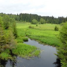
Hráz rybníka Kunžvartu, Medieval dam in Hliniště, Czech Republic

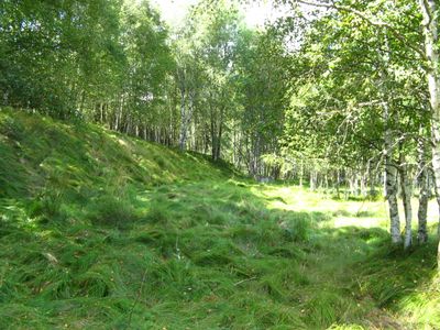
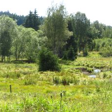
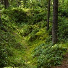
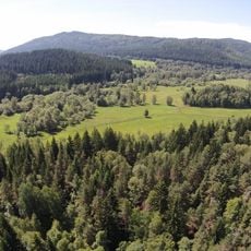
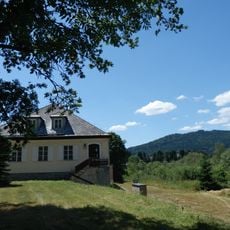
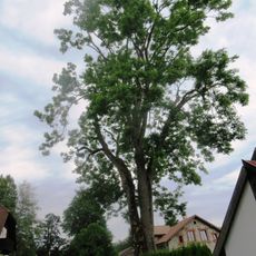
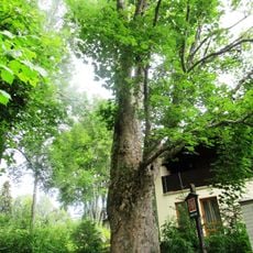
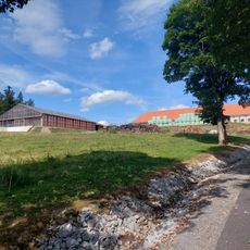
The Kunžvart Pond dam is a water structure built across the Řasnice River valley at about 800 meters above sea level. The site features rows of trees, a gate house, and a long earthwork extending across the valley floor.

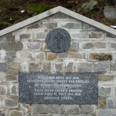
Nobleman Petr Malovec had the dam built between 1543 and 1547, but it collapsed in 1587. The structure visible today represents what remained after that failure and later repairs.

The dam has been recognized as a Czech cultural monument since 1963 and represents early engineering efforts in this region. It shows how people once used flowing water to maintain fish ponds as an important food source.

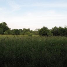
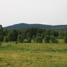
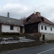
The site can be accessed via a marked green hiking trail starting from the Pod Lískovým vrchem intersection and leading to Brixův dvůr. The path through the valley provides straightforward access to the entire dam structure.

Nesting boxes installed along the dam provide homes for various bird species and allow visitors to observe wildlife in their natural habitat. This feature turns the site into a spot for observing nature.

The community of curious travelers

AroundUs brings together thousands of curated places, local tips, and hidden gems, enriched daily by 60,000 contributors worldwide.

Start exploring
Location
GPS coordinates
48.90302,13.74047
Latest update
December 14, 2025 14:42
Reviews
Share your experience

No review yet

Discussions
Start a discussion...

No discussion yet

« Hráz rybníka Kunžvartu - Medieval dam in Hliniště, Czech Republic » is provided by Around Us (aroundus.com). Images and texts are derived from Wikimedia project under a Creative Commons license. You are allowed to copy, distribute, and modify copies of this page, under the conditions set by the license, as long as this note is clearly visible.

Discover hidden gems everywhere you go!

From secret cafés to breathtaking viewpoints, skip the crowded tourist spots and find places that match your style. Our app makes it easy with voice search, smart filtering, route optimization, and insider tips from travelers worldwide. Download now for the complete mobile experience.

Around Us App Screenshot

A unique approach to discovering new places

Le Figaro

All the places worth exploring

France Info

A tailor-made excursion in just a few clicks

20 Minutes

Around Us
Travel Guide & Maps
Download

Send to your phone

QR Code
1

Open the camera app on your mobile.

2

Point at the QR code with your camera. A notification will appear.

3

Tap the notification to open the link.