
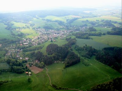
Dolní Radechová, village in Náchod District of Hradec Králové region
Location: Náchod District
Location: správní obvod obce s rozšířenou působností Náchod
Elevation above the sea: 359 m
Shares border with: Zábrodí, Kramolna, Horní Radechová, Náchod
Email: obec.dolrad@seznam.cz
Website: http://dolniradechova.cz
GPS coordinates: 50.43837,16.15132
Latest update: March 5, 2025 07:27
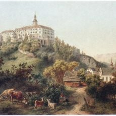
Náchod Castle
2.3 km
Pranýř
2.5 km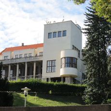
Bartoňova vila
2.5 km
Hotel U Beránka
2.5 km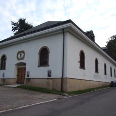
Gallery of Fine Arts in Náchod
2.2 km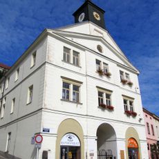
Old town hall in Náchod
2.5 km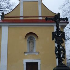
Chapel of the Annunciation
2.2 km
Komenského lípa (Babí)
1.8 km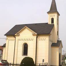
Chapel of Saint John of Nepomuk
1.7 km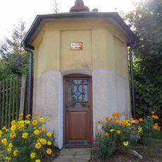
Chapel of Saint Mary
2.5 km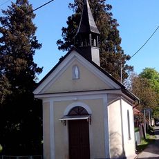
Chapel of the Holy Name of Virgin Mary
2.1 km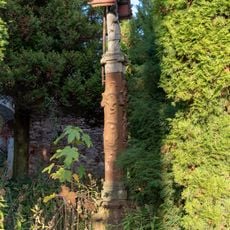
Statue in Horní Rybníky
2.1 km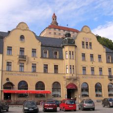
Městské divadlo Dr. Josefa Čížka Náchod
2.5 km
Masarykovo náměstí 18
2.5 km
Hrašeho 11
2.5 km
Piccolomini garden at Náchod castle
2.2 km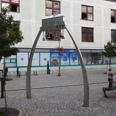
Náchod carillon
2.5 km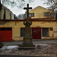
Krucifix
2.3 km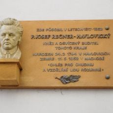
Josef Regner memorial plaque
2.5 km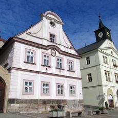
Děkanství Náchod
2.5 km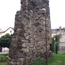
City walls of Náchod
2.4 km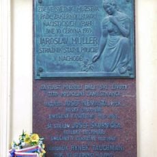
WWII victims memorial plaque
2.5 km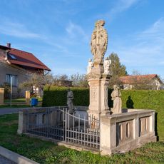
Statue of the Holy Trinity in Horní Rybníky
2 km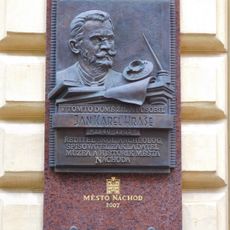
Jan Karel Hraše memorial plaque
2.5 km
Antonín Strnad memorial plaque
2.5 km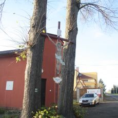
Dřevěný kříž v Horních Rybníkách
2.1 km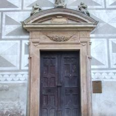
Chapel of the Assumption at Náchod Castle
2.3 km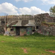
N-S 88 Transformátor casemate
2.3 kmReviews
Visited this place? Tap the stars to rate it and share your experience / photos with the community! Try now! You can cancel it anytime.
Discover hidden gems everywhere you go!
From secret cafés to breathtaking viewpoints, skip the crowded tourist spots and find places that match your style. Our app makes it easy with voice search, smart filtering, route optimization, and insider tips from travelers worldwide. Download now for the complete mobile experience.

A unique approach to discovering new places❞
— Le Figaro
All the places worth exploring❞
— France Info
A tailor-made excursion in just a few clicks❞
— 20 Minutes