
Radovesnice I, village in Kolín District of Central Bohemian region
Location: Kolín District
Location: administrative district Kolín
Elevation above the sea: 264 m
Shares border with: Kolín, Křečhoř, Lošany, Kbel
Email: podatelna@radovesnice.cz
Website: http://radovesnice.cz
GPS coordinates: 50.01045,15.15097
Latest update: April 1, 2025 17:03

Memorial of the Three Resistances
2.4 km
Kolín – letiště
1.9 km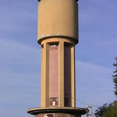
Kolin water tower
2.9 km
Kostel svatého Václava
3.6 km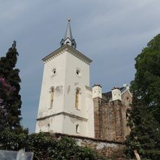
Church of Saint Martin
1.2 km
Church of the Corpus Christi
2.7 km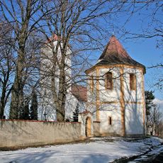
Church of the Assumption
2.6 km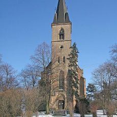
Church of Saint George
2.2 km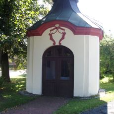
Chapel of Saint John of Nepomuk (Lošánky)
2.8 km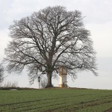
Lípa u Pašinky
2.6 km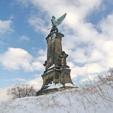
Pomník bitvy u Kolína
2.9 km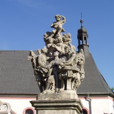
Statue of John of Nepomuk in Ratboř
3.6 km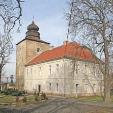
Pašinka
2.9 km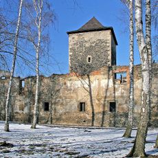
Tvrz Lošany
2.3 km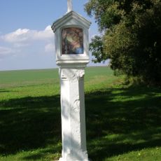
Boží muka
2.6 km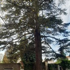
Cedr v Ratboři
3.6 km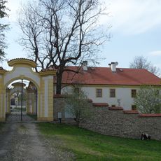
Radovesnice Castle
265 m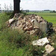
Boží muka
1.7 km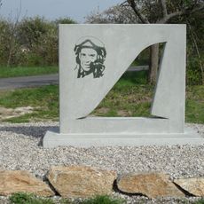
Pomník leteckého neštěstí - Ondřej Sovina
645 m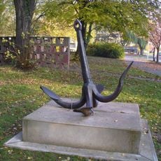
Kovová plastika Kotva v Bezručově ulici v Kolíně
3.3 km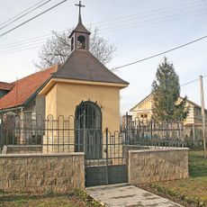
Chapel of Saint John of Nepomuk
3 km
Kolín - letiště
1.9 km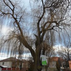
Vrba bílá v Křečhoři
2.3 km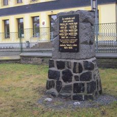
Pomník padlým ve středu obce Ratboř
3.7 km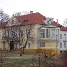
Starý zámek Ratboř
3.7 km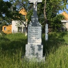
Kříž v západní části Kolína v zahrádce u vodárny
2.7 km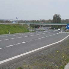
Most silnice I/38 přes silnici I/12 u Kolína
2.8 km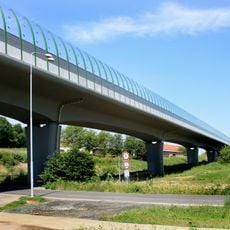
Estakáda silnice I/38 přes Štítarské údolí
2.1 kmReviews
Visited this place? Tap the stars to rate it and share your experience / photos with the community! Try now! You can cancel it anytime.
Discover hidden gems everywhere you go!
From secret cafés to breathtaking viewpoints, skip the crowded tourist spots and find places that match your style. Our app makes it easy with voice search, smart filtering, route optimization, and insider tips from travelers worldwide. Download now for the complete mobile experience.

A unique approach to discovering new places❞
— Le Figaro
All the places worth exploring❞
— France Info
A tailor-made excursion in just a few clicks❞
— 20 Minutes