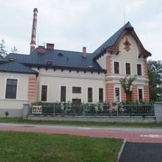
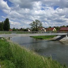
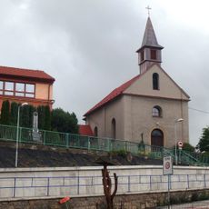
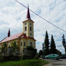
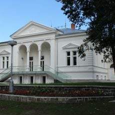
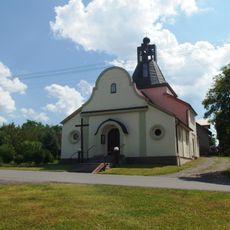
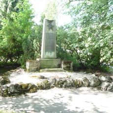
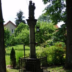
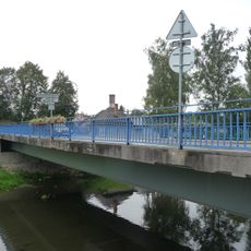
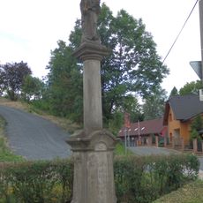
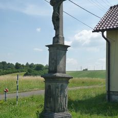
Lubina, part of Kopřivnice
Location: Kopřivnice
Inception: December 21, 1958
Elevation above the sea: 297 m
GPS coordinates: 49.61670,18.16670
Latest update: April 6, 2025 12:27
Tatra Truck Museum
2.8 km
Muzeum Fojtství
2.5 km
Šustalova vila
2.7 km
Bönischova vila
2 km
Footbridge in Příbor
2.9 km
Chapel of St. Mary Magdalene
2.8 km
Platan Emila Hanzelky
2.7 km
Chapel
2.3 km
Chapel
2.8 km
Sculpture in front of the elementary school
2.8 km
Memorial in Orinoco, Příbor
1.7 km
Kostel svatého Václava s farou
563 m
Ringhoffer's vila
2.6 km
Chapel of the Assumption
2.7 km
World War II Memorial, Příbor, Nábřeží Rudoarmějců
2.9 km
Crucifix
2.8 km
Sloup se sochou Panny Marie s Ježíškem
1.1 km
Bridge over the Lubina near railway station in Příbor
2.8 km
Sloup se sochou Panny Marie s dítětem
2.9 km
Wayside cross
2.3 km
Wooden wayside cross
2.8 km
Column shrine near Orinoco
1.8 km
Chapel
2.7 km
Wayside cross in Příbor, Frenštátská
1.5 km
Depozitář Slovenské strely
2.8 km
Hájovský dvůr
1.6 km
Wayside cross in Příbor, Vrchlického
2.7 km
Nábřeží Rudoarmějců
2.8 kmReviews
Visited this place? Tap the stars to rate it and share your experience / photos with the community! Try now! You can cancel it anytime.
Discover hidden gems everywhere you go!
From secret cafés to breathtaking viewpoints, skip the crowded tourist spots and find places that match your style. Our app makes it easy with voice search, smart filtering, route optimization, and insider tips from travelers worldwide. Download now for the complete mobile experience.
A unique approach to discovering new places❞
— Le Figaro
All the places worth exploring❞
— France Info
A tailor-made excursion in just a few clicks❞
— 20 Minutes