
Rybníky u Vitmanova, protected area in Czech Republic
Location: Třeboň
Inception: January 1, 1995
GPS coordinates: 49.02360,14.84030
Latest update: April 6, 2025 03:50
Landschaftsschutzpark Wittingauer Becken
3.5 km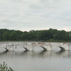
Inundation bridge over the Vítek pond
2.7 km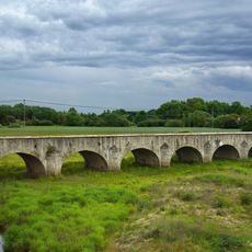
Inundation bridge over the Lužnice in Stará Hlína
2.4 km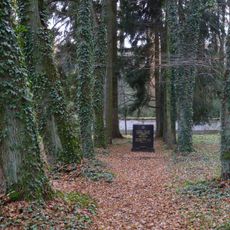
Jewish cemetery in Třeboň
3.5 km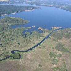
Výtopa Rožmberka
3.7 km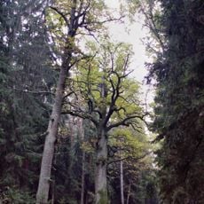
Dub Emy Destinové
1.9 km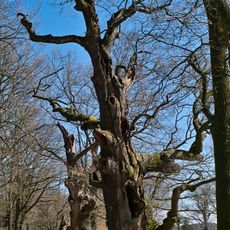
Tři bratři
1.1 km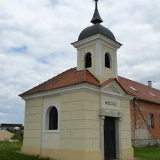
Kaple svatého Václava a Panny Marie (Stará Hlína)
2.6 km
Pomník Emy Destinové
1.9 km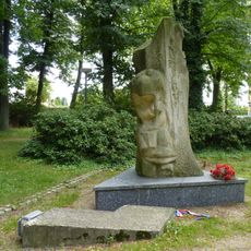
Monument to 1945 liberation in Holičky
4.1 km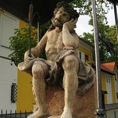
Odpočívající Kristus
4.1 km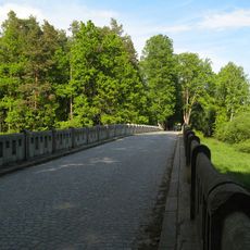
Stříbřecký most
1.8 km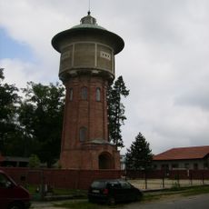
Water tower in Třeboň
4.1 km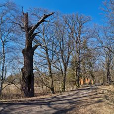
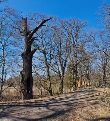
Dub u Nového Vdovce
930 m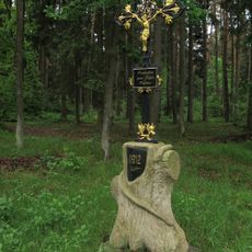
Hadí křížek
3.6 km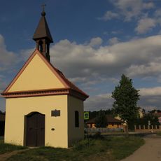
Chapel of Saints Peter and Paul
3.4 km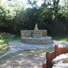
Socha Budhy v Zahradě soucitu v osadě Na Kopečku
4.1 km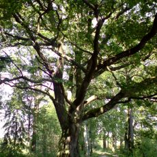
Dub u Budínského rybníka
2.2 km
Dub u Starého Vdovce 2
1.1 km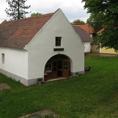
Kovárna
2.9 km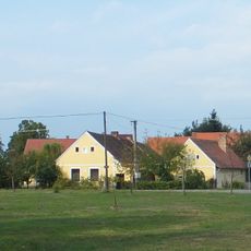
Stříbřec čp. 9
2.9 km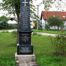
Pomník padlým v Mláce
4.1 km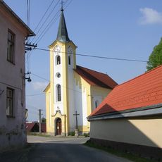
Church of Saint John of Nepomuk
2.9 km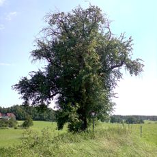
Stříbřecká hrušeň
2.8 km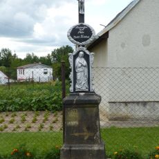
Kříž u čp. 33
2.9 km
Zemědělský dvůr čp. 35 a 37
2.7 km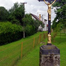
Kříž u čp. 62
2.9 km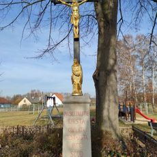
Kříž na návsi
3.4 kmReviews
Visited this place? Tap the stars to rate it and share your experience / photos with the community! Try now! You can cancel it anytime.
Discover hidden gems everywhere you go!
From secret cafés to breathtaking viewpoints, skip the crowded tourist spots and find places that match your style. Our app makes it easy with voice search, smart filtering, route optimization, and insider tips from travelers worldwide. Download now for the complete mobile experience.

A unique approach to discovering new places❞
— Le Figaro
All the places worth exploring❞
— France Info
A tailor-made excursion in just a few clicks❞
— 20 Minutes