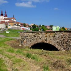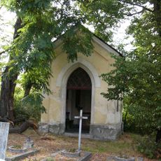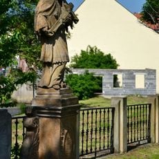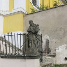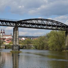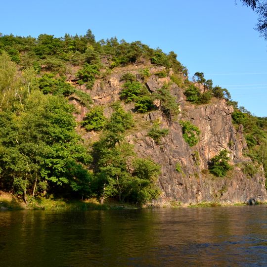
Želinský meandr, Natural monument in Kadaň, Czech Republic
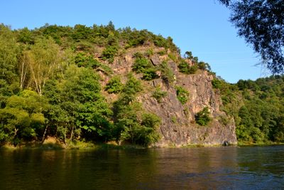
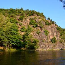
Želinský meandr is a 185.8-hectare natural monument east of Kadaň where the Ohře River cuts a rocky meander through a valley 60–65 metres deep. The protected area, in the Kadaň, Rokle and Tušimice cadastres at 275–331 metres above sea level, preserves the last example of the river's original middle course, with the river channel covering 82.2 hectares and forests about 56 hectares.
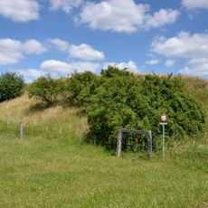
The area was first declared a protected natural feature by the Chomutov district office on 28 May 1992. On 1 November 2013 the Ústí nad Labem regional authority re-declared it as a natural monument, registered under number 1534. In the past much of the land was cattle pasture, and a small protrusion in the southeast reaches the prehistoric Hradec hillfort.
The name refers to the hamlet of Želina, whose small hydroelectric plant has stood in the protected area since the 20th century. A small spur of the reserve in the southeast overlaps the prehistoric hillfort Hradec, so the valley holds archaeological traces alongside its natural features.
The protected area covers 185.8 hectares between 275 and 331 metres above sea level, in the cadastral territories of Kadaň, Rokle and Tušimice. The Ohře channel accounts for 82.2 hectares and forests for about 56; the river's backwater from the Nechranice reservoir reaches the eastern edge. A small hydroelectric plant, Želina, has stood in the area since the 20th century.
The green lizard, a rare reptile species, finds one of its few European refuges here and lives in the dry heathland areas. This species prefers warmer microhabitats that are particularly common in the river bend.
The community of curious travelers
AroundUs brings together thousands of curated places, local tips, and hidden gems, enriched daily by 93,933 contributors worldwide.