Kadaň

Log in to your account

AroundUs is a community-driven map of interesting places, built by curious explorers like you. It grows with every review, story, and photo you share.
Connect to save your favorite spots, contribute locations, and create personalized routes.
Continue with Google
Continue with Apple
Continue with X
Continue with Facebook
Continue with email
By continuing, you accept our Terms and Conditions and our Privacy Policy
Create an account
Add to collection
Map
Suggest a change
Share

Kadaň, Medieval town in Chomutov District, Czech Republic

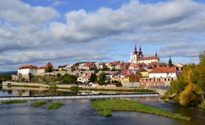
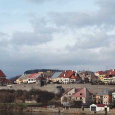
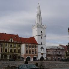
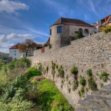
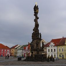
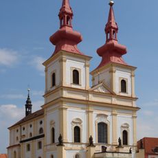
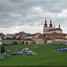
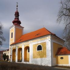
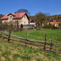
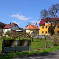
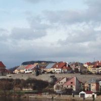
Kadaň is a town with royal privileges in Chomutov District that follows the Ohře River, with a central square dominated by a Gothic Town Hall Tower and bordered by Renaissance structures. The layout reflects centuries of development along the waterway, creating distinct neighborhoods with buildings from different periods.

The town gained royal status around 1260, building on a market settlement established during the late 11th century colonization period. This elevation transformed the location from a simple trading post into a regional administrative center.

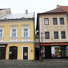
The annual Emperor's Day festival features historical reenactments and traditional music that commemorate a royal visit, while local crafts remain visible in the town center and surrounding workshops.

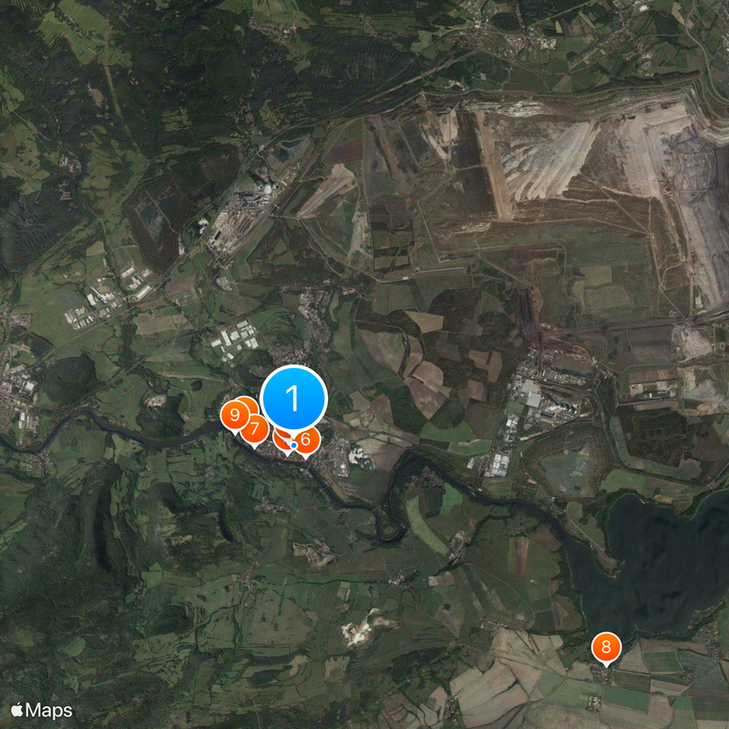
Four train stations link the town to the Kadaň-Děčín railway line, offering multiple entry and exit points for visitors. The riverside location makes the main attractions accessible on foot, especially the central square and adjacent streets.

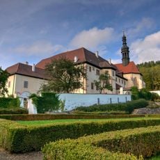
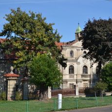
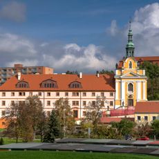
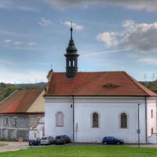
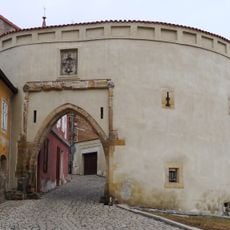
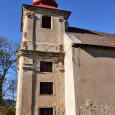
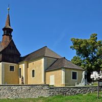
The Franciscan Monastery holds rare medieval murals and an exceptional vaulted cellar system that earned it status as a national cultural monument. Few visitors discover this hidden layer of the town's heritage, though the vault architecture itself speaks to medieval construction techniques.

Location: Chomutov District

Location: upravni občinski okoliš z razširjenimi pristojnostmi Kadaň

Elevation above the sea: 300 m

Reference: CZ0422563102

Shares border with: Radonice, Málkov, Vilémov, Hradiště Military Area, Březno, Výsluní, Klášterec nad Ohří, Rokle, Spořice, Místo

Email: sekretariat@mesto-kadan.cz

Website: http://mesto-kadan.cz

GPS coordinates: 50.37609,13.27140

Latest update: December 20, 2025 03:05

Photos
Reviews

Visited this place? Tap the stars to rate it and share your experience / photos with the community! Try now! You can cancel it anytime.

« Kadaň - Medieval town in Chomutov District, Czech Republic » is provided by Around Us (aroundus.com). Images and texts are derived from Wikimedia project under a Creative Commons license. You are allowed to copy, distribute, and modify copies of this page, under the conditions set by the license, as long as this note is clearly visible.

Discover hidden gems everywhere you go!

From secret cafés to breathtaking viewpoints, skip the crowded tourist spots and find places that match your style. Our app makes it easy with voice search, smart filtering, route optimization, and insider tips from travelers worldwide. Download now for the complete mobile experience.

Around Us App Screenshot

A unique approach to discovering new places

Le Figaro

All the places worth exploring

France Info

A tailor-made excursion in just a few clicks

20 Minutes