Amálino údolí, Nature reserve in Kašperské Hory, Czech Republic
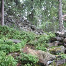
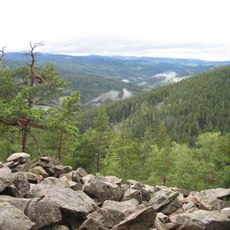
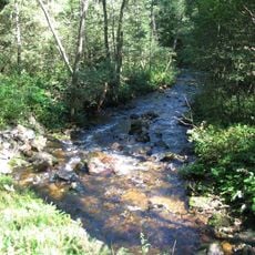
Amálino údolí is a nature reserve of 80.93 ha, declared on 1 January 1994, southeast of Kašperské Hory in the Šumava Protected Landscape Area. The Zlatý potok flows through a deep valley from east to west, and the reserve's asymmetric terrain holds rock outcrops, wetlands, tree groups and springs.
Amálino údolí was declared a nature reserve on 1 January 1994. Its name refers to Amálie, linked to local gold-mining history. The reserve covers 80.93 hectares, mostly in the Plzeň Region, with a small part in the South Bohemian Region.
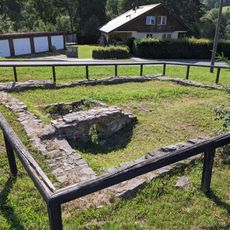
The valley holds traces of medieval mining work that visitors can spot while walking along the waterways. The way people use and speak about this place reflects how central the area's gold extraction heritage is to local identity.
Two marked educational trails run through the reserve: Cestou zlatokopů (Path of the Gold Miners) and Stezka strážců hranice (Trail of the Border Guards). The Zlatý potok cuts a deep, east-to-west valley, and the ground is broken and uneven, so wear sturdy footwear.
One tunnel within the reserve houses a seismic station that has been recording global earthquakes since 1961. Visitors might spot this hidden scientific outpost while exploring the natural landscape.
The community of curious travelers
AroundUs brings together thousands of curated places, local tips, and hidden gems, enriched daily by 94,019 contributors worldwide.