Enable Location

We need your location to show you interesting places around you

Discover nearby places

Find interesting locations and hidden gems around you

Precise directions

Get accurate directions and distances to places

Your location is never shared with other users. It's only used when you tap the location button.

Baldov

Log in to your account

Start exploring — it's free

Trusted by 62,547 travelers worldwide

Continue with Google
Continue with Apple
or

We will send you a code to connect

By continuing, you accept our Terms and Conditions and our Privacy Policy

Check your inbox

We've sent a pincode in your inbox. Please enter the code below.

Baldov

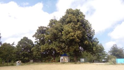
Baldov, Mountain summit near Domažlice, Czech Republic

Baldov is a mountain summit near Domažlice that rises approximately 548 meters. From this vantage point, views extend across the town and the forested landscape beyond.

The location was used in 1431 by Cardinal Cesarini as a strategic position to observe troop movements before a major battle. This event marked a turning point in the conflict between opposing forces in the region.

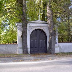
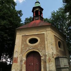
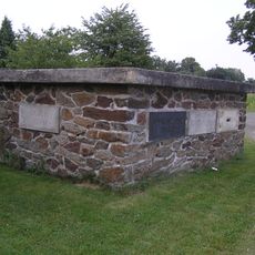
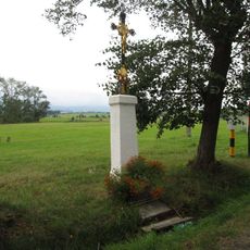
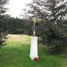
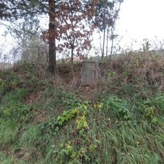
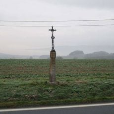
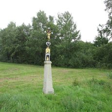
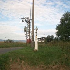
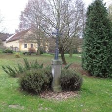
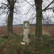
The site features metal plaques and stone slabs that commemorate important moments in Czech history. Visitors can encounter these memorials while walking and learn about the region's past.

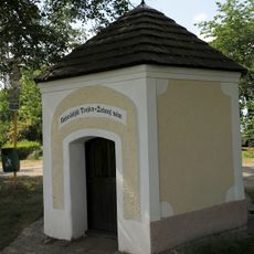
A hiking trail reaches the summit and was opened in 2013 with outdoor installations along the way. The location is easily accessible and suitable for a pleasant walk with views.

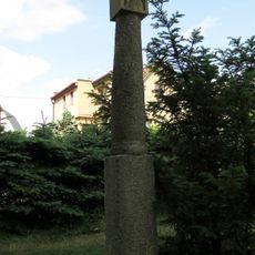
The summit houses a large granite chalice monument installed in 2015 and a telecommunications tower operated by a local radio club. This blend of memorial and technical infrastructure is quite distinctive.

The community of curious travelers

AroundUs brings together thousands of curated places, local tips, and hidden gems, enriched daily by 60,000 contributors worldwide.

Start exploring
GPS coordinates
49.46187,12.91568
Latest update
December 14, 2025 14:26
Around this place
Památník husitského vítězství u Domažlic
Czech Republic

Památník husitského vítězství u Domažlic

31 m
Jewish cemetery in Domažlice
Czech Republic

Jewish cemetery in Domažlice

1.9 km
Dub u gymnázia
Czech Republic

Dub u gymnázia

2.4 km
Vila Benešova č.p. 282 se zahradou a oplocením
Czech Republic

Vila Benešova č.p. 282 se zahradou a oplocením

2.2 km
Vila, Domažlice, Benešova č.p. 282
Czech Republic

Vila, Domažlice, Benešova č.p. 282

2.2 km
Vila pro Luisu Froňkovou-Neužilovou
Czech Republic

Vila pro Luisu Froňkovou-Neužilovou

2.3 km
Column shrine in Hanův park, Domažlice
Czech Republic

Column shrine in Hanův park, Domažlice

2.3 km
Chapel of Saint John of Nepomuk
Czech Republic

Chapel of Saint John of Nepomuk

2.4 km
Pomník husitského vítězství roku 1431 - základní kámen
Czech Republic

Pomník husitského vítězství roku 1431 - základní kámen

32 m
Kaplička Nejsvětější Trojice
Czech Republic

Kaplička Nejsvětější Trojice

50 m
Evangelical church
Czech Republic

Evangelical church

2.3 km
Usedlost čp. 2
Czech Republic

Usedlost čp. 2

1.8 km
Forestry school in Domažlice
Czech Republic

Forestry school in Domažlice

2 km
Kříž u Domažlic u rybníka U tří vrb
Czech Republic

Kříž u Domažlic u rybníka U tří vrb

1.2 km
Kříž nad Luženičkami před rozcestím
Czech Republic

Kříž nad Luženičkami před rozcestím

984 m
Kříž západně od Bozdíše
Czech Republic

Kříž západně od Bozdíše

2.1 km
Kaple v Luženicích
Czech Republic

Kaple v Luženicích

1.8 km
Kříž západně od Domažlic
Czech Republic

Kříž západně od Domažlic

2 km
Kříž u Dolního Baldova
Czech Republic

Kříž u Dolního Baldova

1.4 km
Kříž nad Luženičkami
Czech Republic

Kříž nad Luženičkami

873 m
Kříž na rozcestí v Třebnicích
Czech Republic

Kříž na rozcestí v Třebnicích

2.2 km
Kříž u Luženic u cesty na severozápad
Czech Republic

Kříž u Luženic u cesty na severozápad

1.9 km
Kříž u Luženic u hřiště
Czech Republic

Kříž u Luženic u hřiště

1.6 km
Kříž u Luženic u zemědělského areálu
Czech Republic

Kříž u Luženic u zemědělského areálu

2 km
Kříž v Bozdíši
Czech Republic

Kříž v Bozdíši

2 km
Kříž východně od Bozdíše
Czech Republic

Kříž východně od Bozdíše

2.1 km
Boží muka západně od Třebnic
Czech Republic

Boží muka západně od Třebnic

2.2 km
Kříž východně od Dolního Baldova
Czech Republic

Kříž východně od Dolního Baldova

1.4 km
Show the full map
« Baldov - Mountain summit near Domažlice, Czech Republic » is provided by Around Us (aroundus.com). Images and texts are derived from Wikimedia project under a Creative Commons license. You are allowed to copy, distribute, and modify copies of this page, under the conditions set by the license, as long as this note is clearly visible.

Discover hidden gems everywhere you go!

From secret cafés to breathtaking viewpoints, skip the crowded tourist spots and find places that match your style. Our app makes it easy with voice search, smart filtering, route optimization, and insider tips from travelers worldwide. Download now for the complete mobile experience.

Around Us App Screenshot

A unique approach to discovering new places

Le Figaro

All the places worth exploring

France Info

A tailor-made excursion in just a few clicks

20 Minutes

Around Us
Travel Guide & Maps
Download

Send to your phone

QR Code
1

Open the camera app on your mobile.

2

Point at the QR code with your camera. A notification will appear.

3

Tap the notification to open the link.