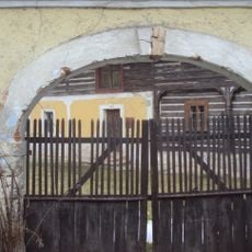
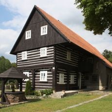
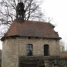
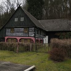
Dokeská pahorkatina, Geomorphological subunit in Ralsko Uplands, Czech Republic.
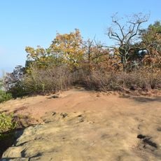
Dokeská pahorkatina is a rolling landscape within the Ralsko Uplands characterized by sandstone formations and clay deposits across its terrain. The area consists of several distinct subregions including Polomené hory and Bezdězská vrchovina, linked by established hiking networks.
The geomorphological unit was defined by Jaromír Demek as subunit VIA-1A of the Ralská pahorkatina, itself part of the Česká tabule within the Česká vysočina. Its five districts, including Polomené hory and Bezdězská vrchovina, were shaped from Upper Cretaceous sandstones, sandy marls and Tertiary volcanics.
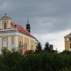
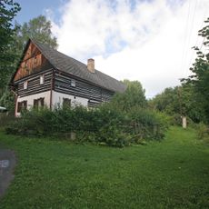
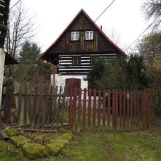
The unit takes its name from Doksy, the town at its centre, and its five districts are named after local hills and basins, such as Polomené hory and Bezdězská vrchovina. The sandstone uplands of Polomené hory lie largely within the Kokořínsko Protected Landscape Area, while the ponds of the Jestřebská kotlina basin, including Holanské rybníky and Novozámecký rybník, are also protected.
This area is best explored on foot using the established trail network that connects the different sections. Visitors should prepare for changing weather conditions and wear sturdy footwear to navigate the rolling terrain safely.
The Jestřebská kotlina holds several ponds on protected land, among them Novozámecký rybník, a national nature reserve, and Břehyňský rybník near Břehyně-Pecopala. The whole unit also contains NPP Swamp and PP Husa, small reserves protecting sandstone weathering forms.
The community of curious travelers
AroundUs brings together thousands of curated places, local tips, and hidden gems, enriched daily by 94,926 contributors worldwide.