
V oboře, protected area in Czech Republic
Location: Hranice
Inception: September 30, 1952
GPS coordinates: 49.55610,17.76930
Latest update: April 8, 2025 12:19


Sculpture of drainage divide Black-Baltic sea in Bělotín
2.3 km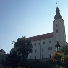
Hranice Chateau
2.6 km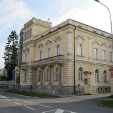
Vila zvaná Kunzova
2.4 km
Hranice (klein district)
1.8 km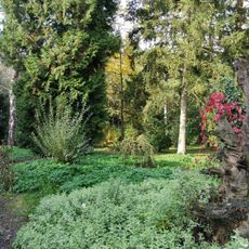
Arboretum Střední lesnické školy v Hranicích
2.4 km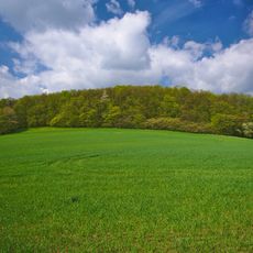
Velká Kobylanka
1.7 km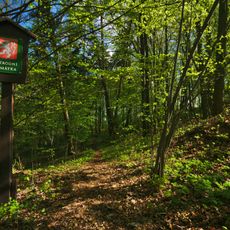
Nad kostelíčkem
905 m
Malá Kobylanka
1.6 km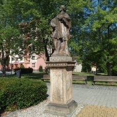
Socha svatého Jana Nepomuckého
2.5 km
Hřbitovní 265 (Hranice)
2.5 km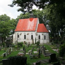
Church of the Nativity of the Virgin Mary
995 m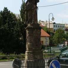
Socha Bolestné Panny Marie
2.5 km
Pošta
2.5 km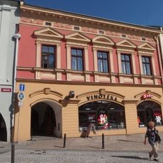
Masarykovo náměstí 96
2.6 km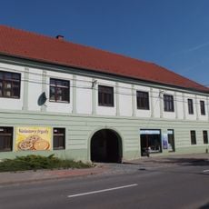
Čaputův dvůr
2.5 km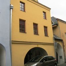
Zámecká 104
2.6 km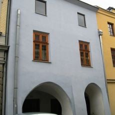
Zámecká 105
2.6 km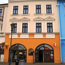
Masarykovo náměstí 94
2.6 km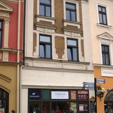
Masarykovo náměstí 95
2.6 km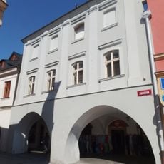
Zámecká 97
2.6 km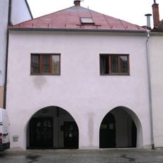
Pernštejnské náměstí 109
2.6 km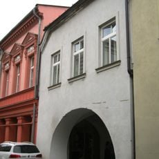
Zámecká 100
2.6 km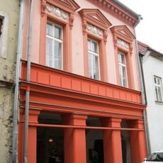
Zámecká 101
2.6 km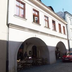
Zámecká 98
2.6 km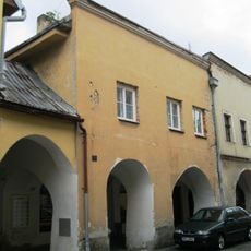
Zámecká 103
2.6 km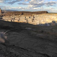
Quarry in Hranice
455 m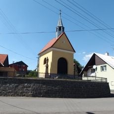
Chapel of Saint Anne
1.6 km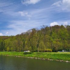
Hůrka u Hranic
2.5 kmReviews
Visited this place? Tap the stars to rate it and share your experience / photos with the community! Try now! You can cancel it anytime.
Discover hidden gems everywhere you go!
From secret cafés to breathtaking viewpoints, skip the crowded tourist spots and find places that match your style. Our app makes it easy with voice search, smart filtering, route optimization, and insider tips from travelers worldwide. Download now for the complete mobile experience.

A unique approach to discovering new places❞
— Le Figaro
All the places worth exploring❞
— France Info
A tailor-made excursion in just a few clicks❞
— 20 Minutes