
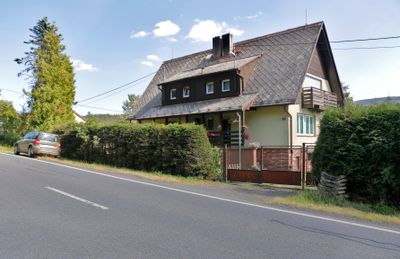
Černá Řeka, part of Klenčí pod Čerchovem in Domažlice District
Location: Klenčí pod Čerchovem
GPS coordinates: 49.41170,12.75640
Latest update: March 3, 2025 09:25
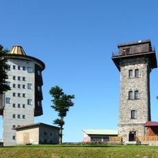
Schwarzkopf
3.7 km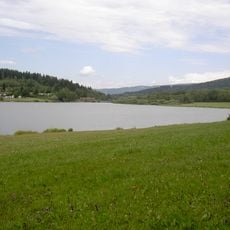
Perlsee
4.6 km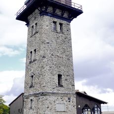
Kurzova rozhledna
3.7 km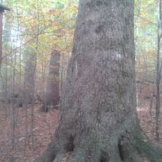
Fremuthova jedle
4.9 km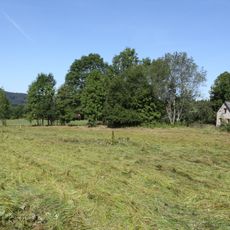
Louka u Staré Huti
3 km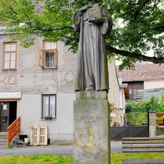
Socha mistra Jana Husa v Klenčí pod Čerchovem
4.7 km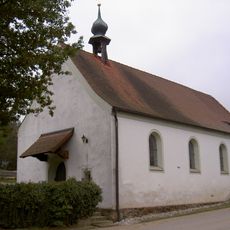
Dorfkapelle St. Michael
3.9 km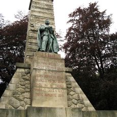
Jindřich Šimon Baar monument
3.5 km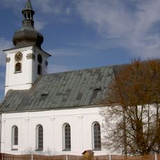
Church of Saint Martin
5 km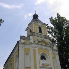
Church of Saint John of Nepomuk
3.6 km
Socha v Klenčí
5 km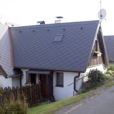
Venkovská usedlost - dvojdům čp. 82, če. 1
4.2 km
Dům čp. 127
4.8 km
Kříž v Dílech u kaple
4.4 km
Pfarrgasse 6 Waldmünchen
5 km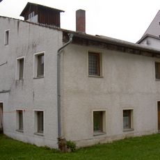
Schloßhof 10 Waldmünchen
5 km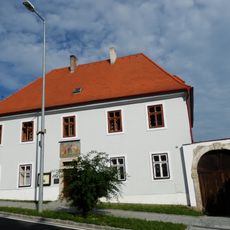
Fara
4.9 km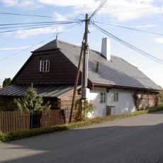
Dům čp. 44
4.6 km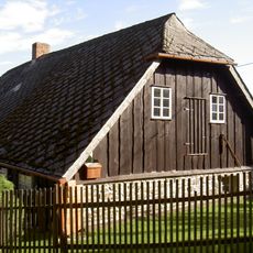
Dům čp. 48
4.3 km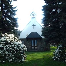
Chapel of Saints Cyril and Methodius
4.5 km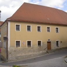
Böhmerstraße 25 Waldmünchen
5 km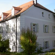
Ehemaliges Zollhaus
4.9 km
Menhir severně od Staré Huti
3.4 km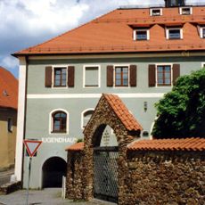
Pfarrhof
5 km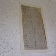
Gotische Steinplatte
5 km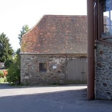
Ehemaliges Zeughaus
4.9 km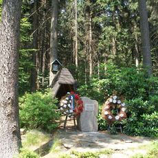
Památník západně od Dílů
4.5 km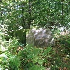
Pamětní deska lesníka Josefa Svačiny u parkoviště Capartice silnice Klenčí - Lísková
3.4 kmReviews
Visited this place? Tap the stars to rate it and share your experience / photos with the community! Try now! You can cancel it anytime.
Discover hidden gems everywhere you go!
From secret cafés to breathtaking viewpoints, skip the crowded tourist spots and find places that match your style. Our app makes it easy with voice search, smart filtering, route optimization, and insider tips from travelers worldwide. Download now for the complete mobile experience.

A unique approach to discovering new places❞
— Le Figaro
All the places worth exploring❞
— France Info
A tailor-made excursion in just a few clicks❞
— 20 Minutes