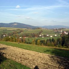
Kiczory, Mountain summit on the Polish-Czech border in the Silesian Beskids, Poland
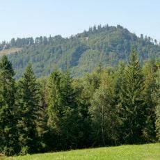
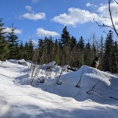
Kiczory (Czech: Kyčera) is a forested summit reaching 989–990 m in the Silesian Beskids, on the Polish-Czech border about 5.5 km northeast of Jablunkov. It is the second-highest peak of the Stożek and Czantoria range after Velká Čantoryja. The state border turns at right angles southward at the summit, leaving the main ridge.
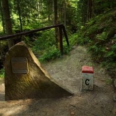
Since 1993 the summit has carried the Polish-Czech state border, which turns at right angles to the south here and leaves the main ridge of the Stożek and Czantoria range. The ridge also separates the villages of Wisła and Istebna in Cieszyn County, Silesian Voivodeship.
The name Kiczory comes from the local dialect word for a mountain covered in forest, and the Czech form Kyčera is used on the Czech side of the border. The state border crosses the summit and turns at a right angle to the south, leaving the main ridge of the Stożek and Czantoria range. The ridge between Kiczory and Kyrkawica is known for its rock outcrops, the Rock Mushrooms of Kyrkawica.
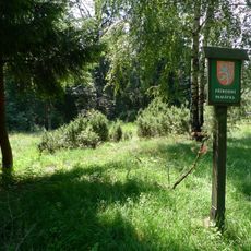
Kiczory lies on the Polish-Czech border in the Silesian Beskids, about 5.5 km northeast of Jablunkov. Red-marked trails reach the summit from Kubalonka pass in 1:35 h and from Stożek in 25 min; a green trail climbs from Istebna via Sałasz Dupne in 2 h. The Plenisko nature reserve lies on the Czech slope below the peak.
The state border running over the summit turns at a right angle here and leaves the main ridge of the Stożek and Czantoria range, heading south. The ridge also carries the watershed between the Vistula and the Olza, which drains to the Oder and the Baltic, not the Black Sea.
The community of curious travelers
AroundUs brings together thousands of curated places, local tips, and hidden gems, enriched daily by 92,174 contributors worldwide.