Kraina Rudaw

Log in to your account

AroundUs is a community-driven map of interesting places, built by curious explorers like you. It grows with every review, story, and photo you share.
Connect to save your favorite spots, contribute locations, and create personalized routes.
By continuing, you accept our Terms and Conditions and our Privacy Policy
Add to collection
Map
Suggest a change
Share

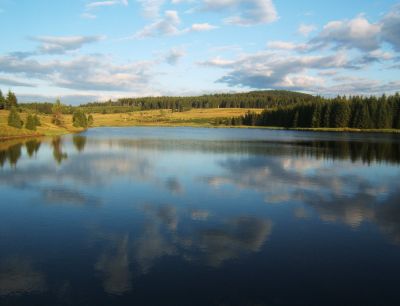
Kraina Rudaw, Geomorphological subprovince in northern Czechia.

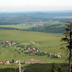
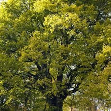
The Erzgebirgs-Subprovince spans mountainous terrain with metamorphic rock formations and numerous valleys situated between the Czech Republic and Germany. The landscape shows a complex geological structure with varied mineral deposits appearing at different elevations throughout the region.

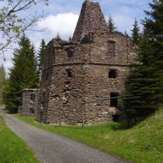
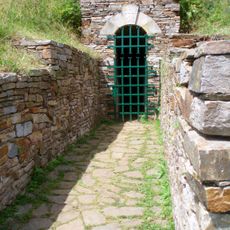
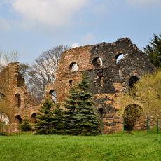
Medieval miners extracted large quantities of silver, tin, iron, and copper from the mountains, which led to the establishment of numerous settlements throughout the area. This mining activity shaped settlement patterns and regional development for centuries afterward.

Mining traditions shape how locals view their landscape and celebrate their heritage through festivals that demonstrate historical extraction methods. Visitors can observe skilled craftspeople working with metals and materials in ways that reflect centuries of local knowledge.

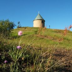
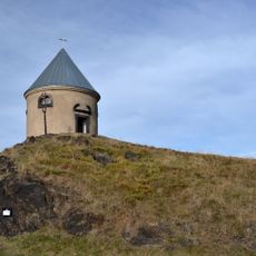
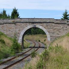
Hiking trails wind through the area connecting mineral sites, with informational geological panels positioned along the routes to explain the formations. Visitors should wear weather-resistant clothing since the mountainous location can experience sudden weather changes.

The area comprises two distinct mountain divisions called Klínovecká hornatina and Loučenská hornatina, each with its own rock formations and mineral compositions. This geological split creates a varied landscape with different mineral deposits found across relatively short distances.

GPS coordinates: 50.40833,13.06667

Latest update: December 12, 2025 07:57

Photos
Around this place
Kupferhübel
Czech Republic

Kupferhübel

3.7 km
Lime kiln in Loučná pod Klínovcem
Czech Republic

Lime kiln in Loučná pod Klínovcem

3.5 km
Chapel of Immaculate Conception
Czech Republic

Chapel of Immaculate Conception

3.7 km
Hornická kulturní krajina Háj – Kovářská – Mědník
Czech Republic

Hornická kulturní krajina Háj – Kovářská – Mědník

1.7 km
Mundloch des Mariahilfstolln
Czech Republic

Mundloch des Mariahilfstolln

3.6 km
Church of Saint Michael
Czech Republic

Church of Saint Michael

3.6 km
Chapel of Saint Thérèse of Lisieux
Czech Republic

Chapel of Saint Thérèse of Lisieux

1.6 km
Lípa v Ondřejově
Czech Republic

Lípa v Ondřejově

2.9 km
Most přes železniční trať východně od Kovářské
Czech Republic

Most přes železniční trať východně od Kovářské

3.4 km
Hrzínská lípa
Czech Republic

Hrzínská lípa

3.7 km
Uhelna
Czech Republic

Uhelna

3.2 km
Maria Column in Kovářská
Czech Republic

Maria Column in Kovářská

3.6 km
Rectory in Kovářská
Czech Republic

Rectory in Kovářská

3.6 km
House Nr. 8 in Malý Hrzín
Czech Republic

House Nr. 8 in Malý Hrzín

3.7 km
Dům čp. 133
Czech Republic

Dům čp. 133

3.7 km
Pomník Švédský hrob u silnice západně od Kovářské
Czech Republic

Pomník Švédský hrob u silnice západně od Kovářské

3.6 km
Dům čp. 89
Czech Republic

Dům čp. 89

3.6 km
Dům čp. 58
Czech Republic

Dům čp. 58

3.6 km
Dům čp. 115
Czech Republic

Dům čp. 115

3.6 km
Dům čp. 59
Czech Republic

Dům čp. 59

3.6 km
Pomník padlým z 1. světové války v Horní Halži
Czech Republic

Pomník padlým z 1. světové války v Horní Halži

1.6 km
Kříž u domu 38 v Kovářské
Czech Republic

Kříž u domu 38 v Kovářské

3.2 km
Pomník padlým naproti kostelu v Kovářské
Czech Republic

Pomník padlým naproti kostelu v Kovářské

3.6 km
Plastika z kamene a kovu v parku na náměstí Jana Švermy v Kovářské
Czech Republic

Plastika z kamene a kovu v parku na náměstí Jana Švermy v Kovářské

3.5 km
Betonová plastika u obchodu v na náměstí v Kovářské
Czech Republic

Betonová plastika u obchodu v na náměstí v Kovářské

3.5 km
Mědník Hill Mining Landscape
Czech Republic

Mědník Hill Mining Landscape

3.7 km
Mountain prayer room at Mědník
Czech Republic

Mountain prayer room at Mědník

3.6 km
Muzeum letecké bitvy nad Krušnohořím
Czech Republic

Muzeum letecké bitvy nad Krušnohořím

3.5 km
Show the full map
Reviews

Visited this place? Tap the stars to rate it and share your experience / photos with the community! Try now! You can cancel it anytime.

« Kraina Rudaw - Geomorphological subprovince in northern Czechia » is provided by Around Us (aroundus.com). Images and texts are derived from Wikimedia project under a Creative Commons license. You are allowed to copy, distribute, and modify copies of this page, under the conditions set by the license, as long as this note is clearly visible.

Discover hidden gems everywhere you go!

From secret cafés to breathtaking viewpoints, skip the crowded tourist spots and find places that match your style. Our app makes it easy with voice search, smart filtering, route optimization, and insider tips from travelers worldwide. Download now for the complete mobile experience.

Around Us App Screenshot

A unique approach to discovering new places

Le Figaro

All the places worth exploring

France Info

A tailor-made excursion in just a few clicks

20 Minutes