
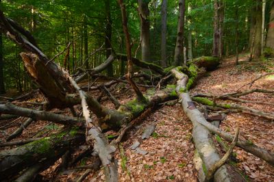
Černý důl, natuurgebied in Tsjechië
Location: Bartošovice v Orlických horách
Inception: December 31, 1933
GPS coordinates: 50.20140,16.51970
Latest update: March 3, 2025 18:50

Hanička
912 m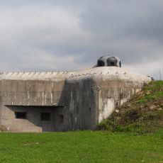
R-S 74 Na holém casemate
1.8 km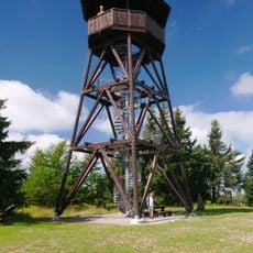
Rozhledna Anna
1.7 km
Ernestinenberg
1.7 km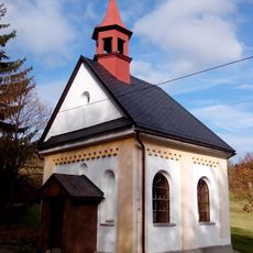
Chapel of Virgin Mary
2.5 km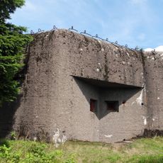
R-S 84 Arnošt casemate
1.7 km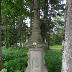
Calvary in Panské Pole
1.7 km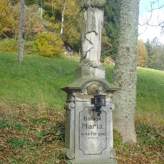
Statue of Virgin Mary in Neratov
2.4 km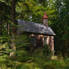
Chapel of Saint Anne
263 m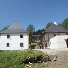
Fara
2.6 km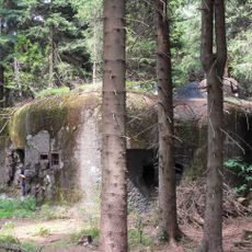
R-S 86 U paseky casemate
2.3 km
R-H-S 78 Na pasece casemate
615 m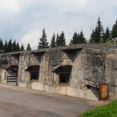
R-H-S 79 Na mýtině casemate
588 m
R-H-S 79a U silnice casemate
897 m
R-H-S 80 U potůčku casemate
566 m
R-S 72 Nízká casemate
2.4 km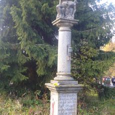
Column with Pietà in Neratov
2.2 km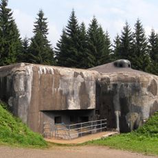
R-H-S 76 U lomu casemate
715 m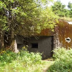
R-S 85 Anna casemate
1.8 km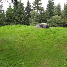
R-H-S 77 U pozorovatelny casemate
539 m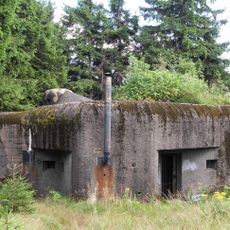
R-S 83 Chata casemate
1.3 km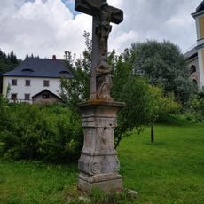
Kříž v Sadu smíření v Neratově
2.6 km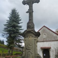
Main cemetery cross in Neratov
2.6 km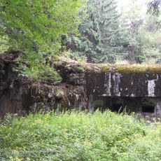
R-S 73 Na okraji casemate
2.1 km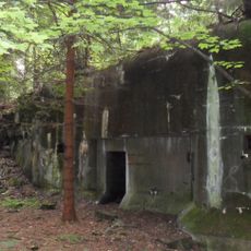
R-S 75 U křížku casemate
1.1 km
Kříž v Panském Poli
1.7 km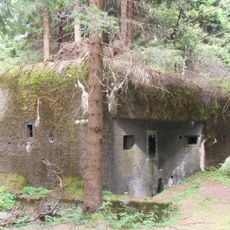
R-S 82 Poslední casemate
766 m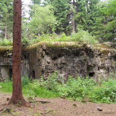
R-S 81 U obrázku casemate
630 mReviews
Visited this place? Tap the stars to rate it and share your experience / photos with the community! Try now! You can cancel it anytime.
Discover hidden gems everywhere you go!
From secret cafés to breathtaking viewpoints, skip the crowded tourist spots and find places that match your style. Our app makes it easy with voice search, smart filtering, route optimization, and insider tips from travelers worldwide. Download now for the complete mobile experience.

A unique approach to discovering new places❞
— Le Figaro
All the places worth exploring❞
— France Info
A tailor-made excursion in just a few clicks❞
— 20 Minutes