
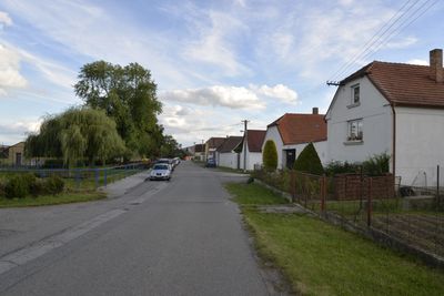
Virt, part of Strakonice
Location: Strakonice
Elevation above the sea: 412 m
GPS coordinates: 49.26360,13.87000
Latest update: April 29, 2025 09:45
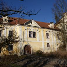
Střela Castle
1.2 km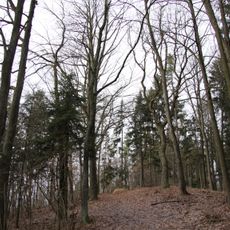
Kuřidlo
1.2 km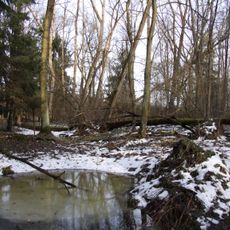
Bažantnice u Pracejovic
436 m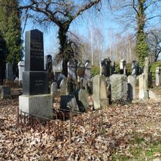
Jewish cemetery in Strakonice
1.4 km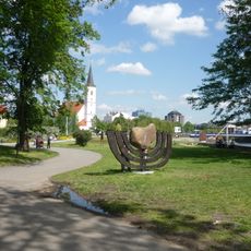
Memento strakonických Židů
2.2 km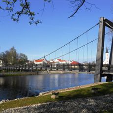
Footbridge over the Otava in Strakonice
2.2 km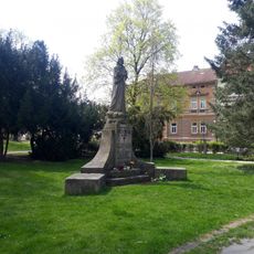
Památník Jana Husa ve Strakonicích
2.2 km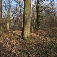
Rýžoviště zlata
481 m
Busta F. L. Čelakovského od Vojtěcha Šípa
1.7 km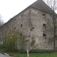
Granary in Střela
1.4 km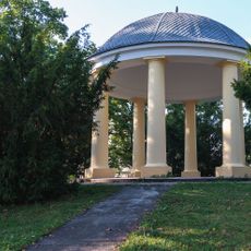
Cultural monuments in Rennerovy sady
2.3 km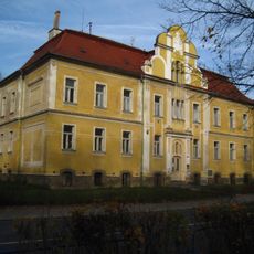
Sirotčinec
2.3 km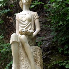
Socha Dorotky
1.9 km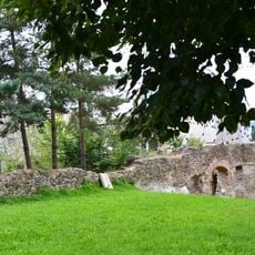
City walls of Strakonice
2.2 km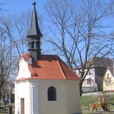
Chapel of Saint John of Nepomuk
1.1 km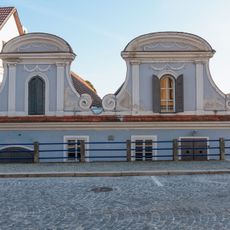
Velké náměstí 45
2.3 km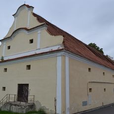
Castle granary in Strakonice
2.2 km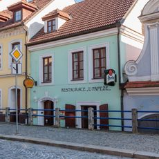
Dům čp. 44
2.3 km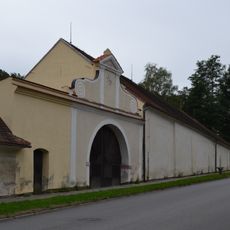
Panský dvůr
2.3 km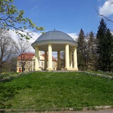
Gazebo in Rennerovy sady
2.3 km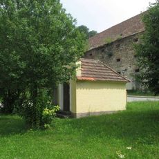
Chapel of Saint John the Baptist in Střela
1.4 km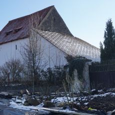
Špýchar usedlosti čp. 17
1.7 km
Švandova lípa
1.9 km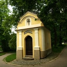
Chapel of Saint John of Nepomuk in Strakonice
2.2 km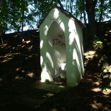
Výklenková kaple svatého Petra ve Strakonicích
1.7 km
Kříž na památku obětí letecké havarie u letiště ve Strakonicích
1.9 km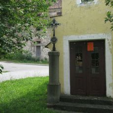
Kříž u kaple ve Střele
1.4 km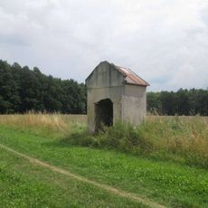
Kaplička východně od Katovic
2.2 kmReviews
Visited this place? Tap the stars to rate it and share your experience / photos with the community! Try now! You can cancel it anytime.
Discover hidden gems everywhere you go!
From secret cafés to breathtaking viewpoints, skip the crowded tourist spots and find places that match your style. Our app makes it easy with voice search, smart filtering, route optimization, and insider tips from travelers worldwide. Download now for the complete mobile experience.

A unique approach to discovering new places❞
— Le Figaro
All the places worth exploring❞
— France Info
A tailor-made excursion in just a few clicks❞
— 20 Minutes