Strakonice

Log in to your account

AroundUs is a community-driven map of interesting places, built by curious explorers like you. It grows with every review, story, and photo you share.
Connect to save your favorite spots, contribute locations, and create personalized routes.
Continue with Google
Continue with Apple
Continue with X
Continue with Facebook
Continue with email
By continuing, you accept our Terms and Conditions and our Privacy Policy
Create an account
Add to collection
Map
Suggest a change
Share

Strakonice, Administrative town in South Bohemia, Czech Republic.

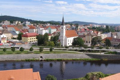
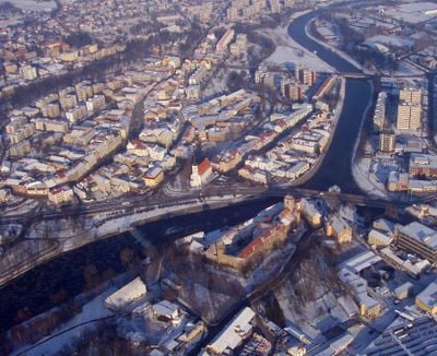
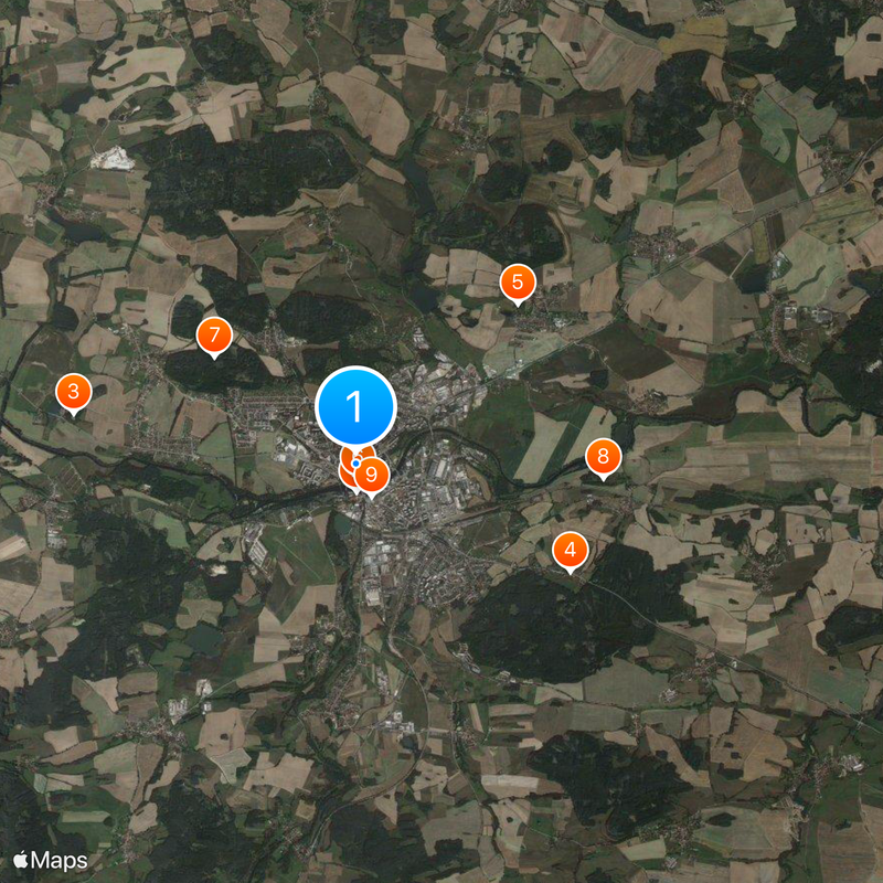
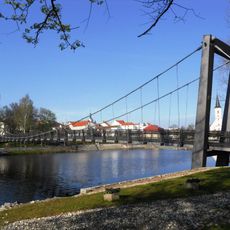
Strakonice sits where the Volyňka and Otava rivers meet, about 51 kilometers northwest of České Budějovice at 393 meters elevation. The town serves as the administrative hub for Strakonice District and holds expanded municipal authority for the region.

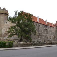
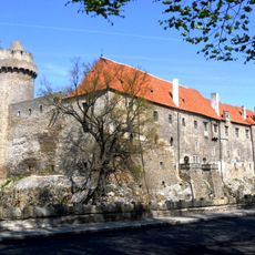
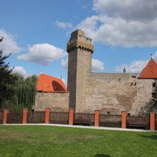
The noble Bavor family built Strakonice Castle in the early 13th century, with the first written records appearing in 1235. The fortress shaped the town's development as a regional stronghold for generations.

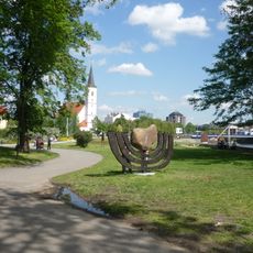
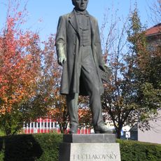
The International Bagpipe Festival brings musicians and folk music enthusiasts to the town, connecting to regional musical traditions that inspired composer Josef Kajetán Tyl. Visitors can experience traditional music and local cultural performances throughout the event.

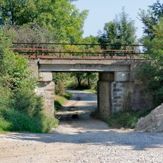
The town is easily reached by rail and offers good connections to other towns in the region. Visitors will find shops, restaurants, and lodging arranged throughout the town center and surrounding areas.

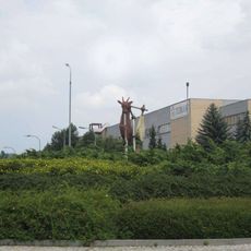
The town earned its reputation through manufacturing fez hats and motorcycles, shaping Czech industrial heritage. Today the Dudák Brewery, founded in 1649, continues this legacy of skilled production and local craftsmanship.

Location: Strakonice District

Location: SO ORP Strakonice

Elevation above the sea: 393 m

Reference: CZ0316550787

Shares border with: Krty-Hradec, Radošovice, Pracejovice, Katovice, Nebřehovice, Slaník, Mutěnice, Droužetice, Čejetice, Řepice, Sousedovice, Štěkeň, Přešťovice

Email: epodatelna@mu-st.cz

Website: http://strakonice.eu

GPS coordinates: 49.26150,13.90240

Latest update: December 20, 2025 11:47

Photos
Reviews

Visited this place? Tap the stars to rate it and share your experience / photos with the community! Try now! You can cancel it anytime.

« Strakonice - Administrative town in South Bohemia, Czech Republic » is provided by Around Us (aroundus.com). Images and texts are derived from Wikimedia project under a Creative Commons license. You are allowed to copy, distribute, and modify copies of this page, under the conditions set by the license, as long as this note is clearly visible.

Discover hidden gems everywhere you go!

From secret cafés to breathtaking viewpoints, skip the crowded tourist spots and find places that match your style. Our app makes it easy with voice search, smart filtering, route optimization, and insider tips from travelers worldwide. Download now for the complete mobile experience.

Around Us App Screenshot

A unique approach to discovering new places

Le Figaro

All the places worth exploring

France Info

A tailor-made excursion in just a few clicks

20 Minutes