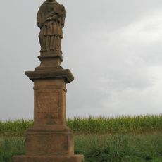
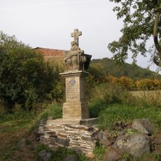
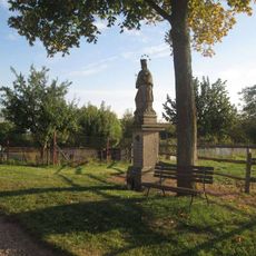
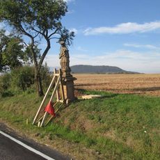
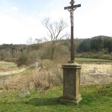
Vladař, Archaeological site in Western Bohemia, Czech Republic.
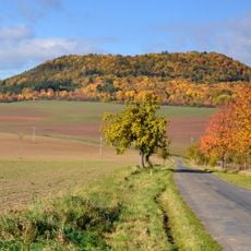
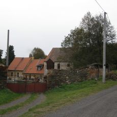
Vladař is an archaeological site on a basalt hill in Western Bohemia featuring defensive walls, terraces, and building remains from multiple historical periods. The layout shows how inhabitants used the slope for construction and chose the elevated position for protection.
The site shows occupation layers from the Bronze Age through the La Tène period with evidence of continuous settlement. These long time spans suggest the location appealed to successive cultures.
Excavations uncovered pottery, metal tools, and ornaments showing trade links with distant regions. These objects tell the story of exchange between different ancient peoples.
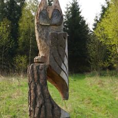
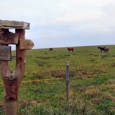
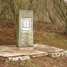
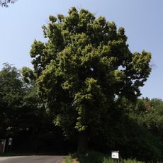
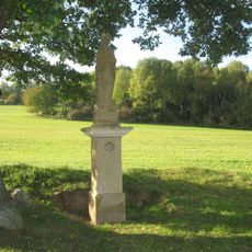
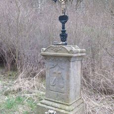
The site maintains marked pathways for visitors and information panels explaining the significance of different excavation areas. The pathways are clearly marked, making it easy to explore the main sections.
Research indicates the site functioned as a central trading point where different ancient communities exchanged goods and cultural practices. This role as a hub kept it attractive and important across several centuries.
GPS coordinates: 50.07872,13.21304
Latest update: December 14, 2025 11:26
Vladař
245 m
Dětská naučná stezka sovy Rozárky
1.6 km
Cesta za pověstí
689 m
Kolešovský jasan
1.6 km
Pomník Jana Žižky z Trocnova
598 m
Inundační železniční most jihozápadně od mostu přes Střelu poblíž dopravny Protivec
1.4 km
Socha Ecce Homo
2.6 km
Socha svatého Jana Nepomuckého
836 m
Socha svatého Jana Nepomuckého
2.4 km
Statue of Pietà
683 m
Vladař
65 m
Socha svatého Jana Nepomuckého severozápadně od Močidlce
2.4 km
Socha svatého Jana Nepomuckého západně od Močidlece
2.4 km
Smírčí kříž
2.5 km
Pomník Josefa a Friedy Heinzlových u Záhořic
1.3 km
Penitence cross in Protivec
1.7 km
Socha Ecce homo severně od Močidlece
2.2 km
Sousoší svaté Anny a Panny Marie
1.4 km
Socha svaté Barbory jižně od Kolešova
1.9 km
Kříž na lesní cestě od trati do Záhořic
981 m
Usedlost čp. 6
666 m
Kaple svatého Václava
2.3 km
Železniční most přes Střelu u stanice Protivec
1.4 km
Kříž v poli východně od Kolešova
1.6 km
Kříž u křižovatky východně od Vladořic
740 m
Luční kaple u Protivce
1.6 km
Kříž u cesty od železniční zastávky Záhořice
1.4 km
Kříž ve Močidlci
2.4 kmVisited this place? Tap the stars to rate it and share your experience / photos with the community! Try now! You can cancel it anytime.
Discover hidden gems everywhere you go!
From secret cafés to breathtaking viewpoints, skip the crowded tourist spots and find places that match your style. Our app makes it easy with voice search, smart filtering, route optimization, and insider tips from travelers worldwide. Download now for the complete mobile experience.
A unique approach to discovering new places❞
— Le Figaro
All the places worth exploring❞
— France Info
A tailor-made excursion in just a few clicks❞
— 20 Minutes