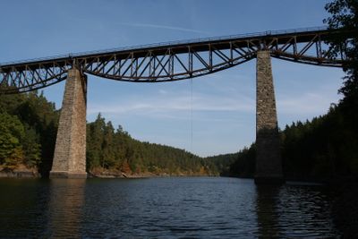
Hracholusky Reservoir, Reservoir in Tachov district, Czech Republic
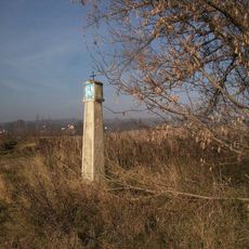
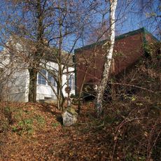
Hracholusky Reservoir is a large body of water in the Tachov district, stretching across a long distance and fed by the Mže River. Along its banks, steep cliff faces alternate with gentle sandy shores, creating varied scenery throughout the waterscape.
The reservoir was built in the late 1950s to protect the region from flooding and support irrigation needs. This construction was part of a broader effort to manage and control water resources in Western Bohemia.
The water connects four small communities and shapes how people in this region spend their days and seasons. For locals, it serves as a gathering place where fishing, walks along the shore, and water activities are part of daily rhythms.
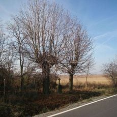
The area is best explored on foot or by car from various points along the shore, with multiple access points available. Visitors should be prepared for varying conditions, as some sections feature steep terrain while others offer easier walking routes.
The water sits at an elevation of around 372 meters and stretches for roughly 26 kilometers across the Bohemian landscape, making it unusually long for the region. This extended reach creates distinct zones with their own character along the full length of the shoreline.
Location: Úlice
Location: Stříbro
Location: Erpužice
Location: Pňovany
Inception: 1959
Elevation above the sea: 372 m
GPS coordinates: 49.79340,13.17020
Latest update: December 7, 2025 20:45
Castle Buben
2.1 km
Castle Újezd nade Mží
1.9 km
Chapel of Saint Dionysius (Hracholusky)
1.5 km
Žižkův dub
903 m
Statue of Saint Barbara in Lipno
1.8 km
Socha svatého Jana Nepomuckého
1.4 km
Chapel of Holy Trinity
2.2 km
Socha svatého Jana Nepomuckého u Újezdu nade Mží
2.1 km
Socha svatého Floriána v Újezdu nade Mží
1.9 km
Zvonice
2.3 km
Statue of Saint Anne in Lipno
1.8 km
Boží muka u řeky Mže pod Újezdem nade Mží
2.5 km
Zemědělský dvůr čp. 1
2.3 km
Boží muka u Újezdu nade Mží
2.3 km
Kříž v Písku
2.4 km
Kříž mezi Pískem a Líšťany
2.4 km
Boží muka severovýchodně u Plešnic
2.2 km
Kříž v Újezdu nade Mží u zámku
1.9 km
Kříž proti čp. 63 v Plešnicích
2.1 km
Kaple v Újezdu nade Mží
1.9 km
Výklenková kaple severně od Jezné
2.5 km
Kříž jižně od Lipna
1.6 km
Kříž u Lipna na svahu
1.9 km
Kříž u autobusové zastávky Plešnice
2.1 km
Kaplička v Lipnu
1.8 km
Kaplička nad Těchoděly
823 m
Kříž v Lipně v zahradě
1.7 km
Kříž severovýchodně od Plešnic
2.2 kmVisited this place? Tap the stars to rate it and share your experience / photos with the community! Try now! You can cancel it anytime.
Discover hidden gems everywhere you go!
From secret cafés to breathtaking viewpoints, skip the crowded tourist spots and find places that match your style. Our app makes it easy with voice search, smart filtering, route optimization, and insider tips from travelers worldwide. Download now for the complete mobile experience.
A unique approach to discovering new places❞
— Le Figaro
All the places worth exploring❞
— France Info
A tailor-made excursion in just a few clicks❞
— 20 Minutes