
Hořejší Kunčice, village in Opava District of Moravian Silesian region
Location: Jakartovice
Elevation above the sea: 445 m
GPS coordinates: 49.88060,17.64220
Latest update: March 4, 2025 22:19
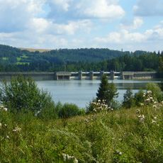
Údolní nádrž Kružberk
6.6 km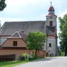
Kostel svatého Floriána
4.9 km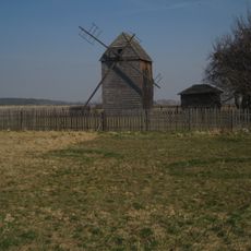
Windmill
7.2 km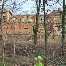
Zámek Deštné
2.8 km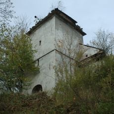
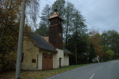
Chapel of Saint Michael
3.2 km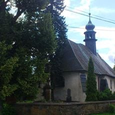
Church of Saints Peter and Paul (Kružberk)
6.5 km
Hradisko u Kružberka
6.4 km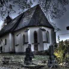
Church of the Visitation of Our Lady
2.8 km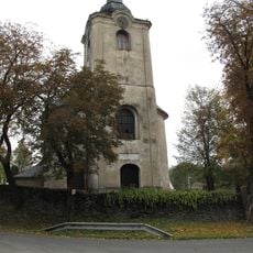
Kostel svaté Markéty
5.8 km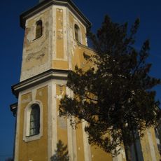
Kostel Narození Panny Marie
5 km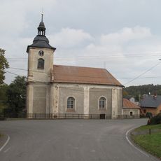
Kostel svatého Michaela archanděla (Bohdanovice)
2.1 km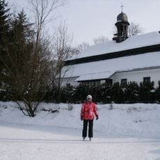
School in Májůvka
6.8 km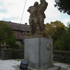
Památník padlým v 1. světové válce
6 km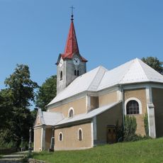
Church of Saint Lawrence
5.8 km
Church of Holy Trinity
3.3 km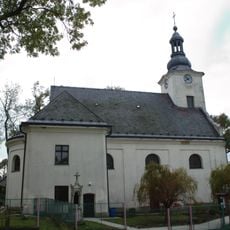
Kostel svatých Filipa a Jakuba
5.9 km
Jánské koupele
6.7 km
Church of Saint Mary
6.7 km
Chapel of Holy Trinity
6.4 km
Boží muka
6.7 km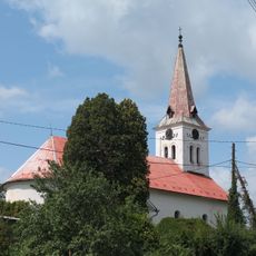
Church of Saint Wenceslaus
5.9 km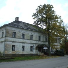
Fojtství
6.1 km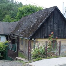
Mladecko čp. 44
5.1 km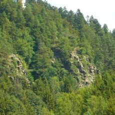
Kružberské cvičné skály
6.5 km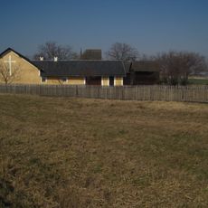
Sýpka
7.2 km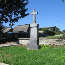
Pamětní kříž naproti restauraci U kormidla v Leskovci nad Moravicí
5.7 km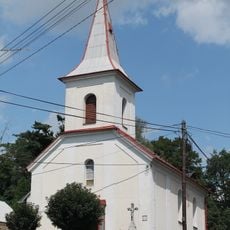
Chapel of Saint Joseph
5.1 km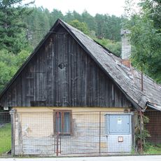
Roubený dům
5.1 kmReviews
Visited this place? Tap the stars to rate it and share your experience / photos with the community! Try now! You can cancel it anytime.
Discover hidden gems everywhere you go!
From secret cafés to breathtaking viewpoints, skip the crowded tourist spots and find places that match your style. Our app makes it easy with voice search, smart filtering, route optimization, and insider tips from travelers worldwide. Download now for the complete mobile experience.

A unique approach to discovering new places❞
— Le Figaro
All the places worth exploring❞
— France Info
A tailor-made excursion in just a few clicks❞
— 20 Minutes