
Kadolec, part of Slavonice in Jindřichův Hradec District
Location: Slavonice
Elevation above the sea: 622 m
GPS coordinates: 49.00220,15.30500
Latest update: April 4, 2025 00:26

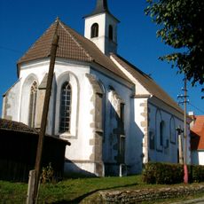
Church of Saint John the Baptist
3 km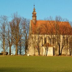
Church of the Corpus Christi
2.7 km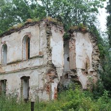
Maříž Castle
2.2 km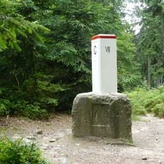
Bohemia–Moravia–Lower Austria tripoint
1.5 km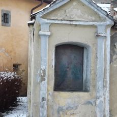
Stations of the Cross in Slavonice
2.7 km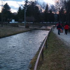
Lávka přes Slavonický potok u ulice Petra Bezruče ve Slavonicích
3.2 km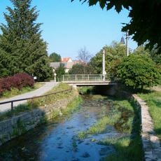
Most ulice Na potoku přes Slavonický potok v Slavonicích
3.2 km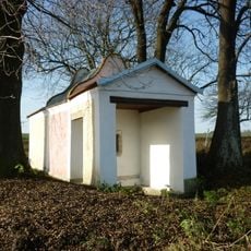
Chapel Dobrá Voda (Slavonice)
2.9 km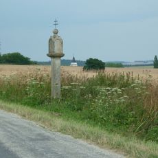
Boží muka
2.3 km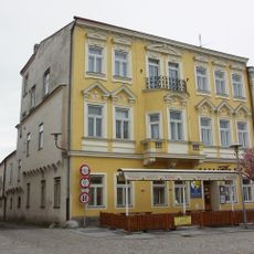
Náměstí Míru 482
3.4 km
Stálkovská 21
2.7 km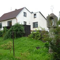
Boží muka
2.8 km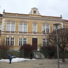
Former school in Slavonice
3.3 km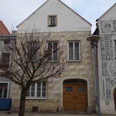
Náměstí Míru 454
3.3 km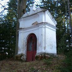
Chapel of Holy Family
1.9 km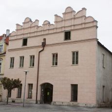
Náměstí Míru 451
3.4 km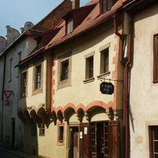
Dačická 450
3.4 km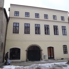
Měšťanský dům
3.4 km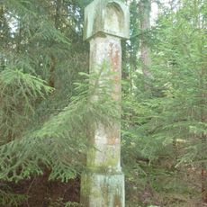
Boží muka
2.1 km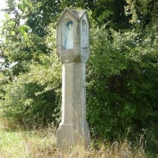
Boží muka
3 km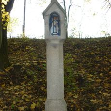
Boží muka
2.7 km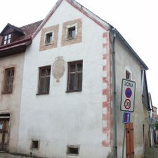
Měšťanský dům
3.4 km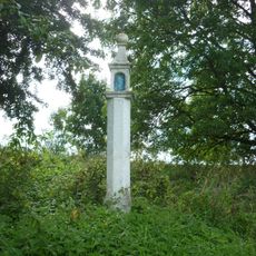
Boží muka
2.9 km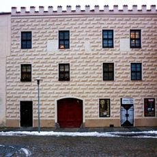
Náměstí Míru 461
3.4 km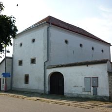
Sladovna
3.2 km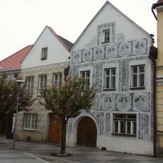
Náměstí Míru 453
3.3 km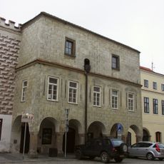
Náměstí Míru 460
3.4 km
Náměstí Míru 462
3.4 kmReviews
Visited this place? Tap the stars to rate it and share your experience / photos with the community! Try now! You can cancel it anytime.
Discover hidden gems everywhere you go!
From secret cafés to breathtaking viewpoints, skip the crowded tourist spots and find places that match your style. Our app makes it easy with voice search, smart filtering, route optimization, and insider tips from travelers worldwide. Download now for the complete mobile experience.

A unique approach to discovering new places❞
— Le Figaro
All the places worth exploring❞
— France Info
A tailor-made excursion in just a few clicks❞
— 20 Minutes